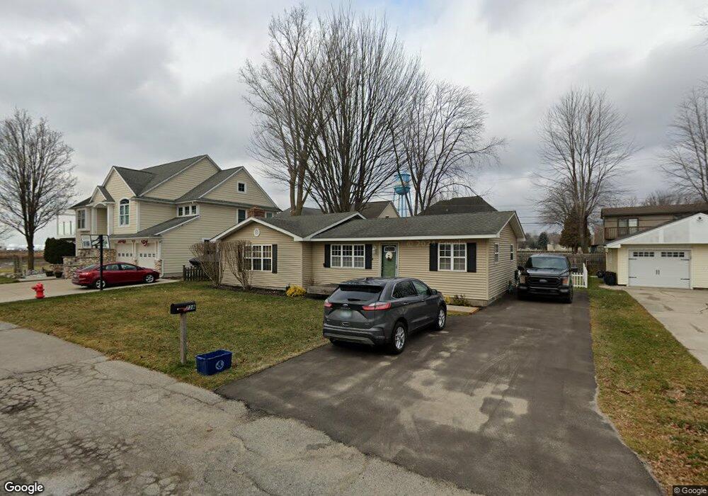
738 Townsend Dr Algonac, MI 48001
Estimated Value: $189,419 - $299,000
3
Beds
2
Baths
1,460
Sq Ft
$158/Sq Ft
Est. Value
About This Home
This home is located at 738 Townsend Dr, Algonac, MI 48001 and is currently estimated at $231,355, approximately $158 per square foot. 738 Townsend Dr is a home located in St. Clair County.
Ownership History
Date
Name
Owned For
Owner Type
Purchase Details
Closed on
Dec 9, 2005
Sold by
Rocca Silvano and Rocca Suzanne
Bought by
Sobczak Jeffrey and Sobczak Karen A
Current Estimated Value
Purchase Details
Closed on
Nov 9, 2005
Sold by
3024 Properties
Bought by
Sobczak Jeffrey and Sobczak Karen A
Purchase Details
Closed on
Oct 26, 2005
Sold by
Batchelder David L and Batchelder Kathleen M
Bought by
Sobczak Jeffrey and Sobczak Karen A
Create a Home Valuation Report for This Property
The Home Valuation Report is an in-depth analysis detailing your home's value as well as a comparison with similar homes in the area
Home Values in the Area
Average Home Value in this Area
Purchase History
| Date | Buyer | Sale Price | Title Company |
|---|---|---|---|
| Sobczak Jeffrey | -- | None Available | |
| Sobczak Jeffrey | -- | None Available | |
| Sobczak Jeffrey | $75,000 | None Available |
Source: Public Records
Tax History
| Year | Tax Paid | Tax Assessment Tax Assessment Total Assessment is a certain percentage of the fair market value that is determined by local assessors to be the total taxable value of land and additions on the property. | Land | Improvement |
|---|---|---|---|---|
| 2025 | $1,443 | $97,200 | $0 | $0 |
| 2024 | $2,105 | $99,200 | $0 | $0 |
| 2023 | $1,953 | $87,700 | $0 | $0 |
| 2022 | $2,061 | $74,200 | $0 | $0 |
| 2020 | $1,976 | $64,400 | $13,100 | $51,300 |
| 2019 | $1,952 | $71,300 | $0 | $0 |
| 2018 | $1,914 | $61,300 | $0 | $0 |
| 2017 | $1,810 | $52,500 | $0 | $0 |
| 2016 | $1,674 | $52,500 | $0 | $0 |
| 2015 | -- | $49,700 | $13,100 | $36,600 |
| 2014 | -- | $42,600 | $13,100 | $29,500 |
| 2013 | -- | $43,300 | $0 | $0 |
Source: Public Records
Map
Nearby Homes
- 724 Townsend Dr
- 710 Ruskin Ave
- 429 Edgewater Dr
- 408 Conley St
- 0 N Channel Dr Unit 50172349
- 374 Monroe Blvd
- 9642 Nook Rd Unit 7
- 304 Kama Ct
- 468 Russell Rd
- 1103 Beth Ct
- 919 Smith St
- 1523 Saint Clair River Dr
- 1609 Saint Clair River Dr
- 1516 Saint Clair River Dr
- 3202 Fruit St
- 1670 S Channel Dr
- 00 N Channel Dr
- 00000 N Channel Dr
- 407-425 N Channel Dr
- 1719 Saint Clair River Dr
- 850 Townsend Dr
- 737/851 Townsend Dr
- 736 Townsend Dr
- 845 Ruskin Dr
- 799 Ruskin Dr
- 847 Ruskin Dr
- 737 Townsend Dr
- 835 Ruskin Dr
- 730 Townsend Dr
- 801 Ruskin Dr
- 735 Townsend Dr
- 911 Ruskin Dr
- 0 Townsend Dr Unit 4460901
- 0 Townsend Dr Unit 4501924
- 0 Townsend Dr Unit 4516266
- 0 Townsend Dr Unit G31138215
- 0 Townsend Dr Unit G31149150
- 844 Ruskin Dr
- 729 Ruskin Dr
- 913 Ruskin Dr
Your Personal Tour Guide
Ask me questions while you tour the home.