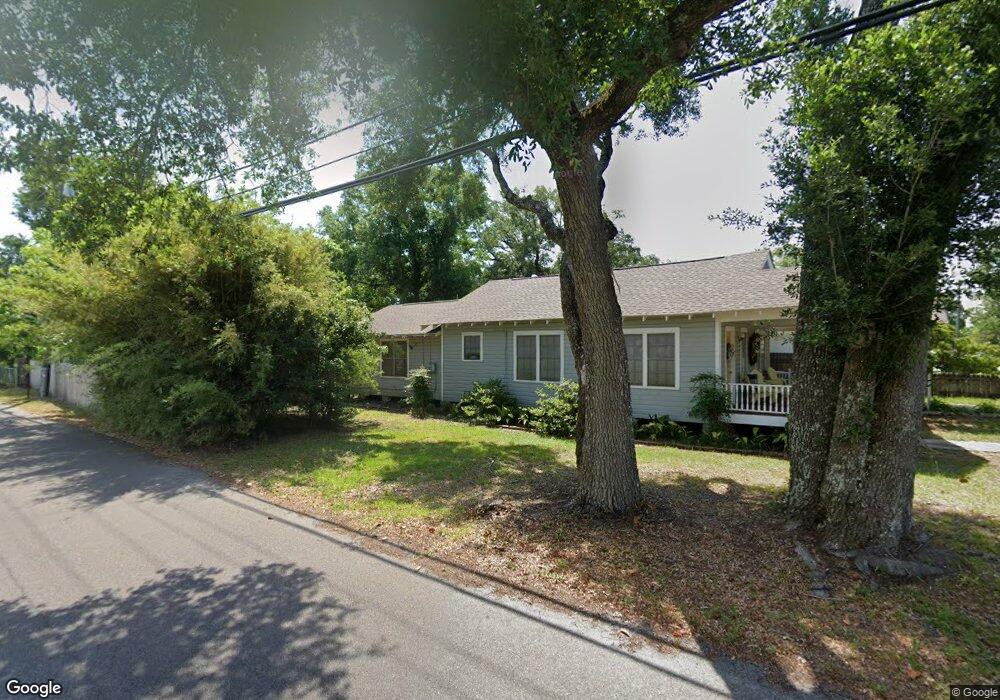
739 Ruth Ave Unit 1 Gulfport, MS 39501
West Beach NeighborhoodEstimated Value: $182,151 - $215,000
3
Beds
2
Baths
1,330
Sq Ft
$151/Sq Ft
Est. Value
About This Home
This home is located at 739 Ruth Ave Unit 1, Gulfport, MS 39501 and is currently estimated at $201,038, approximately $151 per square foot. 739 Ruth Ave Unit 1 is a home located in Harrison County with nearby schools including West Elementary School, Gulfport Central Middle School, and Gulfport High School.
Ownership History
Date
Name
Owned For
Owner Type
Purchase Details
Closed on
Dec 18, 2019
Sold by
Moran Hayden
Bought by
Alderman John and Alderman Carol
Current Estimated Value
Purchase Details
Closed on
Jul 12, 2019
Sold by
Moran Hayden
Bought by
Ruth Ave Llc
Home Financials for this Owner
Home Financials are based on the most recent Mortgage that was taken out on this home.
Original Mortgage
$83,525
Interest Rate
3.82%
Mortgage Type
Commercial
Purchase Details
Closed on
Dec 20, 2018
Sold by
Moran Daniel J
Bought by
Moran Hayden
Create a Home Valuation Report for This Property
The Home Valuation Report is an in-depth analysis detailing your home's value as well as a comparison with similar homes in the area
Home Values in the Area
Average Home Value in this Area
Purchase History
| Date | Buyer | Sale Price | Title Company |
|---|---|---|---|
| Alderman John | -- | None Available | |
| Ruth Ave Llc | -- | Boston National Title | |
| Moran Hayden | -- | -- |
Source: Public Records
Mortgage History
| Date | Status | Borrower | Loan Amount |
|---|---|---|---|
| Previous Owner | Ruth Ave Llc | $83,525 |
Source: Public Records
Tax History Compared to Growth
Tax History
| Year | Tax Paid | Tax Assessment Tax Assessment Total Assessment is a certain percentage of the fair market value that is determined by local assessors to be the total taxable value of land and additions on the property. | Land | Improvement |
|---|---|---|---|---|
| 2024 | $1,576 | $11,944 | $0 | $0 |
| 2023 | $1,616 | $11,944 | $0 | $0 |
| 2022 | $1,307 | $9,661 | $0 | $0 |
| 2021 | $1,307 | $9,661 | $0 | $0 |
| 2020 | $1,154 | $8,530 | $0 | $0 |
| 2019 | $1,154 | $8,530 | $0 | $0 |
| 2018 | $0 | $5,687 | $0 | $0 |
| 2017 | $0 | $5,687 | $0 | $0 |
| 2015 | -- | $5,560 | $0 | $0 |
| 2014 | -- | $5,894 | $0 | $0 |
| 2013 | -- | $5,894 | $1,869 | $4,025 |
Source: Public Records
Map
Nearby Homes
- 1015 Joseph Ave
- 807 Hardy Ave
- 0 Fournier Ave
- 716 Ruth Ave
- 1218 Beach Ave
- 5102 Finley St
- 808 Mills Ave
- 4832 W Beach Blvd
- 4815 Old Pass Rd
- 835 Woodward Ave
- 4700 Old Pass Rd
- 702 Mills Ave
- 4760 Sebring Cir
- 547 Fournier Ave
- 4754 Sebring Cir
- 541 Fournier Ave
- 4748 Sebring Cir
- 828 Woodward Ave
- 535 Fournier Ave
- Nhn Ford Alley