Estimated Value: $699,000
Studio
--
Bath
576
Sq Ft
$1,214/Sq Ft
Est. Value
About This Home
This home is located at 74 Falcon Rd, Acton, ME 04001 and is currently estimated at $699,000, approximately $1,213 per square foot. 74 Falcon Rd is a home with nearby schools including Acton Elementary School.
Ownership History
Date
Name
Owned For
Owner Type
Purchase Details
Closed on
Jan 8, 2018
Sold by
Sandra L Hoyle Ret and Hoyle
Bought by
Toomey Catherine M and Deorocki Susan J
Current Estimated Value
Home Financials for this Owner
Home Financials are based on the most recent Mortgage that was taken out on this home.
Original Mortgage
$208,800
Outstanding Balance
$173,620
Interest Rate
3.92%
Mortgage Type
New Conventional
Estimated Equity
$525,380
Purchase Details
Closed on
Oct 5, 2006
Sold by
Hoyle Sandra L and Hoyle Richard F
Bought by
Sandra L Hoyle Ret and Hoyle
Create a Home Valuation Report for This Property
The Home Valuation Report is an in-depth analysis detailing your home's value as well as a comparison with similar homes in the area
Home Values in the Area
Average Home Value in this Area
Purchase History
| Date | Buyer | Sale Price | Title Company |
|---|---|---|---|
| Toomey Catherine M | $261,000 | -- | |
| Toomey Catherine M | $261,000 | -- | |
| Toomey Catherine M | $261,000 | -- | |
| Sandra L Hoyle Ret | -- | -- | |
| Sandra L Hoyle Ret | -- | -- |
Source: Public Records
Mortgage History
| Date | Status | Borrower | Loan Amount |
|---|---|---|---|
| Open | Toomey Catherine M | $208,800 | |
| Closed | Toomey Catherine M | $208,800 |
Source: Public Records
Tax History
| Year | Tax Paid | Tax Assessment Tax Assessment Total Assessment is a certain percentage of the fair market value that is determined by local assessors to be the total taxable value of land and additions on the property. | Land | Improvement |
|---|---|---|---|---|
| 2025 | $5,272 | $731,199 | $530,250 | $200,949 |
| 2024 | $5,170 | $731,199 | $530,250 | $200,949 |
| 2023 | $4,716 | $731,199 | $530,250 | $200,949 |
| 2022 | $4,125 | $345,215 | $226,250 | $118,965 |
| 2021 | $4,125 | $345,215 | $226,250 | $118,965 |
| 2020 | $4,160 | $345,215 | $226,250 | $118,965 |
| 2019 | $4,160 | $345,215 | $226,250 | $118,965 |
| 2018 | $4,160 | $345,215 | $226,250 | $118,965 |
| 2017 | $4,108 | $345,215 | $226,250 | $118,965 |
| 2016 | $3,884 | $345,215 | $226,250 | $118,965 |
| 2015 | $3,987 | $345,215 | $226,250 | $118,965 |
| 2014 | $3,832 | $345,214 | $226,250 | $118,964 |
Source: Public Records
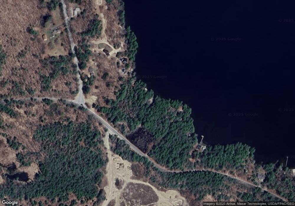
Map
Nearby Homes
- Lot 11 Ridge Way
- Lot 13 Ridge Way
- 2620 Maine 109
- 163 Buzzell Rd
- 271 Red Gate Ln
- TBD Hopper
- 182 Hopper Rd
- 303 Sam Page Rd
- 189 Hopper Rd
- 1498 W Shore Dr
- 224-3-1 Maine 109
- 57 Plantation Way
- 46 Plantation Way
- 177 Hussey Hill Rd
- 450 Sanborn Rd
- Lot 5 St Laurent Way
- 233 Cedar Dr
- 59 Treasure Island Rd
- 14 Elm St
- 155 14th St
- 51 Chickadee Rd
- 52 Chickadee Rd
- 2 Young's Ridge
- 999 Chickadee Rd
- 44 Chickadee Rd
- 2 Youngs Ridge Rd
- 0 Row Off Youngs Ridge Rd
- 000 Youngs Ridge
- 24 Youngs Ridge Rd
- 20 Oriole Rd
- 0 Oriole Rd
- 2906 Route 109
- 2906 Maine 109
- 2896 Route 109
- 11 Oriole Rd Unit 11
- 15 Oriole Rd Unit 15
- 1 Oriole Rd Unit 10
- 14 Oriole Rd Unit 14
- 5 Oriole Rd Unit 5
- 4 Oriole Rd
Your Personal Tour Guide
Ask me questions while you tour the home.