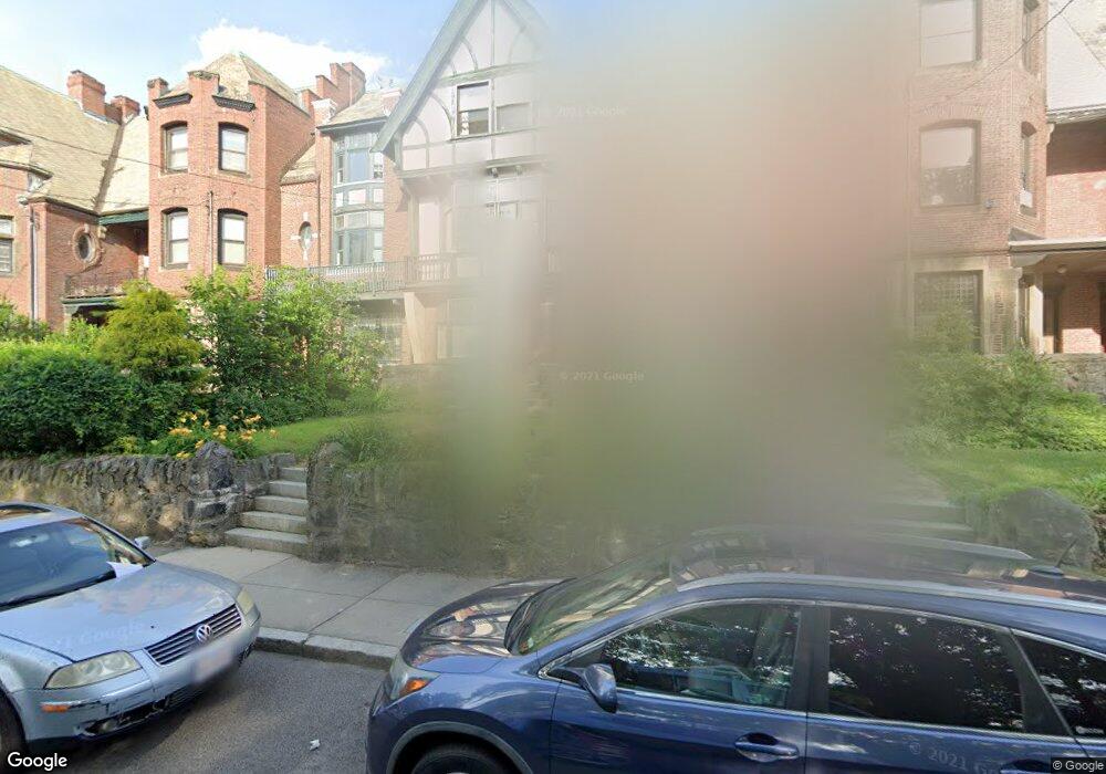
74 Harold St Roxbury, MA 02119
Washington Park NeighborhoodEstimated Value: $788,000 - $1,066,000
4
Beds
2
Baths
3,644
Sq Ft
$255/Sq Ft
Est. Value
About This Home
This home is located at 74 Harold St, Roxbury, MA 02119 and is currently estimated at $928,196, approximately $254 per square foot. 74 Harold St is a home located in Suffolk County with nearby schools including Bridge Boston Charter School and City on a Hill Charter Public School.
Create a Home Valuation Report for This Property
The Home Valuation Report is an in-depth analysis detailing your home's value as well as a comparison with similar homes in the area
Home Values in the Area
Average Home Value in this Area
Tax History Compared to Growth
Tax History
| Year | Tax Paid | Tax Assessment Tax Assessment Total Assessment is a certain percentage of the fair market value that is determined by local assessors to be the total taxable value of land and additions on the property. | Land | Improvement |
|---|---|---|---|---|
| 2025 | $7,713 | $666,100 | $194,800 | $471,300 |
| 2024 | $6,233 | $571,800 | $145,200 | $426,600 |
| 2023 | $6,141 | $571,800 | $145,200 | $426,600 |
| 2022 | $5,816 | $534,600 | $135,800 | $398,800 |
| 2021 | $5,592 | $524,100 | $133,100 | $391,000 |
| 2020 | $4,773 | $452,000 | $122,100 | $329,900 |
| 2019 | $4,450 | $422,200 | $101,400 | $320,800 |
| 2018 | $4,133 | $394,400 | $101,400 | $293,000 |
| 2017 | $4,177 | $394,400 | $101,400 | $293,000 |
| 2016 | $4,133 | $375,700 | $101,400 | $274,300 |
| 2015 | $4,768 | $393,700 | $70,200 | $323,500 |
| 2014 | $4,808 | $382,200 | $70,200 | $312,000 |
Source: Public Records
Map
Nearby Homes
- 151 Townsend St
- 90 Munroe St
- 99 Harrishof St
- 16 Mayfair St
- 8 Brinton St Unit 2
- 28 Wabon St
- 2856 Washington St
- 9 Abbotsford St Unit 1
- 4 Ruthven St
- 4 Wyoming St Unit 2
- 75 Ruthven St
- 94 Walnut Ave
- 495 Warren St
- 476 Warren St
- 7 Waumbeck St Unit 3
- 9-45 Vale St
- 214 Humboldt Ave
- 35-37 Notre Dame St
- 26-28-30 Notre Dame St
- 5 Glenburne St