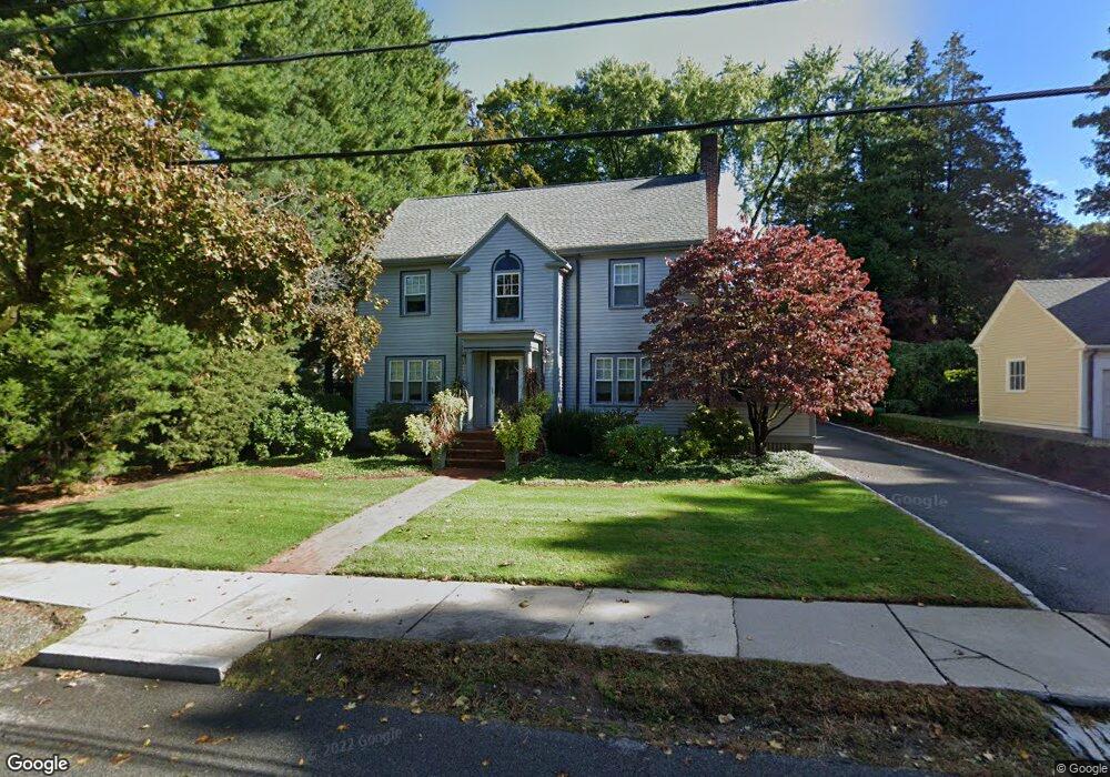
74 Hillside Ave West Newton, MA 02465
West Newton NeighborhoodEstimated Value: $2,063,000 - $2,682,000
4
Beds
4
Baths
3,038
Sq Ft
$780/Sq Ft
Est. Value
About This Home
This home is located at 74 Hillside Ave, West Newton, MA 02465 and is currently estimated at $2,369,637, approximately $779 per square foot. 74 Hillside Ave is a home located in Middlesex County with nearby schools including Peirce Elementary School, F.A. Day Middle School, and Newton North High School.
Ownership History
Date
Name
Owned For
Owner Type
Purchase Details
Closed on
Jan 17, 2012
Sold by
Bass Maryann
Bought by
Maryann Bass 1992 T
Current Estimated Value
Purchase Details
Closed on
Aug 31, 1989
Sold by
74 Hillside Ave Rt
Bought by
Bass Jeffrey
Create a Home Valuation Report for This Property
The Home Valuation Report is an in-depth analysis detailing your home's value as well as a comparison with similar homes in the area
Home Values in the Area
Average Home Value in this Area
Purchase History
| Date | Buyer | Sale Price | Title Company |
|---|---|---|---|
| Maryann Bass 1992 T | -- | -- | |
| Bass Maryann | -- | -- | |
| Bass Jeffrey | $400,000 | -- |
Source: Public Records
Mortgage History
| Date | Status | Borrower | Loan Amount |
|---|---|---|---|
| Previous Owner | Bass Jeffrey | $500,000 | |
| Previous Owner | Bass Jeffrey | $500,000 |
Source: Public Records
Tax History
| Year | Tax Paid | Tax Assessment Tax Assessment Total Assessment is a certain percentage of the fair market value that is determined by local assessors to be the total taxable value of land and additions on the property. | Land | Improvement |
|---|---|---|---|---|
| 2025 | $19,243 | $1,963,600 | $1,179,400 | $784,200 |
| 2024 | $18,606 | $1,906,400 | $1,145,000 | $761,400 |
| 2023 | $17,889 | $1,757,300 | $879,700 | $877,600 |
| 2022 | $17,117 | $1,627,100 | $814,500 | $812,600 |
| 2021 | $16,517 | $1,535,000 | $768,400 | $766,600 |
| 2020 | $16,025 | $1,535,000 | $768,400 | $766,600 |
| 2019 | $15,574 | $1,490,300 | $746,000 | $744,300 |
| 2018 | $15,088 | $1,394,500 | $678,800 | $715,700 |
| 2017 | $14,629 | $1,315,600 | $640,400 | $675,200 |
| 2016 | $13,992 | $1,229,500 | $598,500 | $631,000 |
| 2015 | $13,341 | $1,149,100 | $559,300 | $589,800 |
Source: Public Records
Map
Nearby Homes
- 29 Parsons St
- 26 Sewall St
- 14 Wedgewood Rd
- 40 Sewall St
- 97 Valentine St
- 383 Cherry St Unit 383
- 60 Lindbergh Ave
- 975 Washington Streeet
- 975 Washington St Unit 107
- 401 Albemarle Rd Unit 2
- 6 Elm St Unit 6
- 16 Elm St Unit 16
- 2 Elm St Unit 2
- 27 Tennyson Rd
- 106 River St Unit 18
- 710 Watertown St Unit 710
- 70 Walker St Unit 1
- 8 Elm St Unit 8
- 935 Washington St Unit 8
- 14 Cottage Place Unit 14
- 80 Hillside Ave
- 64 Hillside Ave
- 337 Highland Ave
- 302 Mount Vernon St
- 343 Highland Ave
- 69 Hillside Ave
- 79 Hillside Ave
- 292 Mount Vernon St
- 65 Hillside Ave
- 8 Hosmer Cir
- 5 Hosmer Cir
- 85 Hillside Ave
- 284 Mount Vernon St
- 55 Hillside Ave
- 52 Hillside Ave
- 30 Westfield Rd
- 91 Hillside Ave
- 36 Westfield Rd
- 293 Mount Vernon St
- 24 Westfield Rd
Your Personal Tour Guide
Ask me questions while you tour the home.