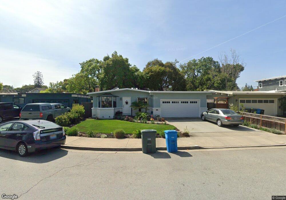
74 Lorelei Ln Menlo Park, CA 94025
Flood Park NeighborhoodEstimated Value: $1,928,000 - $2,115,000
3
Beds
2
Baths
1,120
Sq Ft
$1,804/Sq Ft
Est. Value
About This Home
This home is located at 74 Lorelei Ln, Menlo Park, CA 94025 and is currently estimated at $2,020,660, approximately $1,804 per square foot. 74 Lorelei Ln is a home located in San Mateo County with nearby schools including Encinal Elementary School, Hillview Middle School, and Menlo-Atherton High School.
Ownership History
Date
Name
Owned For
Owner Type
Purchase Details
Closed on
May 19, 2003
Sold by
Noto Joseph M
Bought by
Noto Joseph M and Ahl Jacquelyn
Current Estimated Value
Home Financials for this Owner
Home Financials are based on the most recent Mortgage that was taken out on this home.
Original Mortgage
$190,000
Interest Rate
5.05%
Mortgage Type
Stand Alone First
Create a Home Valuation Report for This Property
The Home Valuation Report is an in-depth analysis detailing your home's value as well as a comparison with similar homes in the area
Home Values in the Area
Average Home Value in this Area
Purchase History
| Date | Buyer | Sale Price | Title Company |
|---|---|---|---|
| Noto Joseph M | -- | Chicago Title Insurance Comp |
Source: Public Records
Mortgage History
| Date | Status | Borrower | Loan Amount |
|---|---|---|---|
| Closed | Noto Joseph M | $190,000 |
Source: Public Records
Tax History
| Year | Tax Paid | Tax Assessment Tax Assessment Total Assessment is a certain percentage of the fair market value that is determined by local assessors to be the total taxable value of land and additions on the property. | Land | Improvement |
|---|---|---|---|---|
| 2025 | $5,776 | $409,368 | $175,698 | $233,670 |
| 2023 | $5,776 | $393,475 | $168,876 | $224,599 |
| 2022 | $6,912 | $385,761 | $165,565 | $220,196 |
| 2021 | $6,596 | $378,199 | $162,319 | $215,880 |
| 2020 | $6,506 | $374,322 | $160,655 | $213,667 |
| 2019 | $6,392 | $366,984 | $157,505 | $209,479 |
| 2018 | $6,199 | $359,790 | $154,417 | $205,373 |
| 2017 | $6,132 | $352,737 | $151,390 | $201,347 |
| 2016 | $5,823 | $345,822 | $148,422 | $197,400 |
| 2015 | $5,715 | $340,629 | $146,193 | $194,436 |
| 2014 | $5,561 | $333,958 | $143,330 | $190,628 |
Source: Public Records
Map
Nearby Homes
- 60 Lorelei Ln
- 1120 17th Ave
- 308 Hedge Rd
- 1064 15th Ave
- 55 Irving Ave
- 3519 Hoover St
- 642 14th Ave
- 1104 Del Norte Ave
- 3499 E Bayshore Rd Unit 112
- 3499 E Bayshore Rd Unit 13
- 3499 E Bayshore Rd Unit 86
- 1010 Ringwood Ave
- 746 6th Ave
- 74 Middlefield Rd
- 212 Oak Grove Ave
- 454 9th Ave
- 1421 Rosemary St
- 3024 Hoover St
- 3015 E Bayshore Rd Unit 169
- 3015 E Bayshore Rd Unit 316
Your Personal Tour Guide
Ask me questions while you tour the home.