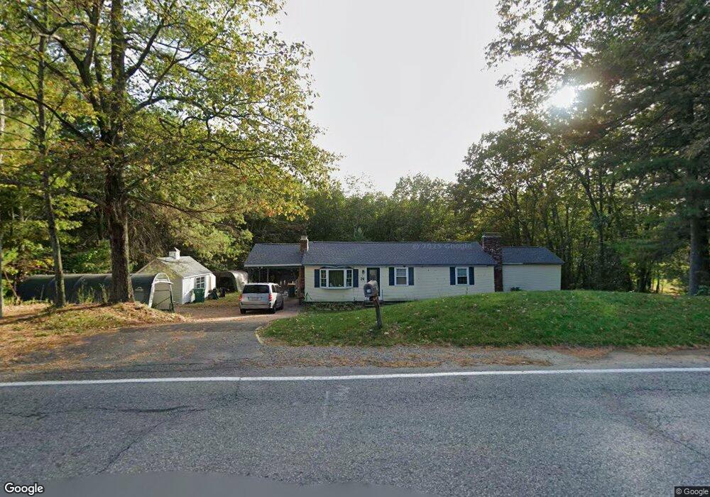
74 S Ashburnham Rd Westminster, MA 01473
Estimated Value: $465,952 - $513,000
3
Beds
2
Baths
1,413
Sq Ft
$349/Sq Ft
Est. Value
About This Home
This home is located at 74 S Ashburnham Rd, Westminster, MA 01473 and is currently estimated at $493,488, approximately $349 per square foot. 74 S Ashburnham Rd is a home located in Worcester County with nearby schools including Oakmont Regional High School.
Ownership History
Date
Name
Owned For
Owner Type
Purchase Details
Closed on
Feb 12, 1979
Bought by
Schilling Paul A and Schilling Sally Ellen R
Current Estimated Value
Create a Home Valuation Report for This Property
The Home Valuation Report is an in-depth analysis detailing your home's value as well as a comparison with similar homes in the area
Home Values in the Area
Average Home Value in this Area
Purchase History
| Date | Buyer | Sale Price | Title Company |
|---|---|---|---|
| Schilling Paul A | $47,900 | -- |
Source: Public Records
Mortgage History
| Date | Status | Borrower | Loan Amount |
|---|---|---|---|
| Open | Schilling Paul A | $125,000 | |
| Closed | Schilling Paul A | $70,000 | |
| Closed | Schilling Paul A | $75,000 |
Source: Public Records
Tax History Compared to Growth
Tax History
| Year | Tax Paid | Tax Assessment Tax Assessment Total Assessment is a certain percentage of the fair market value that is determined by local assessors to be the total taxable value of land and additions on the property. | Land | Improvement |
|---|---|---|---|---|
| 2025 | $4,644 | $377,600 | $130,900 | $246,700 |
| 2024 | $4,460 | $363,800 | $130,900 | $232,900 |
| 2023 | $4,386 | $335,800 | $122,200 | $213,600 |
| 2022 | $4,441 | $281,100 | $106,200 | $174,900 |
| 2021 | $4,358 | $260,000 | $93,000 | $167,000 |
| 2020 | $4,242 | $241,700 | $84,300 | $157,400 |
| 2019 | $4,135 | $226,600 | $69,200 | $157,400 |
| 2018 | $4,016 | $216,500 | $69,200 | $147,300 |
| 2017 | $3,938 | $216,500 | $69,200 | $147,300 |
| 2016 | $3,914 | $208,400 | $57,500 | $150,900 |
| 2015 | $3,765 | $198,700 | $57,500 | $141,200 |
| 2014 | $3,771 | $198,700 | $57,500 | $141,200 |
Source: Public Records
Map
Nearby Homes
- 26 Bathrick Rd
- 16 Old Mill Cir
- 47 Newcomb Rd
- 22 Heritage Ln
- 1317 Westminster St
- 25 Newcomb Rd
- 11 Syd Smith Rd
- 139 Parson Cir
- 0 Syd Smith Rd (Rear)
- 0 Syd Smith Rd (Parcel 71 4 1)
- 51 State Rd E
- 0 Syd Smith Rd Unit 73395578
- 73 N Common Rd
- 15 Cascade St
- 0-1 Bean Porridge Hill Rd
- 87 Roosevelt St
- 204 Roosevelt St
- 169 Narrows Rd
- 2 Old Town Farm Rd
- 82 Narrows Rd
- 70 S Ashburnham Rd
- 78 S Ashburnham Rd
- 66 S Ashburnham Rd
- 1 Woodland Dr
- 1 Woodland Dr
- 81 S Ashburnham Rd
- 4 Woodland Dr
- 62 S Ashburnham Rd
- 61 S Ashburnham Rd
- 80 S Ashburnham Rd
- 84 S Ashburnham Rd
- 3 Woodland Dr
- 10 Woodland Dr
- 85 S Ashburnham Rd
- 11 Woodland Dr
- 88 S Ashburnham Rd
- 88 S Ashburnham Rd
- 12 Woodland Dr
- Lot 6 Rebanna Rd
- Lot 1 Rebanna Rd