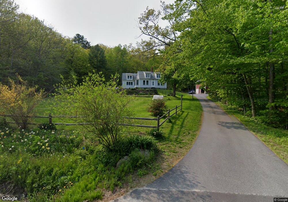
74 S Freeport Rd Freeport, ME 04032
Estimated Value: $802,777 - $1,266,000
4
Beds
2
Baths
2,414
Sq Ft
$434/Sq Ft
Est. Value
About This Home
This home is located at 74 S Freeport Rd, Freeport, ME 04032 and is currently estimated at $1,047,444, approximately $433 per square foot. 74 S Freeport Rd is a home with nearby schools including Morse Street School, Mast Landing School, and Freeport Middle School.
Create a Home Valuation Report for This Property
The Home Valuation Report is an in-depth analysis detailing your home's value as well as a comparison with similar homes in the area
Home Values in the Area
Average Home Value in this Area
Tax History Compared to Growth
Tax History
| Year | Tax Paid | Tax Assessment Tax Assessment Total Assessment is a certain percentage of the fair market value that is determined by local assessors to be the total taxable value of land and additions on the property. | Land | Improvement |
|---|---|---|---|---|
| 2024 | $6,667 | $499,400 | $241,700 | $257,700 |
| 2023 | $6,292 | $457,600 | $232,000 | $225,600 |
| 2022 | $5,942 | $435,300 | $209,700 | $225,600 |
| 2021 | $5,813 | $435,400 | $209,700 | $225,700 |
| 2020 | $5,590 | $399,300 | $194,400 | $204,900 |
| 2019 | $5,347 | $373,900 | $183,300 | $190,600 |
| 2018 | $5,281 | $350,900 | $174,200 | $176,700 |
| 2017 | $5,073 | $339,300 | $170,200 | $169,100 |
| 2016 | $4,835 | $306,000 | $149,100 | $156,900 |
| 2015 | $4,576 | $272,400 | $133,500 | $138,900 |
| 2014 | $4,304 | $272,400 | $133,500 | $138,900 |
| 2013 | $4,609 | $290,800 | $143,100 | $147,700 |
Source: Public Records
Map
Nearby Homes
- 26 Harvest Ridge Rd Unit 24
- 1612 U S Route 1
- 71 Merganser Way
- 31 Sequoia Dr
- 15 Percy St
- 15 Sequoia Dr
- 10 Durham Rd
- 212 Main St
- 11 Orchard Hill Rd
- 42 Durham Rd
- 241 Bluff Rd Unit 4
- 304 Pownal Rd
- 203 Bluff Rd Unit 13
- 393 E Main St
- 20 Blueberry Cove Rd Unit 20
- 52 Blueberry Cove Rd Unit 52
- 62 Blueberry Cove Rd Unit 62
- 149 E Main St Unit 7
- 15 Tinkers Way
- 247 Ledge Rd