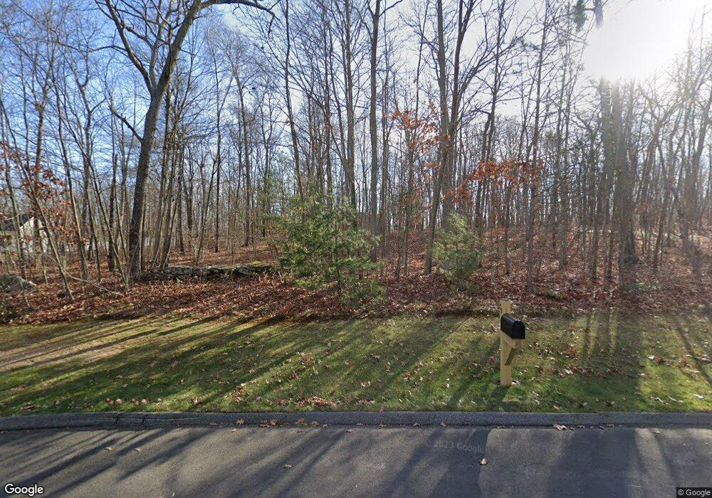
74 Sean Cir Coventry, CT 06238
Estimated Value: $511,000 - $576,349
4
Beds
4
Baths
2,287
Sq Ft
$232/Sq Ft
Est. Value
About This Home
This home is located at 74 Sean Cir, Coventry, CT 06238 and is currently estimated at $531,087, approximately $232 per square foot. 74 Sean Cir is a home located in Tolland County with nearby schools including George Hersey Robertson School, Coventry Grammar School, and Capt. Nathan Hale School.
Create a Home Valuation Report for This Property
The Home Valuation Report is an in-depth analysis detailing your home's value as well as a comparison with similar homes in the area
Home Values in the Area
Average Home Value in this Area
Tax History Compared to Growth
Tax History
| Year | Tax Paid | Tax Assessment Tax Assessment Total Assessment is a certain percentage of the fair market value that is determined by local assessors to be the total taxable value of land and additions on the property. | Land | Improvement |
|---|---|---|---|---|
| 2025 | $8,038 | $338,300 | $80,300 | $258,000 |
| 2024 | $7,228 | $217,000 | $68,400 | $148,600 |
| 2023 | $6,888 | $217,000 | $68,400 | $148,600 |
| 2022 | $6,760 | $217,000 | $68,400 | $148,600 |
| 2021 | $6,760 | $217,000 | $68,400 | $148,600 |
| 2020 | $6,764 | $217,000 | $68,400 | $148,600 |
| 2019 | $6,987 | $217,000 | $68,400 | $148,600 |
| 2018 | $6,723 | $208,800 | $68,400 | $140,400 |
| 2017 | $6,682 | $208,800 | $68,400 | $140,400 |
| 2016 | $6,515 | $208,800 | $68,400 | $140,400 |
| 2015 | $6,515 | $208,800 | $68,400 | $140,400 |
| 2014 | $6,753 | $237,200 | $84,300 | $152,900 |
Source: Public Records
Map
Nearby Homes
- 36 Cooper Ln
- 94 Stonehouse Rd Unit 10
- 1365 Main St
- 262 Cooper Ln
- 59 Woodland Rd
- 122 High St
- 259 High St
- 198 Forest Rd
- 39 Wood Trail
- 35 Birch Trail
- 152 Cheney Ln
- 131 Lakewood Dr
- 31 Wyllys Farm Rd
- 43 Wyllys Farm Rd
- 37 Wyllys Farm Rd
- 0 South St Unit 24134981
- 103 S Street Extension
- 106 S Street Extension
- 329 N Eagleville Rd
- 35 Wyllys Farm Rd
