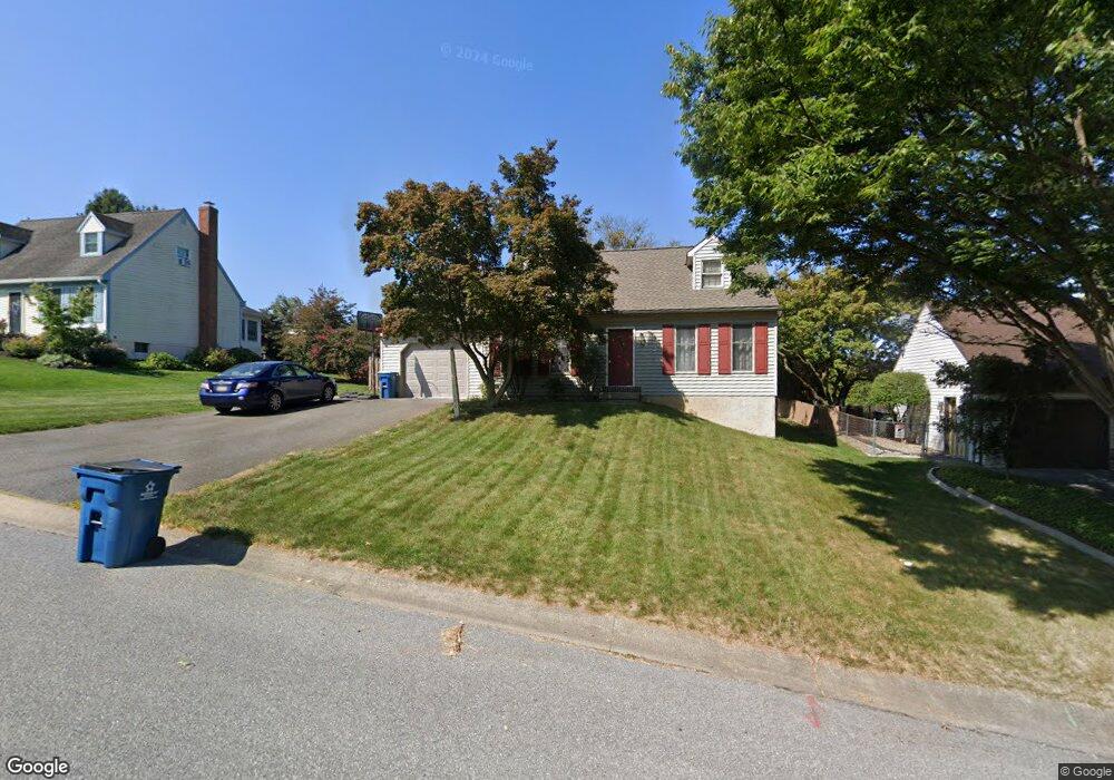
740 Dustin Dr Lancaster, PA 17601
Oyster Point NeighborhoodEstimated Value: $356,000 - $377,000
3
Beds
2
Baths
1,494
Sq Ft
$243/Sq Ft
Est. Value
About This Home
This home is located at 740 Dustin Dr, Lancaster, PA 17601 and is currently estimated at $363,716, approximately $243 per square foot. 740 Dustin Dr is a home located in Lancaster County with nearby schools including Landisville Primary Center, Landisville Middle School, and Hempfield Senior High School.
Ownership History
Date
Name
Owned For
Owner Type
Purchase Details
Closed on
Nov 30, 2001
Sold by
Graham Mark R and Graham Lisa A
Bought by
Bitner James T and Bitner Rachel G
Current Estimated Value
Home Financials for this Owner
Home Financials are based on the most recent Mortgage that was taken out on this home.
Original Mortgage
$123,400
Outstanding Balance
$48,577
Interest Rate
6.67%
Estimated Equity
$315,139
Create a Home Valuation Report for This Property
The Home Valuation Report is an in-depth analysis detailing your home's value as well as a comparison with similar homes in the area
Home Values in the Area
Average Home Value in this Area
Purchase History
| Date | Buyer | Sale Price | Title Company |
|---|---|---|---|
| Bitner James T | $129,900 | First American Title Ins Co |
Source: Public Records
Mortgage History
| Date | Status | Borrower | Loan Amount |
|---|---|---|---|
| Open | Bitner James T | $123,400 |
Source: Public Records
Tax History Compared to Growth
Tax History
| Year | Tax Paid | Tax Assessment Tax Assessment Total Assessment is a certain percentage of the fair market value that is determined by local assessors to be the total taxable value of land and additions on the property. | Land | Improvement |
|---|---|---|---|---|
| 2025 | $3,933 | $174,400 | $61,300 | $113,100 |
| 2024 | $3,933 | $174,400 | $61,300 | $113,100 |
| 2023 | $3,858 | $174,400 | $61,300 | $113,100 |
| 2022 | $3,756 | $174,400 | $61,300 | $113,100 |
| 2021 | $3,681 | $174,400 | $61,300 | $113,100 |
| 2020 | $3,681 | $174,400 | $61,300 | $113,100 |
| 2019 | $3,621 | $174,400 | $61,300 | $113,100 |
| 2018 | $761 | $174,400 | $61,300 | $113,100 |
| 2017 | $3,360 | $130,700 | $36,900 | $93,800 |
| 2016 | $3,294 | $130,700 | $36,900 | $93,800 |
| 2015 | $663 | $130,700 | $36,900 | $93,800 |
| 2014 | $2,419 | $130,700 | $36,900 | $93,800 |
Source: Public Records
Map
Nearby Homes
- 710 Dustin Dr
- 3142 Briarwood Blvd
- 667 Golden Eagle Way
- 1622 Stony Battery Rd
- 849 Aylesbury Dr
- Kipling Plan at Enclave at Independence Ridge
- Woodford Plan at Enclave at Independence Ridge
- Magnolia Plan at Enclave at Independence Ridge
- Sebastian Plan at Enclave at Independence Ridge
- Savannah Plan at Enclave at Independence Ridge
- Parker Plan at Enclave at Independence Ridge
- Nottingham Plan at Enclave at Independence Ridge
- Devonshire Plan at Enclave at Independence Ridge
- Arcadia Plan at Enclave at Independence Ridge
- Augusta Plan at Enclave at Independence Ridge
- Addison Plan at Enclave at Independence Ridge
- Lachlan Plan at Enclave at Independence Ridge
- Ethan Plan at Enclave at Independence Ridge
- Covington Plan at Enclave at Independence Ridge
- Hawthorne Plan at Enclave at Independence Ridge