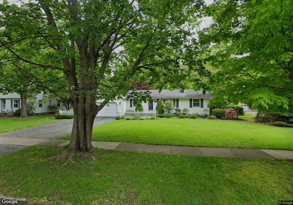
7401 Cadle Ave Mentor, OH 44060
Estimated Value: $313,859 - $400,000
3
Beds
2
Baths
2,036
Sq Ft
$168/Sq Ft
Est. Value
About This Home
This home is located at 7401 Cadle Ave, Mentor, OH 44060 and is currently estimated at $341,215, approximately $167 per square foot. 7401 Cadle Ave is a home located in Lake County with nearby schools including Memorial Middle School, Mentor High School, and St Mary Of The Assumption School.
Ownership History
Date
Name
Owned For
Owner Type
Purchase Details
Closed on
Feb 3, 2006
Sold by
Taylor Robert Anthony and Taylor Ruth Ann
Bought by
Mcneely John A and Vanah Mcneely Lorene M
Current Estimated Value
Home Financials for this Owner
Home Financials are based on the most recent Mortgage that was taken out on this home.
Original Mortgage
$152,000
Outstanding Balance
$84,803
Interest Rate
6.34%
Mortgage Type
Purchase Money Mortgage
Estimated Equity
$256,412
Purchase Details
Closed on
Nov 9, 1999
Sold by
Taylor Ruth Ann and Taylor Robert Anthony
Bought by
Taylor Robert Anthony and Taylor Ruth Ann
Purchase Details
Closed on
May 28, 1999
Sold by
Egensperger David A and Shirley Lisa A
Bought by
Taylor Ruth A
Purchase Details
Closed on
Aug 31, 1990
Bought by
Egensperger David A
Create a Home Valuation Report for This Property
The Home Valuation Report is an in-depth analysis detailing your home's value as well as a comparison with similar homes in the area
Home Values in the Area
Average Home Value in this Area
Purchase History
| Date | Buyer | Sale Price | Title Company |
|---|---|---|---|
| Mcneely John A | $224,000 | None Available | |
| Taylor Robert Anthony | -- | -- | |
| Taylor Ruth A | $181,200 | Chicago Title Insurance Co | |
| Egensperger David A | $108,000 | -- |
Source: Public Records
Mortgage History
| Date | Status | Borrower | Loan Amount |
|---|---|---|---|
| Open | Mcneely John A | $152,000 |
Source: Public Records
Tax History
| Year | Tax Paid | Tax Assessment Tax Assessment Total Assessment is a certain percentage of the fair market value that is determined by local assessors to be the total taxable value of land and additions on the property. | Land | Improvement |
|---|---|---|---|---|
| 2025 | -- | $103,230 | $25,410 | $77,820 |
| 2024 | -- | $103,230 | $25,410 | $77,820 |
| 2023 | $3,514 | $74,820 | $20,990 | $53,830 |
| 2022 | $3,536 | $74,820 | $20,990 | $53,830 |
| 2021 | $3,532 | $74,820 | $20,990 | $53,830 |
| 2020 | $3,420 | $63,410 | $17,790 | $45,620 |
| 2019 | $3,424 | $63,410 | $17,790 | $45,620 |
| 2018 | $3,426 | $73,640 | $26,830 | $46,810 |
| 2017 | $4,161 | $73,640 | $26,830 | $46,810 |
| 2016 | $4,133 | $73,640 | $26,830 | $46,810 |
| 2015 | $3,689 | $73,640 | $26,830 | $46,810 |
| 2014 | $3,744 | $73,640 | $26,830 | $46,810 |
| 2013 | $3,747 | $73,640 | $26,830 | $46,810 |
Source: Public Records
Map
Nearby Homes
- 7432 Presley Ave
- 8331 Nowlen St
- 7285 Center St
- 8078 Mentor Ave
- 8195 Manor Gate Way
- 7224 Burridge Ave
- 7970 Mentor Ave Unit N7
- 8796 Evergreen Dr Unit 8794
- 8803 Evergreen Dr
- 10 Meadowlawn Dr Unit 13
- 15 Meadowlawn Dr Unit 9
- 6857 Beacon Dr Unit 63-B
- 8011 Colonial Dr Unit C
- 7981 Carriage Cir Unit B
- 8140 Independence Dr Unit B
- 7987 Carriage Cir
- 7654 Ohio St
- 7772 Barnaby Ln
- 7412 Hopkins Rd
- 8933 Mountain View Dr
Your Personal Tour Guide
Ask me questions while you tour the home.