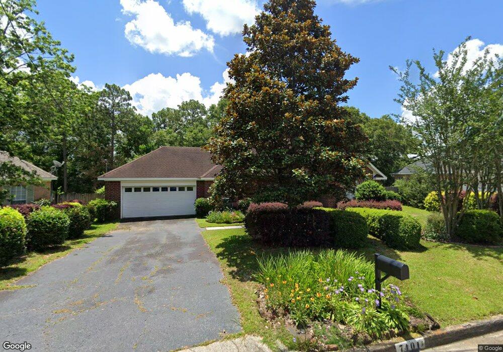
7401 Portside Cir S Mobile, AL 36695
Sheldon NeighborhoodEstimated Value: $229,974 - $263,000
3
Beds
2
Baths
1,815
Sq Ft
$137/Sq Ft
Est. Value
About This Home
This home is located at 7401 Portside Cir S, Mobile, AL 36695 and is currently estimated at $249,244, approximately $137 per square foot. 7401 Portside Cir S is a home located in Mobile County with nearby schools including ER Dickson Elementary School, Bernice J Causey Middle School, and Baker High School.
Ownership History
Date
Name
Owned For
Owner Type
Purchase Details
Closed on
Jul 16, 2003
Sold by
Contractors Material Co Inc
Bought by
Coe Elwin F and Coe Floreen M
Current Estimated Value
Home Financials for this Owner
Home Financials are based on the most recent Mortgage that was taken out on this home.
Original Mortgage
$12,600
Outstanding Balance
$5,321
Interest Rate
5.17%
Mortgage Type
Credit Line Revolving
Estimated Equity
$243,923
Create a Home Valuation Report for This Property
The Home Valuation Report is an in-depth analysis detailing your home's value as well as a comparison with similar homes in the area
Home Values in the Area
Average Home Value in this Area
Purchase History
| Date | Buyer | Sale Price | Title Company |
|---|---|---|---|
| Coe Elwin F | $126,000 | -- |
Source: Public Records
Mortgage History
| Date | Status | Borrower | Loan Amount |
|---|---|---|---|
| Open | Coe Elwin F | $12,600 | |
| Open | Coe Elwin F | $100,800 |
Source: Public Records
Tax History Compared to Growth
Tax History
| Year | Tax Paid | Tax Assessment Tax Assessment Total Assessment is a certain percentage of the fair market value that is determined by local assessors to be the total taxable value of land and additions on the property. | Land | Improvement |
|---|---|---|---|---|
| 2024 | $752 | $17,750 | $3,200 | $14,550 |
| 2023 | $715 | $15,230 | $3,600 | $11,630 |
| 2022 | $522 | $13,400 | $3,000 | $10,400 |
| 2021 | $522 | $13,400 | $3,000 | $10,400 |
| 2020 | $534 | $13,700 | $3,000 | $10,700 |
| 2019 | $525 | $13,470 | $3,000 | $10,470 |
| 2018 | $538 | $13,780 | $0 | $0 |
| 2017 | $579 | $14,760 | $0 | $0 |
| 2016 | $616 | $15,640 | $0 | $0 |
| 2013 | $508 | $12,980 | $0 | $0 |
Source: Public Records
Map
Nearby Homes
- 390 Lakeview Dr W
- 404 Lakeview Dr W
- 230 Portside Cir W
- 422 Cody Rd S
- 660 Spring Lake Ct
- 7354 Willow Pointe Dr N
- 726 Willow Springs Dr
- 715 Red Willow Ct
- 730 Pine Run Rd
- 22 Stonebridge Ct
- 7056 Stonebridge Ct
- 12 Stonebridge Ct
- 0 1st St
- 0 1st St Unit 7617566
- 7183 Pine Barren Ct
- 6905 Providence Estates Dr W
- 6905 Providence Estate Dr N
- 0 2nd St Unit 7500313
- 0 2nd St Unit 7500310
- 25 Breydon Ct
- 7391 Portside Cir S
- 7411 Portside Cir S
- 7381 Portside Cir S
- 7421 Portside Cir S
- 7370 Lakeview Dr E
- 7350 Lakeview Dr E
- 7390 Portside Cir S
- 7380 Lakeview Dr E
- 7380 Portside Cir S
- 7371 Portside Cir S
- 7431 Portside Cir S
- 7340 Lakeview Dr E
- 7400 Portside Cir S
- 7390 Lakeview Dr E
- 7370 Portside Cir S
- 305 Portside Blvd
- 7330 Lakeview Dr E
- 7441 Portside Cir S
- 7361 Portside Cir S
- 7400 Lakeview Dr E