7410 W Coal Mine Ave Unit F Littleton, CO 80123
Columbine West NeighborhoodEstimated Value: $524,000 - $547,056
3
Beds
5
Baths
2,011
Sq Ft
$265/Sq Ft
Est. Value
About This Home
This home is located at 7410 W Coal Mine Ave Unit F, Littleton, CO 80123 and is currently estimated at $532,764, approximately $264 per square foot. 7410 W Coal Mine Ave Unit F is a home located in Jefferson County with nearby schools including Dutch Creek Elementary School, Ken Caryl Middle School, and Columbine High School.
Ownership History
Date
Name
Owned For
Owner Type
Purchase Details
Closed on
Apr 28, 2022
Sold by
Leasau Andrew L and Leasau Shannon
Bought by
Palacio Orlando Cuavas
Current Estimated Value
Home Financials for this Owner
Home Financials are based on the most recent Mortgage that was taken out on this home.
Original Mortgage
$510,700
Outstanding Balance
$480,076
Interest Rate
4.16%
Mortgage Type
New Conventional
Estimated Equity
$52,688
Purchase Details
Closed on
Sep 11, 2019
Sold by
7410 West Coal Mine Avenue Unit F Res Tr
Bought by
Leasau Andrew L
Home Financials for this Owner
Home Financials are based on the most recent Mortgage that was taken out on this home.
Original Mortgage
$374,300
Interest Rate
3.6%
Mortgage Type
New Conventional
Purchase Details
Closed on
May 9, 2019
Sold by
York Cheryl and Curtis Jessica A
Bought by
7410 W Coal Mine Ave F Residential Trust
Purchase Details
Closed on
Apr 3, 2017
Sold by
York Cheryl L and Rhoads Devon F
Bought by
Curtis Jessica A
Purchase Details
Closed on
Aug 27, 2014
Sold by
Sharum Jennifer J and Sharum Hunter C
Bought by
York Cheryl L and Rhoads Devon F
Purchase Details
Closed on
Sep 26, 2008
Sold by
Diederich Shannon M
Bought by
Sharum Hunter C and Sharum Jennifer J
Home Financials for this Owner
Home Financials are based on the most recent Mortgage that was taken out on this home.
Original Mortgage
$219,897
Interest Rate
6.46%
Mortgage Type
FHA
Purchase Details
Closed on
Oct 28, 2005
Sold by
Thompson John Andrew and Thompson Gloria Norma
Bought by
Diederich Shannon M
Home Financials for this Owner
Home Financials are based on the most recent Mortgage that was taken out on this home.
Original Mortgage
$191,760
Interest Rate
5.75%
Mortgage Type
Fannie Mae Freddie Mac
Purchase Details
Closed on
Sep 18, 1998
Sold by
Lee Mitchell Ronald and Mitchell Janice K
Bought by
Thompson John Andrew and Thompson Gloria Norma
Home Financials for this Owner
Home Financials are based on the most recent Mortgage that was taken out on this home.
Original Mortgage
$150,955
Interest Rate
6.91%
Purchase Details
Closed on
Aug 31, 1994
Sold by
Vision Homes Inc
Bought by
Mitchell Ronald Lee and Mitchell Janice K
Home Financials for this Owner
Home Financials are based on the most recent Mortgage that was taken out on this home.
Original Mortgage
$108,450
Interest Rate
8.46%
Create a Home Valuation Report for This Property
The Home Valuation Report is an in-depth analysis detailing your home's value as well as a comparison with similar homes in the area
Home Values in the Area
Average Home Value in this Area
Purchase History
| Date | Buyer | Sale Price | Title Company |
|---|---|---|---|
| Palacio Orlando Cuavas | -- | -- | |
| Leasau Andrew L | $394,000 | Tiago National Title Llc | |
| Leasau Andrew L | -- | Tiago National Title Llc | |
| 7410 W Coal Mine Ave F Residential Trust | $292,500 | Homestead Title & Escrow | |
| Curtis Jessica A | -- | None Available | |
| York Cheryl L | $245,000 | Land Title Guarantee Company | |
| Sharum Hunter C | $223,900 | Fidelity National Title Insu | |
| Diederich Shannon M | $204,000 | Chicago Title Co | |
| Thompson John Andrew | $158,900 | North American Title Co | |
| Mitchell Ronald Lee | $135,574 | -- |
Source: Public Records
Mortgage History
| Date | Status | Borrower | Loan Amount |
|---|---|---|---|
| Open | Palacio Orlando Cuavas | $510,700 | |
| Previous Owner | Leasau Andrew L | $374,300 | |
| Previous Owner | Sharum Hunter C | $219,897 | |
| Previous Owner | Diederich Shannon M | $191,760 | |
| Previous Owner | Thompson John Andrew | $150,955 | |
| Previous Owner | Mitchell Ronald Lee | $108,450 |
Source: Public Records
Tax History Compared to Growth
Tax History
| Year | Tax Paid | Tax Assessment Tax Assessment Total Assessment is a certain percentage of the fair market value that is determined by local assessors to be the total taxable value of land and additions on the property. | Land | Improvement |
|---|---|---|---|---|
| 2024 | $3,343 | $33,131 | $6,030 | $27,101 |
| 2023 | $3,343 | $33,131 | $6,030 | $27,101 |
| 2022 | $2,881 | $28,023 | $4,170 | $23,853 |
| 2021 | $2,924 | $28,829 | $4,290 | $24,539 |
| 2020 | $2,496 | $24,684 | $4,290 | $20,394 |
| 2019 | $2,465 | $24,684 | $4,290 | $20,394 |
| 2018 | $2,193 | $21,316 | $3,600 | $17,716 |
| 2017 | $1,983 | $21,316 | $3,600 | $17,716 |
| 2016 | $1,867 | $19,406 | $3,184 | $16,222 |
| 2015 | $1,482 | $19,406 | $3,184 | $16,222 |
| 2014 | $1,482 | $14,495 | $2,229 | $12,266 |
Source: Public Records
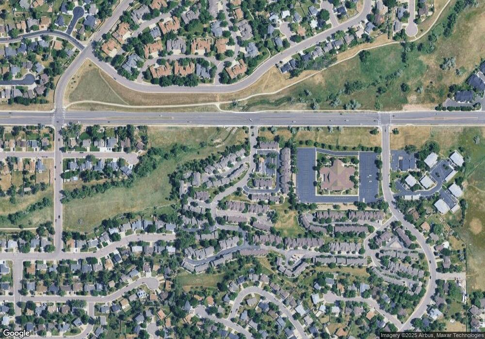
Map
Nearby Homes
- 6809 S Webster St Unit E
- 6837 S Webster St Unit C
- 6664 S Webster St
- 6942 S Webster Way
- 6819 S Webster St Unit B
- 7633 W Euclid Dr
- 7762 W Ottawa Place
- 6895 S Webster St
- 6585 S Webster St
- 7795 W Ottawa Dr
- 6834 S Webster St
- 6566 S Yukon Way
- 7020 W Portland Ave Unit 7020
- 7836 W Walker Dr
- 7158 W Roxbury Ave
- 7231 S Webster St
- 7529 W Frost Dr
- 8242 W Portland Ave
- 6953 W Roxbury Place
- 6392 S Newland Ct
- 7410 W Coal Mine Ave Unit H
- 7410 W Coal Mine Ave Unit G
- 7410 W Coal Mine Ave Unit E
- 7410 W Coal Mine Ave Unit D
- 7410 W Coal Mine Ave Unit C
- 7410 W Coal Mine Ave Unit B
- 7410 W Coal Mine Ave Unit A
- 7400 W Coal Mine Ave Unit H
- 7400 W Coal Mine Ave Unit G
- 7400 W Coal Mine Ave Unit F
- 7400 W Coal Mine Ave Unit E
- 7400 W Coal Mine Ave Unit D
- 7400 W Coal Mine Ave Unit C
- 7400 W Coal Mine Ave Unit B
- 7400 W Coal Mine Ave Unit A
- 7400 W Coal Mine Ave
- 7490 W Coal Mine Ave Unit C
- 7490 W Coal Mine Ave Unit B
- 7490 W Coal Mine Ave Unit A
- 7470 W Coal Mine Ave Unit B