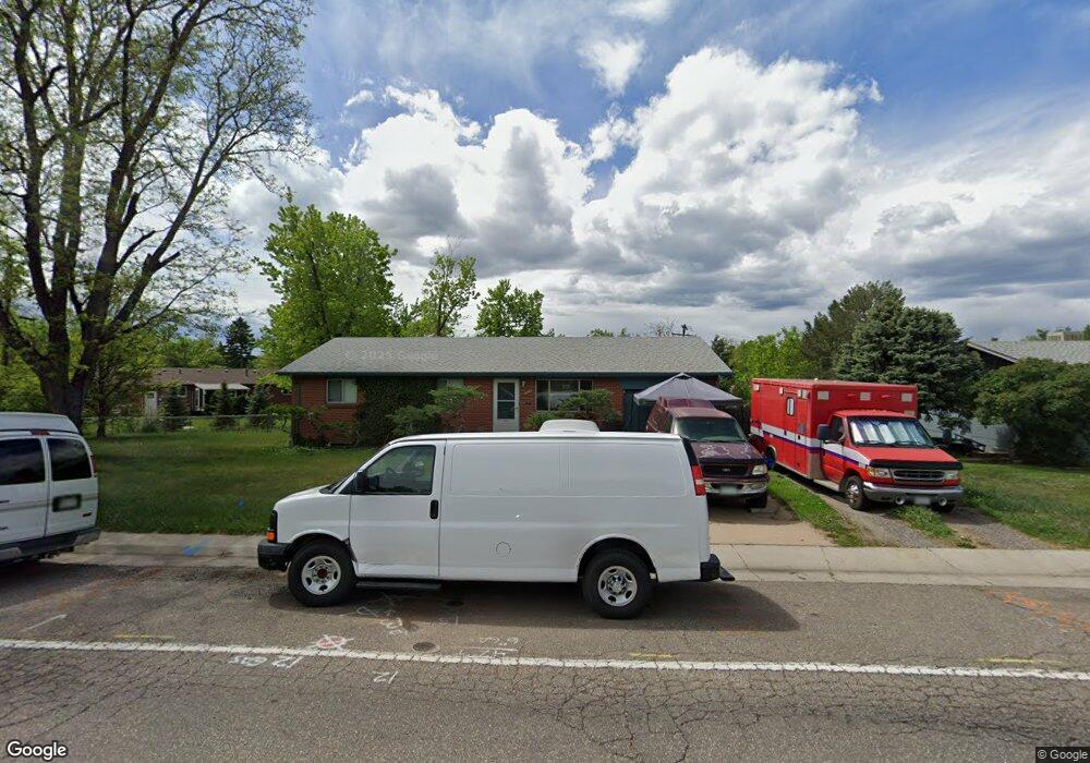
742 W Euclid Ave Littleton, CO 80120
Ketring Park NeighborhoodEstimated Value: $536,000 - $584,000
--
Bed
2
Baths
1,092
Sq Ft
$512/Sq Ft
Est. Value
About This Home
This home is located at 742 W Euclid Ave, Littleton, CO 80120 and is currently estimated at $559,552, approximately $512 per square foot. 742 W Euclid Ave is a home located in Arapahoe County with nearby schools including Euclid Middle School, Heritage High School, and St Mary Catholic School Littleton.
Ownership History
Date
Name
Owned For
Owner Type
Purchase Details
Closed on
Nov 29, 2012
Sold by
Levinsky Jane Francis and Estate Of Neva Lee Oldefest
Bought by
Oldefest John W
Current Estimated Value
Purchase Details
Closed on
Jul 4, 1776
Bought by
Conversion Arapco
Create a Home Valuation Report for This Property
The Home Valuation Report is an in-depth analysis detailing your home's value as well as a comparison with similar homes in the area
Home Values in the Area
Average Home Value in this Area
Purchase History
| Date | Buyer | Sale Price | Title Company |
|---|---|---|---|
| Oldefest John W | -- | None Available | |
| Conversion Arapco | -- | -- |
Source: Public Records
Tax History Compared to Growth
Tax History
| Year | Tax Paid | Tax Assessment Tax Assessment Total Assessment is a certain percentage of the fair market value that is determined by local assessors to be the total taxable value of land and additions on the property. | Land | Improvement |
|---|---|---|---|---|
| 2024 | $3,278 | $34,277 | -- | -- |
| 2023 | $3,278 | $34,277 | $0 | $0 |
| 2022 | $2,916 | $28,717 | $0 | $0 |
| 2021 | $2,908 | $28,717 | $0 | $0 |
| 2020 | $2,631 | $26,741 | $0 | $0 |
| 2019 | $2,475 | $26,741 | $0 | $0 |
| 2018 | $1,940 | $22,277 | $0 | $0 |
| 2017 | $1,798 | $22,277 | $0 | $0 |
| 2016 | $1,429 | $17,018 | $0 | $0 |
| 2015 | $1,433 | $17,018 | $0 | $0 |
| 2014 | -- | $13,421 | $0 | $0 |
| 2013 | -- | $15,050 | $0 | $0 |
Source: Public Records
Map
Nearby Homes
- 6689 S Delaware St
- 6483 S Elati St
- 6616 S Apache Dr
- 50 E Highline Cir Unit 102
- 1300 W Caley Ave
- 6511 S Cedar St
- 100 E Highline Cir Unit 105
- 6928 S Broadway
- 140 E Highline Cir Unit 105
- 6188 S Westview St
- 190 E Highline Cir Unit 302
- 280 E Highline Cir Unit 101
- 6582 S Sherman St
- 7019 S Windermere St
- 707 W Easter Ave
- 6532 S Sherman St
- 6512 S Sherman St
- 236 E Fair Ln
- 2002 W Ridge Rd
- 7248 S Broadway
- 772 W Euclid Ave
- 6637 S Arapahoe Dr
- 6647 S Arapahoe Dr
- 6617 S Arapahoe Dr
- 743 W Sterne Pkwy
- 782 W Euclid Ave
- 6667 S Arapahoe Dr
- 783 W Sterne Pkwy
- 792 W Euclid Ave
- 6638 S Arapahoe Dr
- 6648 S Arapahoe Dr
- 6628 S Arapahoe Dr
- 6658 S Arapahoe Dr
- 6618 S Arapahoe Dr
- 6668 S Arapahoe Dr
- 662 W Euclid Ave
- 724 W Sterne Pkwy
- 6659 S Delaware St
- 6669 S Delaware St
- 6649 S Delaware St