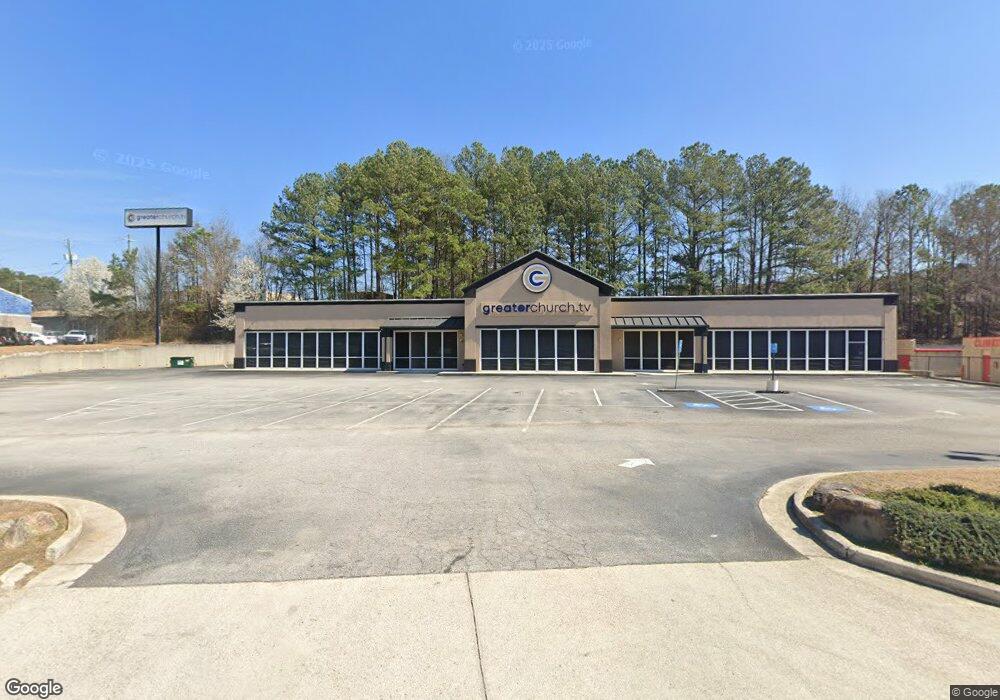
7420 Davidson Cir E Stockbridge, GA 30281
Estimated Value: $987,960
--
Bed
--
Bath
9,120
Sq Ft
$108/Sq Ft
Est. Value
About This Home
This home is located at 7420 Davidson Cir E, Stockbridge, GA 30281 and is currently estimated at $987,960, approximately $108 per square foot. 7420 Davidson Cir E is a home located in Clayton County with nearby schools including Mt. Zion Primary School, Mount Zion Elementary School, and Rex Mill Middle School.
Ownership History
Date
Name
Owned For
Owner Type
Purchase Details
Closed on
May 27, 2022
Sold by
James O Mangum Inc
Bought by
Greater Deliverance Church
Current Estimated Value
Home Financials for this Owner
Home Financials are based on the most recent Mortgage that was taken out on this home.
Original Mortgage
$800,000
Outstanding Balance
$668,367
Interest Rate
4.4%
Mortgage Type
Mortgage Modification
Estimated Equity
$319,593
Purchase Details
Closed on
Jul 1, 1999
Sold by
Davidson Everett H
Bought by
James Q Mangum Inc
Create a Home Valuation Report for This Property
The Home Valuation Report is an in-depth analysis detailing your home's value as well as a comparison with similar homes in the area
Home Values in the Area
Average Home Value in this Area
Purchase History
| Date | Buyer | Sale Price | Title Company |
|---|---|---|---|
| Greater Deliverance Church | $1,000,000 | -- | |
| James Q Mangum Inc | -- | -- |
Source: Public Records
Mortgage History
| Date | Status | Borrower | Loan Amount |
|---|---|---|---|
| Open | Greater Deliverance Church | $800,000 |
Source: Public Records
Tax History Compared to Growth
Tax History
| Year | Tax Paid | Tax Assessment Tax Assessment Total Assessment is a certain percentage of the fair market value that is determined by local assessors to be the total taxable value of land and additions on the property. | Land | Improvement |
|---|---|---|---|---|
| 2024 | $18,214 | $488,240 | $124,600 | $363,640 |
| 2023 | $29,039 | $493,120 | $124,600 | $368,520 |
| 2022 | $9,309 | $237,200 | $124,600 | $112,600 |
| 2021 | $16,866 | $427,040 | $124,600 | $302,440 |
| 2020 | $13,041 | $383,600 | $124,600 | $259,000 |
| 2019 | $7,632 | $188,000 | $124,600 | $63,400 |
| 2018 | $7,632 | $188,000 | $124,600 | $63,400 |
| 2017 | $7,650 | $355,800 | $124,600 | $231,200 |
| 2016 | $7,650 | $188,000 | $124,600 | $63,400 |
| 2015 | $7,521 | $0 | $0 | $0 |
| 2014 | $12,238 | $362,000 | $124,600 | $237,400 |
Source: Public Records
Map
Nearby Homes
- 0 Hwy 138 Unit 7635399
- 0 Hwy 138 Unit 13974666
- 0 Hwy 138 Unit 10587482
- 157 Black Forest Trail
- 0 Daniel Dr Unit 10628491
- 164 Adrian Dr
- 246 Old Atlanta Rd
- 677 Armitage Way
- 5005 Kens Ct
- 3465 Narrow Creek Ct
- 3460 Mount Zion Rd
- 172 Willow Springs Ln
- 1120 Northern Run
- 3413 Mount Zion Rd
- 3413 Mount Zion Rd Unit 51
- 7442 Pine Brook Rd
- 173 Brush Creek Ct
- 425 Cannonball Ct
- 193 Brush Creek Ct
- 197 Brush Creek Ct
- 0 Davidson Cir E
- 7404 Davidson Cir E Unit 316
- 7404 Davidson Cir E Unit 251
- 7404 Davidson Cir E Unit 255
- 0 Davidson Pkwy S Unit 7472134
- 0 Davidson Pkwy S Unit 7291322
- 0 Davidson Pkwy S Unit 7144835
- 0 Davidson Pkwy S Unit 2365635
- 0 Davidson Pkwy S Unit 8335812
- 155 Spivey Chase Trail
- 181 Daniel Dr
- 169 Daniel Dr
- 110 Highway 138 W
- 72 Georgia 138
- 72 Highway 138 W
- 157 Daniel Dr
- 7495 Davidson Pkwy S
- 147 Daniel Dr
- 101 Daniel Dr
- 89 Daniel Dr