7420 W Coal Mine Ave Unit C Littleton, CO 80123
Columbine West NeighborhoodEstimated Value: $438,000 - $484,000
2
Beds
3
Baths
1,439
Sq Ft
$317/Sq Ft
Est. Value
About This Home
This home is located at 7420 W Coal Mine Ave Unit C, Littleton, CO 80123 and is currently estimated at $456,854, approximately $317 per square foot. 7420 W Coal Mine Ave Unit C is a home located in Jefferson County with nearby schools including Dutch Creek Elementary School, Ken Caryl Middle School, and Columbine High School.
Ownership History
Date
Name
Owned For
Owner Type
Purchase Details
Closed on
Mar 9, 2012
Sold by
Wagner Cody D
Bought by
Wagner Cody D and Wagner Lisa A
Current Estimated Value
Purchase Details
Closed on
Dec 19, 2008
Sold by
Wagner Cody D and Wagner Albert
Bought by
Wagner Cody D
Purchase Details
Closed on
Sep 6, 2002
Sold by
Cendant Mobility Financial Services
Bought by
Wagner Cody D and Wagner Albert
Home Financials for this Owner
Home Financials are based on the most recent Mortgage that was taken out on this home.
Original Mortgage
$173,755
Outstanding Balance
$71,311
Interest Rate
6%
Estimated Equity
$385,543
Purchase Details
Closed on
Sep 29, 1998
Sold by
Barfield Ray E and Barfield Aileen E
Bought by
Panuska Keith B and Panuska Charles
Home Financials for this Owner
Home Financials are based on the most recent Mortgage that was taken out on this home.
Original Mortgage
$127,531
Interest Rate
6.92%
Mortgage Type
FHA
Create a Home Valuation Report for This Property
The Home Valuation Report is an in-depth analysis detailing your home's value as well as a comparison with similar homes in the area
Home Values in the Area
Average Home Value in this Area
Purchase History
| Date | Buyer | Sale Price | Title Company |
|---|---|---|---|
| Wagner Cody D | -- | None Available | |
| Wagner Cody D | -- | First American Title Ins Co | |
| Wagner Cody D | $182,900 | -- | |
| Cendant Mobility Financial Corp | -- | -- | |
| Panuska Keith B | $132,000 | -- |
Source: Public Records
Mortgage History
| Date | Status | Borrower | Loan Amount |
|---|---|---|---|
| Open | Wagner Cody D | $173,755 | |
| Previous Owner | Panuska Keith B | $127,531 |
Source: Public Records
Tax History Compared to Growth
Tax History
| Year | Tax Paid | Tax Assessment Tax Assessment Total Assessment is a certain percentage of the fair market value that is determined by local assessors to be the total taxable value of land and additions on the property. | Land | Improvement |
|---|---|---|---|---|
| 2024 | $2,412 | $23,903 | $6,030 | $17,873 |
| 2023 | $2,412 | $23,903 | $6,030 | $17,873 |
| 2022 | $2,481 | $24,133 | $4,170 | $19,963 |
| 2021 | $2,518 | $24,827 | $4,290 | $20,537 |
| 2020 | $2,417 | $23,908 | $4,290 | $19,618 |
| 2019 | $2,388 | $23,908 | $4,290 | $19,618 |
| 2018 | $2,179 | $21,187 | $3,600 | $17,587 |
| 2017 | $1,971 | $21,187 | $3,600 | $17,587 |
| 2016 | $1,755 | $18,244 | $3,184 | $15,060 |
| 2015 | $1,487 | $18,244 | $3,184 | $15,060 |
| 2014 | $1,487 | $14,543 | $2,229 | $12,314 |
Source: Public Records
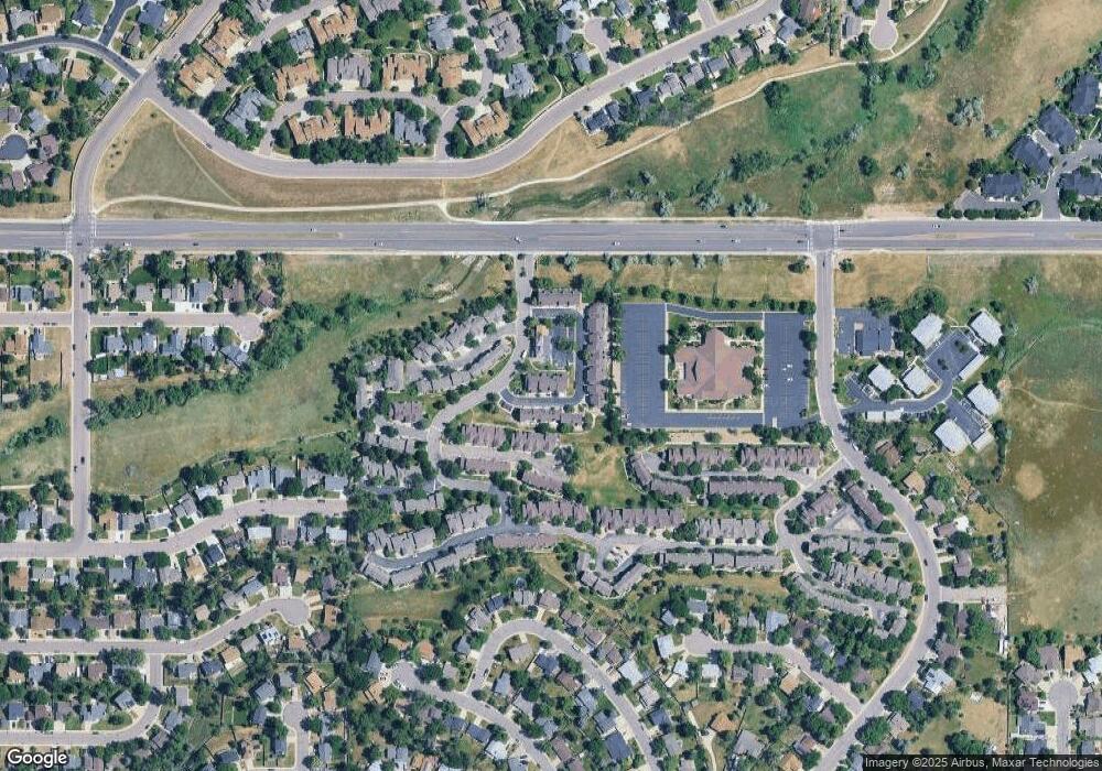
Map
Nearby Homes
- 6809 S Webster St Unit E
- 6815 S Webster St Unit F
- 6837 S Webster St Unit C
- 6664 S Webster St
- 6819 S Webster St Unit B
- 6942 S Webster Way
- 6895 S Webster St
- 6834 S Webster St
- 7633 W Euclid Dr
- 6585 S Webster St
- 7762 W Ottawa Place
- 6566 S Yukon Way
- 7795 W Ottawa Dr
- 7020 W Portland Ave Unit 7020
- 7836 W Walker Dr
- 7158 W Roxbury Ave
- 7231 S Webster St
- 7529 W Frost Dr
- 6953 W Roxbury Place
- 8242 W Portland Ave
- 7420 W Coal Mine Ave Unit D
- 7420 W Coal Mine Ave Unit B
- 7420 W Coal Mine Ave Unit A
- 7420 W Coal Mine Ave
- 7430 W Coal Mine Ave Unit C
- 7430 W Coal Mine Ave Unit B
- 7430 W Coal Mine Ave Unit A
- 7460 W Coal Mine Ave Unit F
- 7460 W Coal Mine Ave Unit E
- 7460 W Coal Mine Ave Unit D
- 7460 W Coal Mine Ave Unit C
- 7460 W Coal Mine Ave Unit B
- 7460 W Coal Mine Ave Unit A
- 7460 W Coal Mine Ave
- 7500 W Coal Mine Ave Unit H
- 7500 W Coal Mine Ave Unit G
- 7500 W Coal Mine Ave Unit F
- 7500 W Coal Mine Ave Unit E
- 7500 W Coal Mine Ave Unit D
- 7500 W Coal Mine Ave Unit C