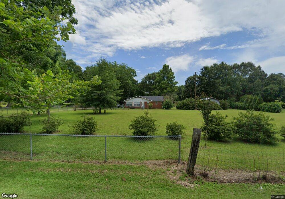
7428 Cemetary Rd Moss Point, MS 39562
Estimated Value: $216,000 - $264,000
Studio
2
Baths
1,805
Sq Ft
$130/Sq Ft
Est. Value
About This Home
This home is located at 7428 Cemetary Rd, Moss Point, MS 39562 and is currently estimated at $235,493, approximately $130 per square foot. 7428 Cemetary Rd is a home located in Jackson County with nearby schools including East Central Lower Elementary School, East Central Upper Elementary School, and East Central Middle School.
Ownership History
Date
Name
Owned For
Owner Type
Purchase Details
Closed on
Mar 29, 2017
Sold by
Malone Coleman Angela C and Malone Riley Belinda E
Bought by
Walding Ira M and Walding Sharon M
Current Estimated Value
Home Financials for this Owner
Home Financials are based on the most recent Mortgage that was taken out on this home.
Original Mortgage
$120,400
Outstanding Balance
$42,259
Interest Rate
4.19%
Mortgage Type
Purchase Money Mortgage
Estimated Equity
$193,234
Create a Home Valuation Report for This Property
The Home Valuation Report is an in-depth analysis detailing your home's value as well as a comparison with similar homes in the area
Purchase History
| Date | Buyer | Sale Price | Title Company |
|---|---|---|---|
| Walding Ira M | -- | Island Winds Title Co Llc |
Source: Public Records
Mortgage History
| Date | Status | Borrower | Loan Amount |
|---|---|---|---|
| Open | Walding Ira M | $120,400 |
Source: Public Records
Tax History
| Year | Tax Paid | Tax Assessment Tax Assessment Total Assessment is a certain percentage of the fair market value that is determined by local assessors to be the total taxable value of land and additions on the property. | Land | Improvement |
|---|---|---|---|---|
| 2025 | $1,009 | $12,711 | $1,271 | $11,440 |
| 2024 | $1,009 | $10,667 | $1,237 | $9,430 |
| 2023 | $1,019 | $10,667 | $1,237 | $9,430 |
| 2022 | $990 | $9,741 | $0 | $0 |
| 2021 | $990 | $9,741 | $9,741 | $0 |
| 2020 | $1,026 | $9,741 | $1,145 | $8,596 |
| 2019 | $1,015 | $9,741 | $1,145 | $8,596 |
| 2018 | $1,034 | $9,741 | $1,145 | $8,596 |
| 2017 | $986 | $9,211 | $1,145 | $8,066 |
| 2016 | $1,644 | $13,817 | $1,718 | $12,099 |
| 2015 | $1,523 | $84,890 | $11,450 | $73,440 |
| 2014 | $1,496 | $12,734 | $1,718 | $11,016 |
| 2013 | $1,446 | $12,734 | $1,718 | $11,016 |
Source: Public Records
Map
Nearby Homes
- 0 R B Dickerson Rd
- 26.1 Acres Brinkman Rd E
- 7201 Bentwood Dr
- 17500 Goff Farm Rd
- 0 Grafe Homestead Rd Unit 4137349
- 01 Dap Rd E
- 0 Ms-613 Hwy Unit 4116583
- 0 Ms-613 Hwy Unit 4107607
- 0 Ms-613 Hwy Unit 4107612
- 0 Ms-613 Hwy Unit 4116582
- -0- Rayford Shumock Rd
- 0 Dap Rd E
- 17920 Rayford Shumock Rd
- 0 Rayford Shumock Rd Unit 24406728
- 0 Rayford Shumock Rd Unit 4121875
- 17952 Rayford Shumock Rd
- 7805 Songbird Ln
- 8201 Pecan Ridge Dr
- 14004 Ann Rd
- 14015 Lily Orchard Rd
- 7404 Cemetary Rd
- 7416 Townsite Rd
- 7412 Townsite Rd
- 7409 Cemetary Rd
- 7528 Methodist Church Rd
- 7530 Methodist Church Rd
- 7519 Cemetary Rd
- 7516 Townsite Rd
- 7405 Townsite Rd
- 7405 Townsite Rd
- 7525 Cemetary Rd
- 7535 Methodist Church Rd
- 7425 Townsite Rd
- 0 Townsite
- 7317 Townsite Rd
- 16829 Highway 613
- 7521 Townsite Rd
- 7604 Methodist Church Rd
- 7231 Cemetary Rd
- 7231 Cemetery Rd
Your Personal Tour Guide
Ask me questions while you tour the home.