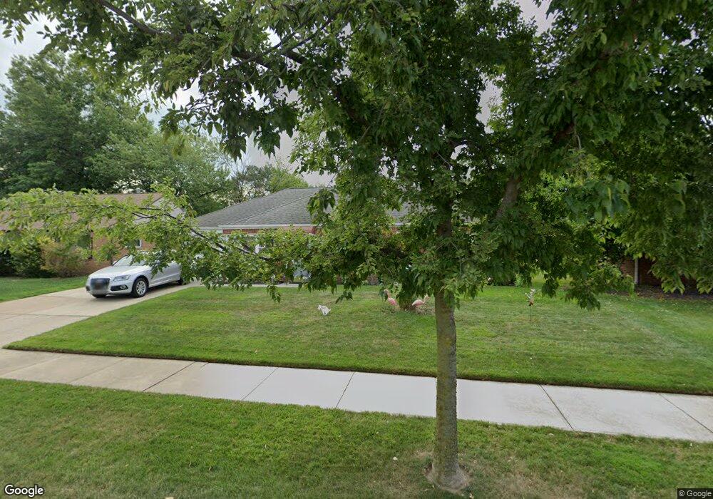
743 Walnut Dr Euclid, OH 44132
Estimated Value: $145,109 - $172,000
3
Beds
1
Bath
1,401
Sq Ft
$113/Sq Ft
Est. Value
About This Home
This home is located at 743 Walnut Dr, Euclid, OH 44132 and is currently estimated at $158,027, approximately $112 per square foot. 743 Walnut Dr is a home located in Cuyahoga County with nearby schools including Shoreview Elementary School, Euclid High School, and Mater Dei Academy.
Ownership History
Date
Name
Owned For
Owner Type
Purchase Details
Closed on
Apr 23, 2014
Sold by
Slalom Properties Llc
Bought by
Rach Properties Llc
Current Estimated Value
Purchase Details
Closed on
Oct 6, 2010
Sold by
Grcar Joseph and Grear Mary
Bought by
Slalom Properties Llc
Purchase Details
Closed on
Mar 12, 2010
Sold by
Estate Of Thomas Casey and Spitz James E
Bought by
Grear Joseph
Purchase Details
Closed on
May 21, 2009
Sold by
Estate Of Catherine Agnes Casey
Bought by
Leskiewicz Arrilla Casey and Casey Thomas
Purchase Details
Closed on
Jul 3, 1990
Sold by
Casey Catherine A
Bought by
Casey Catherine A
Purchase Details
Closed on
Jan 9, 1990
Sold by
Casey Joseph M and Casey Catherine A
Bought by
Casey Catherine A
Purchase Details
Closed on
Jan 1, 1975
Bought by
Casey Joseph M and Casey Catherine A
Create a Home Valuation Report for This Property
The Home Valuation Report is an in-depth analysis detailing your home's value as well as a comparison with similar homes in the area
Home Values in the Area
Average Home Value in this Area
Purchase History
| Date | Buyer | Sale Price | Title Company |
|---|---|---|---|
| Rach Properties Llc | -- | Enterprise Title Agency | |
| Slalom Properties Llc | -- | Enterprise Title Agency | |
| Grear Joseph | $30,000 | Attorney | |
| Leskiewicz Arrilla Casey | -- | Attorney | |
| Casey Catherine A | -- | -- | |
| Casey Catherine A | -- | -- | |
| Casey Joseph M | -- | -- |
Source: Public Records
Tax History
| Year | Tax Paid | Tax Assessment Tax Assessment Total Assessment is a certain percentage of the fair market value that is determined by local assessors to be the total taxable value of land and additions on the property. | Land | Improvement |
|---|---|---|---|---|
| 2024 | $3,462 | $49,490 | $9,450 | $40,040 |
| 2023 | $3,286 | $37,490 | $8,370 | $29,120 |
| 2022 | $3,212 | $37,490 | $8,370 | $29,120 |
| 2021 | $3,578 | $37,490 | $8,370 | $29,120 |
| 2020 | $3,002 | $28,390 | $6,340 | $22,050 |
| 2019 | $2,705 | $81,100 | $18,100 | $63,000 |
| 2018 | $2,698 | $28,390 | $6,340 | $22,050 |
| 2017 | $2,884 | $25,030 | $5,040 | $19,990 |
| 2016 | $2,890 | $25,030 | $5,040 | $19,990 |
| 2015 | $2,635 | $25,030 | $5,040 | $19,990 |
| 2014 | $2,635 | $25,030 | $5,040 | $19,990 |
Source: Public Records
Map
Nearby Homes
- 815 E 272nd St
- 730 Hemlock Dr
- 670 Hemlock Dr
- 27190 Zeman Ave
- 597 Hemlock Dr
- 591 Hemlock Dr
- 26430 Drakefield Ave
- 26931 Shoreview Ave
- 27125 Mallard Ave
- 26831 Shoreview Ave
- 610 E 266th St
- 26351 Farringdon Ave
- 643 E 261st St
- 1354 Craneing Rd
- 579 E 260th St
- 571 E 260th St
- 27430 Forestview Ave
- 440 E 271st St
- 27701 Mills Ave Unit 2G
- 25751 Briardale Ave
Your Personal Tour Guide
Ask me questions while you tour the home.