7430 W Coal Mine Ave Unit B Littleton, CO 80123
Columbine West NeighborhoodEstimated Value: $440,700 - $484,000
2
Beds
3
Baths
1,906
Sq Ft
$240/Sq Ft
Est. Value
About This Home
This home is located at 7430 W Coal Mine Ave Unit B, Littleton, CO 80123 and is currently estimated at $457,675, approximately $240 per square foot. 7430 W Coal Mine Ave Unit B is a home located in Jefferson County with nearby schools including Dutch Creek Elementary School, Ken Caryl Middle School, and Columbine High School.
Ownership History
Date
Name
Owned For
Owner Type
Purchase Details
Closed on
Sep 12, 2017
Sold by
Lupo Matthew
Bought by
Yeagley Kirsten
Current Estimated Value
Home Financials for this Owner
Home Financials are based on the most recent Mortgage that was taken out on this home.
Original Mortgage
$100,000
Outstanding Balance
$83,574
Interest Rate
3.93%
Mortgage Type
New Conventional
Estimated Equity
$374,101
Purchase Details
Closed on
Mar 5, 2012
Sold by
Federal Home Loan Mortgage Corporation
Bought by
Lupo Matthew
Home Financials for this Owner
Home Financials are based on the most recent Mortgage that was taken out on this home.
Original Mortgage
$146,197
Interest Rate
3.5%
Mortgage Type
FHA
Purchase Details
Closed on
Jan 9, 2012
Sold by
Wells Fargo Bank N A
Bought by
Federal Home Loan Mortgage Corporation
Home Financials for this Owner
Home Financials are based on the most recent Mortgage that was taken out on this home.
Original Mortgage
$146,197
Interest Rate
3.5%
Mortgage Type
FHA
Purchase Details
Closed on
Nov 10, 2011
Sold by
Baird Vernon E and Baird Valeta A
Bought by
Wells Fargo Bank Na
Purchase Details
Closed on
May 5, 2004
Sold by
Albers David Paul
Bought by
Baird Vernon E and Baird Valeta A
Home Financials for this Owner
Home Financials are based on the most recent Mortgage that was taken out on this home.
Original Mortgage
$38,000
Interest Rate
5.81%
Mortgage Type
Stand Alone Second
Purchase Details
Closed on
Jul 2, 2001
Sold by
Durbin James E
Bought by
Albers David Paul
Home Financials for this Owner
Home Financials are based on the most recent Mortgage that was taken out on this home.
Original Mortgage
$146,400
Interest Rate
7.16%
Purchase Details
Closed on
Jun 30, 1999
Sold by
Purchio Donald J
Bought by
Durbin James E
Home Financials for this Owner
Home Financials are based on the most recent Mortgage that was taken out on this home.
Original Mortgage
$106,000
Interest Rate
7.21%
Mortgage Type
Balloon
Purchase Details
Closed on
Aug 30, 1996
Sold by
Johnson Thelma O Spackman
Bought by
Purchio Donald J
Home Financials for this Owner
Home Financials are based on the most recent Mortgage that was taken out on this home.
Original Mortgage
$95,400
Interest Rate
8.24%
Create a Home Valuation Report for This Property
The Home Valuation Report is an in-depth analysis detailing your home's value as well as a comparison with similar homes in the area
Home Values in the Area
Average Home Value in this Area
Purchase History
| Date | Buyer | Sale Price | Title Company |
|---|---|---|---|
| Yeagley Kirsten | $290,000 | Homestead Title | |
| Lupo Matthew | $150,000 | Servicelink | |
| Federal Home Loan Mortgage Corporation | -- | None Available | |
| Wells Fargo Bank Na | -- | None Available | |
| Baird Vernon E | $190,000 | Gt | |
| Albers David Paul | $183,000 | North American Title Co | |
| Durbin James E | $150,000 | -- | |
| Purchio Donald J | $119,350 | First American Heritage Titl |
Source: Public Records
Mortgage History
| Date | Status | Borrower | Loan Amount |
|---|---|---|---|
| Open | Yeagley Kirsten | $100,000 | |
| Previous Owner | Lupo Matthew | $146,197 | |
| Previous Owner | Baird Vernon E | $38,000 | |
| Previous Owner | Baird Vernon E | $152,000 | |
| Previous Owner | Albers David Paul | $146,400 | |
| Previous Owner | Durbin James E | $106,000 | |
| Previous Owner | Purchio Donald J | $95,400 |
Source: Public Records
Tax History Compared to Growth
Tax History
| Year | Tax Paid | Tax Assessment Tax Assessment Total Assessment is a certain percentage of the fair market value that is determined by local assessors to be the total taxable value of land and additions on the property. | Land | Improvement |
|---|---|---|---|---|
| 2024 | $2,412 | $23,903 | $6,030 | $17,873 |
| 2023 | $2,412 | $23,903 | $6,030 | $17,873 |
| 2022 | $2,481 | $24,133 | $4,170 | $19,963 |
| 2021 | $2,518 | $24,827 | $4,290 | $20,537 |
| 2020 | $2,417 | $23,908 | $4,290 | $19,618 |
| 2019 | $2,388 | $23,908 | $4,290 | $19,618 |
| 2018 | $2,179 | $21,187 | $3,600 | $17,587 |
| 2017 | $1,971 | $21,187 | $3,600 | $17,587 |
| 2016 | $1,762 | $18,316 | $3,184 | $15,132 |
| 2015 | $1,781 | $18,316 | $3,184 | $15,132 |
| 2014 | $1,495 | $14,623 | $2,229 | $12,394 |
Source: Public Records
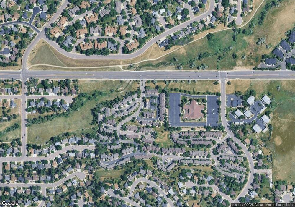
Map
Nearby Homes
- 6809 S Webster St Unit E
- 6815 S Webster St Unit F
- 6837 S Webster St Unit C
- 6664 S Webster St
- 6819 S Webster St Unit B
- 6942 S Webster Way
- 6895 S Webster St
- 6834 S Webster St
- 7633 W Euclid Dr
- 6585 S Webster St
- 7762 W Ottawa Place
- 6566 S Yukon Way
- 7795 W Ottawa Dr
- 7020 W Portland Ave Unit 7020
- 7836 W Walker Dr
- 7158 W Roxbury Ave
- 7231 S Webster St
- 7529 W Frost Dr
- 6953 W Roxbury Place
- 8242 W Portland Ave
- 7430 W Coal Mine Ave Unit C
- 7430 W Coal Mine Ave Unit A
- 7420 W Coal Mine Ave Unit D
- 7420 W Coal Mine Ave Unit C
- 7420 W Coal Mine Ave Unit B
- 7420 W Coal Mine Ave Unit A
- 7420 W Coal Mine Ave
- 7440 W Coal Mine Ave Unit A
- 7440 W Coal Mine Ave Unit B
- 7440 W Coal Mine Ave Unit C
- 7440 W Coal Mine Ave Unit D
- 7460 W Coal Mine Ave Unit F
- 7460 W Coal Mine Ave Unit E
- 7460 W Coal Mine Ave Unit D
- 7460 W Coal Mine Ave Unit C
- 7460 W Coal Mine Ave Unit B
- 7460 W Coal Mine Ave Unit A
- 7460 W Coal Mine Ave
- 7450 W Coal Mine Ave Unit J
- 7450 W Coal Mine Ave Unit I