7440 W Coal Mine Ave Unit B Littleton, CO 80123
Columbine West NeighborhoodEstimated Value: $450,000 - $478,000
2
Beds
3
Baths
1,906
Sq Ft
$244/Sq Ft
Est. Value
About This Home
This home is located at 7440 W Coal Mine Ave Unit B, Littleton, CO 80123 and is currently estimated at $464,463, approximately $243 per square foot. 7440 W Coal Mine Ave Unit B is a home located in Jefferson County with nearby schools including Dutch Creek Elementary School, Ken Caryl Middle School, and Columbine High School.
Ownership History
Date
Name
Owned For
Owner Type
Purchase Details
Closed on
Aug 15, 2019
Sold by
Falke Suzanne M
Bought by
Suzanne Falke Living Trust
Current Estimated Value
Purchase Details
Closed on
Sep 30, 1994
Sold by
Tapia Paul R and Candelaria Paul R
Bought by
Falke Suzanne M
Purchase Details
Closed on
Sep 23, 1994
Sold by
Frickey Veronice
Bought by
Tapia Paul R and Candelaria Paul R
Create a Home Valuation Report for This Property
The Home Valuation Report is an in-depth analysis detailing your home's value as well as a comparison with similar homes in the area
Home Values in the Area
Average Home Value in this Area
Purchase History
| Date | Buyer | Sale Price | Title Company |
|---|---|---|---|
| Suzanne Falke Living Trust | -- | None Available | |
| Falke Suzanne M | $117,000 | Title America | |
| Tapia Paul R | -- | Title America |
Source: Public Records
Tax History Compared to Growth
Tax History
| Year | Tax Paid | Tax Assessment Tax Assessment Total Assessment is a certain percentage of the fair market value that is determined by local assessors to be the total taxable value of land and additions on the property. | Land | Improvement |
|---|---|---|---|---|
| 2024 | $2,678 | $26,537 | $6,030 | $20,507 |
| 2023 | $2,678 | $26,537 | $6,030 | $20,507 |
| 2022 | $1,598 | $22,496 | $4,170 | $18,326 |
| 2021 | $1,622 | $23,143 | $4,290 | $18,853 |
| 2020 | $1,480 | $21,789 | $4,290 | $17,499 |
| 2019 | $1,462 | $21,789 | $4,290 | $17,499 |
| 2018 | $1,325 | $20,084 | $3,600 | $16,484 |
| 2017 | $1,198 | $20,084 | $3,600 | $16,484 |
| 2016 | $1,684 | $17,512 | $3,184 | $14,328 |
| 2015 | $1,438 | $17,512 | $3,184 | $14,328 |
| 2014 | $1,438 | $14,066 | $2,229 | $11,837 |
Source: Public Records
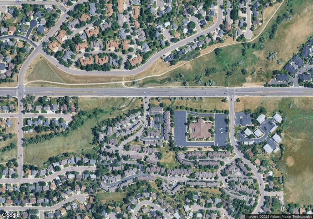
Map
Nearby Homes
- 6664 S Webster St
- 6809 S Webster St Unit E
- 6815 S Webster St Unit F
- 6837 S Webster St Unit C
- 7633 W Euclid Dr
- 6585 S Webster St
- 6819 S Webster St Unit B
- 6566 S Yukon Way
- 6556 S Yukon Way
- 6834 S Webster St
- 6942 S Webster Way
- 6895 S Webster St
- 7762 W Ottawa Place
- 7836 W Walker Dr
- 7795 W Ottawa Dr
- 7196 W Portland Ave Unit 7196
- 7020 W Portland Ave Unit 7020
- 7158 W Roxbury Ave
- 6392 S Newland Ct
- 7231 S Webster St
- 7440 W Coal Mine Ave Unit A
- 7440 W Coal Mine Ave Unit C
- 7440 W Coal Mine Ave Unit D
- 7450 W Coal Mine Ave Unit J
- 7450 W Coal Mine Ave Unit I
- 7450 W Coal Mine Ave Unit H
- 7450 W Coal Mine Ave Unit G
- 7450 W Coal Mine Ave Unit F
- 7450 W Coal Mine Ave Unit E
- 7450 W Coal Mine Ave Unit D
- 7450 W Coal Mine Ave Unit C
- 7450 W Coal Mine Ave Unit B
- 7450 W Coal Mine Ave
- 7430 W Coal Mine Ave Unit C
- 7430 W Coal Mine Ave Unit B
- 7430 W Coal Mine Ave Unit A
- 7420 W Coal Mine Ave Unit D
- 7420 W Coal Mine Ave Unit C
- 7420 W Coal Mine Ave Unit B
- 7420 W Coal Mine Ave Unit A