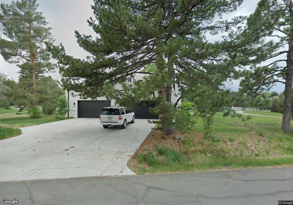
745 Front Range Rd Littleton, CO 80120
Heritage NeighborhoodEstimated Value: $1,265,000 - $3,389,000
3
Beds
4
Baths
4,636
Sq Ft
$537/Sq Ft
Est. Value
About This Home
This home is located at 745 Front Range Rd, Littleton, CO 80120 and is currently estimated at $2,490,096, approximately $537 per square foot. 745 Front Range Rd is a home located in Arapahoe County with nearby schools including Runyon Elementary School, Euclid Middle School, and Heritage High School.
Ownership History
Date
Name
Owned For
Owner Type
Purchase Details
Closed on
Sep 29, 2017
Sold by
Wick Donnis E and Estate Of Albert M Wick
Bought by
Frank Jeffrey Howard
Current Estimated Value
Purchase Details
Closed on
Jan 26, 2017
Sold by
The Albert M Wick & Donnis E Wick Living
Bought by
Wick Albert M
Purchase Details
Closed on
Aug 4, 2014
Sold by
Wick Albert M and Wick Donnis E
Bought by
The Albert M Wick & Donnis E Wick Living
Home Financials for this Owner
Home Financials are based on the most recent Mortgage that was taken out on this home.
Original Mortgage
$472,000
Interest Rate
4.17%
Mortgage Type
New Conventional
Purchase Details
Closed on
Jun 26, 2013
Sold by
Wick Albert M and Wick Donnis E
Bought by
Wick Albert M and Wick Donnis E
Home Financials for this Owner
Home Financials are based on the most recent Mortgage that was taken out on this home.
Original Mortgage
$401,500
Interest Rate
3.83%
Mortgage Type
New Conventional
Purchase Details
Closed on
May 14, 2010
Sold by
Wick Albert M and Wick Donnis E
Bought by
The Albert M Wick & Donnis E Wick Living
Purchase Details
Closed on
Apr 23, 2010
Sold by
The Albert M Wick & Donnis E Wick Living
Bought by
Wick Albert M and Wick Donnis E
Purchase Details
Closed on
Mar 10, 2004
Sold by
Wick Albert M and Wick Donnis E
Bought by
Albert M & Donnis E Wick Living Trust
Purchase Details
Closed on
Jul 4, 1776
Bought by
Conversion Arapco
Create a Home Valuation Report for This Property
The Home Valuation Report is an in-depth analysis detailing your home's value as well as a comparison with similar homes in the area
Home Values in the Area
Average Home Value in this Area
Purchase History
| Date | Buyer | Sale Price | Title Company |
|---|---|---|---|
| Frank Jeffrey Howard | $891,380 | Land Title Guarantee Co | |
| Wick Albert M | -- | None Available | |
| The Albert M Wick & Donnis E Wick Living | -- | Title Source Inc | |
| Wick Albert M | -- | Title Source Inc | |
| Wick Albert M | -- | Title Source | |
| Wick Albert M | -- | Title Source | |
| The Albert M Wick & Donnis E Wick Living | -- | None Available | |
| Wick Albert M | -- | None Available | |
| Albert M & Donnis E Wick Living Trust | -- | -- | |
| Conversion Arapco | -- | -- |
Source: Public Records
Mortgage History
| Date | Status | Borrower | Loan Amount |
|---|---|---|---|
| Previous Owner | Wick Albert M | $472,000 | |
| Previous Owner | Wick Albert M | $401,500 |
Source: Public Records
Tax History
| Year | Tax Paid | Tax Assessment Tax Assessment Total Assessment is a certain percentage of the fair market value that is determined by local assessors to be the total taxable value of land and additions on the property. | Land | Improvement |
|---|---|---|---|---|
| 2025 | $20,841 | $209,525 | -- | -- |
| 2024 | $19,489 | $203,814 | -- | -- |
| 2023 | $19,489 | $203,814 | $0 | $0 |
| 2022 | $14,761 | $145,395 | $0 | $0 |
| 2021 | $7,379 | $145,395 | $0 | $0 |
| 2020 | $6,766 | $68,762 | $0 | $0 |
| 2019 | $6,365 | $68,762 | $0 | $0 |
| 2018 | $6,928 | $79,546 | $0 | $0 |
| 2017 | $6,419 | $79,546 | $0 | $0 |
| 2016 | $6,204 | $81,821 | $0 | $0 |
| 2015 | $6,219 | $81,821 | $0 | $0 |
| 2014 | -- | $68,058 | $0 | $0 |
| 2013 | -- | $66,470 | $0 | $0 |
Source: Public Records
Map
Nearby Homes
- 7019 S Windermere St
- 7252 S Costilla St
- 7604 S Datura Cir W
- 2002 W Ridge Rd
- 2805 W Davies Dr
- 6710 S Foresthill St
- 6521 S Cedar St
- 6852 S Greenwood St
- 7132 S Bryant St Unit 232
- 7132 S Bryant St Unit 231
- 6483 S Sycamore St
- 1148 W Hinsdale Dr
- 7265 S Sundown Cir
- 7120 S Clay St
- 7290 S Sundown Cir
- 7475 S Houstoun Waring Cir
- 2480 W Jamison Way
- 805 W Peakview Cir
- 6689 S Delaware St
- 6273 S Prescott St
- 705 Front Range Rd
- 721 Front Range Rd
- 739 Front Range Rd
- 730 Front Range Rd
- 715 Front Range Rd
- 655 Front Range Rd
- 555 Front Range Rd
- 713 Front Range Rd
- 1906 W Davies Ave
- 1896 W Davies Ave
- 1946 W Davies Ave
- 605 Front Range Rd
- 803 Front Range Rd
- 1976 W Davies Ave
- 1886 W Davies Ave
- 645 Front Range Rd
- 680 Front Range Rd
- 2006 W Davies Ave
- 810 Front Range Rd
- 706 Front Range Rd
Your Personal Tour Guide
Ask me questions while you tour the home.