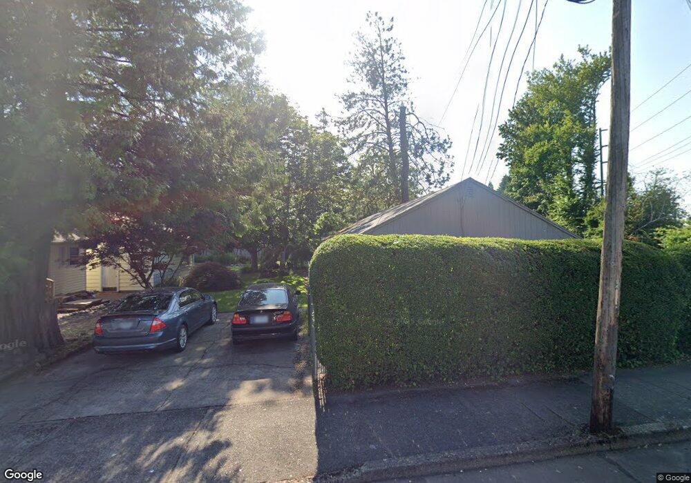
745 NE Roberts Ave Unit 747 Gresham, OR 97030
Downtown Gresham NeighborhoodEstimated Value: $414,000 - $488,000
2
Beds
2
Baths
1,378
Sq Ft
$321/Sq Ft
Est. Value
About This Home
This home is located at 745 NE Roberts Ave Unit 747, Gresham, OR 97030 and is currently estimated at $441,857, approximately $320 per square foot. 745 NE Roberts Ave Unit 747 is a home located in Multnomah County with nearby schools including Highland Elementary School, Clear Creek Middle School, and Gresham High School.
Ownership History
Date
Name
Owned For
Owner Type
Purchase Details
Closed on
Jan 24, 2002
Sold by
Swanson Leonard A
Bought by
Cook Randall L and Aarnio Janet S
Current Estimated Value
Home Financials for this Owner
Home Financials are based on the most recent Mortgage that was taken out on this home.
Original Mortgage
$187,500
Interest Rate
7.11%
Mortgage Type
Purchase Money Mortgage
Create a Home Valuation Report for This Property
The Home Valuation Report is an in-depth analysis detailing your home's value as well as a comparison with similar homes in the area
Home Values in the Area
Average Home Value in this Area
Purchase History
| Date | Buyer | Sale Price | Title Company |
|---|---|---|---|
| Cook Randall L | $180,000 | Oregon Title Insurance Co |
Source: Public Records
Mortgage History
| Date | Status | Borrower | Loan Amount |
|---|---|---|---|
| Closed | Cook Randall L | $187,500 |
Source: Public Records
Tax History Compared to Growth
Tax History
| Year | Tax Paid | Tax Assessment Tax Assessment Total Assessment is a certain percentage of the fair market value that is determined by local assessors to be the total taxable value of land and additions on the property. | Land | Improvement |
|---|---|---|---|---|
| 2025 | $3,742 | $183,870 | -- | -- |
| 2024 | $3,582 | $178,520 | -- | -- |
| 2023 | $3,263 | $173,330 | $0 | $0 |
| 2022 | $3,172 | $168,290 | $0 | $0 |
| 2021 | $3,092 | $163,390 | $0 | $0 |
| 2020 | $2,910 | $158,640 | $0 | $0 |
| 2019 | $2,834 | $154,020 | $0 | $0 |
| 2018 | $2,702 | $149,540 | $0 | $0 |
| 2017 | $2,592 | $145,190 | $0 | $0 |
| 2016 | $2,286 | $140,970 | $0 | $0 |
| 2015 | $2,236 | $136,870 | $0 | $0 |
| 2014 | $2,182 | $132,890 | $0 | $0 |
Source: Public Records
Map
Nearby Homes
- 835 N Main Ave
- 0 NE 5th St
- 318 NE Roberts Ave Unit 402
- 54 NW 13th St
- 491 NE Elliott Ave
- 660 NE 9th St
- 145 NW 13th St
- 234 NE Cleveland Ave
- 171 NE 18th St
- 1209 NE 5th St Unit B
- 1889 NE Beech Ave
- 0 NE 6th St
- 645 W Powell Blvd
- 1816 NE Elliott Place
- 450 NE 22nd St
- 420 SE Linden Ave
- 126 SW 5th St
- 200 SW Florence Ave Unit C6
- 200 SW Florence Ave Unit D15
- 200 SW Florence Ave Unit G3
- 723 NE Roberts Ave Unit 743
- 0 Dylans Place Lot 8 Unit 8
- 780 N Main Ave
- 703 NE Roberts Ave
- 713 NE Roberts Ave
- 722 N Main Ave Unit 1
- 722 N Main Ave
- 647 NE Roberts Ave
- 664 N Main Ave
- 645 NE Roberts Ave
- 638 N Main Ave
- 823 N Main Ave
- 48 NE Division St
- 115 NE 10th Dr Unit 119
- 622 N Main Ave
- 23 NW 8th St
- 835 N Do Not Call Unit 1
- 605 NE Roberts Ave
- 0 Dylans Place Lot 10 Unit 10
- 583 NE Roberts Ave Unit 601