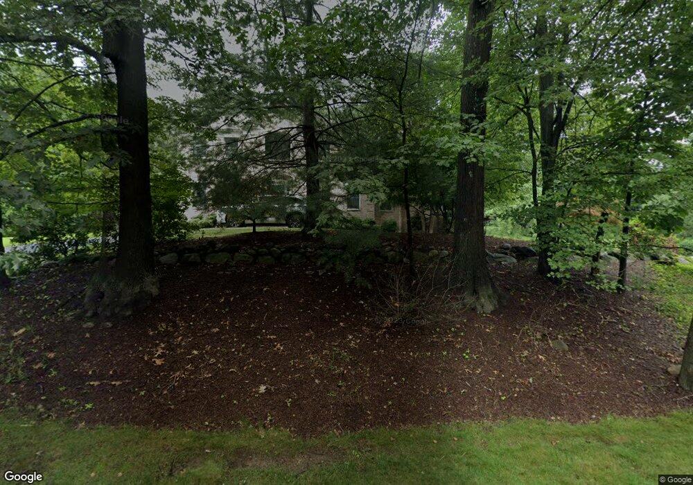
745 Shady Pond Path Franklin Lakes, NJ 07417
Estimated Value: $1,424,659 - $1,640,000
--
Bed
--
Bath
3,522
Sq Ft
$443/Sq Ft
Est. Value
About This Home
This home is located at 745 Shady Pond Path, Franklin Lakes, NJ 07417 and is currently estimated at $1,561,165, approximately $443 per square foot. 745 Shady Pond Path is a home located in Bergen County with nearby schools including Colonial Road School, Franklin Avenue Middle School, and Ramapo High School.
Ownership History
Date
Name
Owned For
Owner Type
Purchase Details
Closed on
Mar 20, 1996
Sold by
19 Shady Pond Corp
Bought by
Bocchino Thomas and Bocchino Theresa
Current Estimated Value
Home Financials for this Owner
Home Financials are based on the most recent Mortgage that was taken out on this home.
Original Mortgage
$182,000
Outstanding Balance
$7,337
Interest Rate
7.31%
Estimated Equity
$1,553,828
Create a Home Valuation Report for This Property
The Home Valuation Report is an in-depth analysis detailing your home's value as well as a comparison with similar homes in the area
Home Values in the Area
Average Home Value in this Area
Purchase History
| Date | Buyer | Sale Price | Title Company |
|---|---|---|---|
| Bocchino Thomas | $218,000 | -- |
Source: Public Records
Mortgage History
| Date | Status | Borrower | Loan Amount |
|---|---|---|---|
| Open | Bocchino Thomas | $182,000 |
Source: Public Records
Tax History Compared to Growth
Tax History
| Year | Tax Paid | Tax Assessment Tax Assessment Total Assessment is a certain percentage of the fair market value that is determined by local assessors to be the total taxable value of land and additions on the property. | Land | Improvement |
|---|---|---|---|---|
| 2025 | $15,471 | $861,400 | $365,500 | $495,900 |
| 2024 | $14,902 | $861,400 | $365,500 | $495,900 |
| 2023 | $14,523 | $861,400 | $365,500 | $495,900 |
| 2022 | $14,523 | $861,400 | $365,500 | $495,900 |
| 2021 | $13,816 | $861,400 | $365,500 | $495,900 |
| 2020 | $14,196 | $861,400 | $365,500 | $495,900 |
| 2019 | $14,144 | $861,400 | $365,500 | $495,900 |
| 2018 | $13,998 | $861,400 | $365,500 | $495,900 |
| 2017 | $14,093 | $861,400 | $365,500 | $495,900 |
| 2016 | $14,136 | $861,400 | $365,500 | $495,900 |
| 2015 | $13,774 | $861,400 | $365,500 | $495,900 |
| 2014 | $13,541 | $861,400 | $365,500 | $495,900 |
Source: Public Records
Map
Nearby Homes
- 760 Smoke Hollow Trail
- 613 Knollwood Rd
- 707 Black Hawk Ln
- 757 Sunset Terrace
- 1055 High Mountain Rd
- 1090 High Mountain Rd
- 538 Franklin Ave
- 265 Terrace Rd
- 564 Highway 208
- 564 Highway208
- 840 Stonewall Ct
- 732 Mardinly Ave
- 223 Terrace Rd
- 789 Colonial Rd
- 724 Tall Oaks Ct
- 856 Stonewall Ct
- 529 Covington Place
- 532 Franklin Ave
- 551 Oldwoods Rd
- 872 Old Mill Rd
- 755 Shady Pond Path
- 735 Shady Pond Path
- 708 Shady Pond Path
- 710 Shady Pond Path
- 725 Shady Pond Path
- 711 Smoke Hollow Trail
- 765 Shady Pond Path
- 701 Smoke Hollow Trail
- 721 Smoke Hollow Trail
- 728 Shady Pond Path
- 570 Summit Ave
- 710 Smoke Hollow Trail
- 695 Smoke Hollow Trail
- 691 Smoke Hollow Trail
- 741 Smoke Hollow Trail
- 550 Summit Ave
- 730 Smoke Hollow Trail
- 700 Smoke Hollow Trail
- 706 Smoke Hollow Trail
- 544 Summit Ave
