7450 W Coal Mine Ave Unit B Littleton, CO 80123
Columbine West NeighborhoodEstimated Value: $491,000 - $540,000
3
Beds
4
Baths
2,321
Sq Ft
$219/Sq Ft
Est. Value
About This Home
This home is located at 7450 W Coal Mine Ave Unit B, Littleton, CO 80123 and is currently estimated at $508,967, approximately $219 per square foot. 7450 W Coal Mine Ave Unit B is a home located in Jefferson County with nearby schools including Dutch Creek Elementary School, Ken Caryl Middle School, and Columbine High School.
Ownership History
Date
Name
Owned For
Owner Type
Purchase Details
Closed on
Sep 10, 2010
Sold by
Lee Brian J
Bought by
Williams Barbara A
Current Estimated Value
Home Financials for this Owner
Home Financials are based on the most recent Mortgage that was taken out on this home.
Original Mortgage
$233,750
Interest Rate
4.38%
Mortgage Type
New Conventional
Purchase Details
Closed on
Feb 8, 2008
Sold by
Torres Lisa Marie
Bought by
Lee Brian J
Home Financials for this Owner
Home Financials are based on the most recent Mortgage that was taken out on this home.
Original Mortgage
$182,800
Interest Rate
6.15%
Mortgage Type
Purchase Money Mortgage
Purchase Details
Closed on
Sep 9, 2003
Sold by
Stark Robert J
Bought by
Torres Lisa Marie
Home Financials for this Owner
Home Financials are based on the most recent Mortgage that was taken out on this home.
Original Mortgage
$174,800
Interest Rate
4.87%
Mortgage Type
Purchase Money Mortgage
Purchase Details
Closed on
Jun 30, 1999
Sold by
E Ritzman Vernon D K and E Sharon
Bought by
Stark Robert J
Home Financials for this Owner
Home Financials are based on the most recent Mortgage that was taken out on this home.
Original Mortgage
$160,050
Interest Rate
7.21%
Purchase Details
Closed on
Apr 21, 1997
Sold by
Zurek Stanley R and Zurek Maxine B
Bought by
Ritzman Vernon D and Ritzman Sharon K
Home Financials for this Owner
Home Financials are based on the most recent Mortgage that was taken out on this home.
Original Mortgage
$150,931
Interest Rate
8.25%
Mortgage Type
Stand Alone Second
Purchase Details
Closed on
Dec 29, 1994
Sold by
Connell Linda L
Bought by
Zurek Stanley R and Zurek Maxine B
Home Financials for this Owner
Home Financials are based on the most recent Mortgage that was taken out on this home.
Original Mortgage
$100,000
Interest Rate
8.75%
Create a Home Valuation Report for This Property
The Home Valuation Report is an in-depth analysis detailing your home's value as well as a comparison with similar homes in the area
Home Values in the Area
Average Home Value in this Area
Purchase History
| Date | Buyer | Sale Price | Title Company |
|---|---|---|---|
| Williams Barbara A | $220,900 | First American | |
| Lee Brian J | $228,500 | None Available | |
| Torres Lisa Marie | $184,000 | Land Title | |
| Stark Robert J | $165,000 | Land Title | |
| Ritzman Vernon D | $151,900 | -- | |
| Zurek Stanley R | $137,900 | -- |
Source: Public Records
Mortgage History
| Date | Status | Borrower | Loan Amount |
|---|---|---|---|
| Previous Owner | Williams Barbara A | $233,750 | |
| Previous Owner | Lee Brian J | $182,800 | |
| Previous Owner | Torres Lisa Marie | $174,800 | |
| Previous Owner | Stark Robert J | $160,050 | |
| Previous Owner | Ritzman Vernon D | $150,931 | |
| Previous Owner | Zurek Stanley R | $100,000 |
Source: Public Records
Tax History Compared to Growth
Tax History
| Year | Tax Paid | Tax Assessment Tax Assessment Total Assessment is a certain percentage of the fair market value that is determined by local assessors to be the total taxable value of land and additions on the property. | Land | Improvement |
|---|---|---|---|---|
| 2024 | $2,043 | $26,947 | $6,030 | $20,917 |
| 2023 | $2,043 | $26,947 | $6,030 | $20,917 |
| 2022 | $1,953 | $25,949 | $4,170 | $21,779 |
| 2021 | $2,708 | $26,696 | $4,290 | $22,406 |
| 2020 | $2,633 | $26,044 | $4,290 | $21,754 |
| 2019 | $2,601 | $26,044 | $4,290 | $21,754 |
| 2018 | $2,443 | $23,749 | $3,600 | $20,149 |
| 2017 | $2,209 | $23,749 | $3,600 | $20,149 |
| 2016 | $2,018 | $20,983 | $3,184 | $17,799 |
| 2015 | $1,705 | $20,983 | $3,184 | $17,799 |
| 2014 | $1,705 | $16,676 | $2,229 | $14,447 |
Source: Public Records
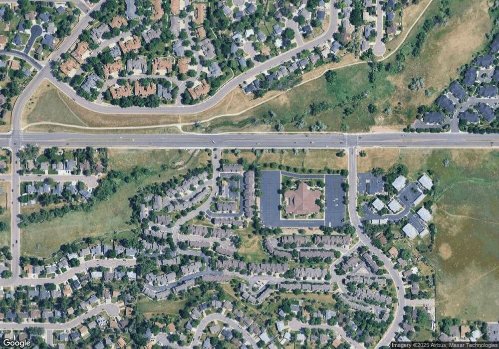
Map
Nearby Homes
- 6664 S Webster St
- 6809 S Webster St Unit E
- 6815 S Webster St Unit F
- 6837 S Webster St Unit C
- 7633 W Euclid Dr
- 6585 S Webster St
- 6819 S Webster St Unit B
- 6566 S Yukon Way
- 6556 S Yukon Way
- 6834 S Webster St
- 6942 S Webster Way
- 6895 S Webster St
- 7762 W Ottawa Place
- 7836 W Walker Dr
- 7795 W Ottawa Dr
- 7196 W Portland Ave Unit 7196
- 7020 W Portland Ave Unit 7020
- 7158 W Roxbury Ave
- 6392 S Newland Ct
- 7231 S Webster St
- 7450 W Coal Mine Ave Unit J
- 7450 W Coal Mine Ave Unit I
- 7450 W Coal Mine Ave Unit H
- 7450 W Coal Mine Ave Unit G
- 7450 W Coal Mine Ave Unit F
- 7450 W Coal Mine Ave Unit E
- 7450 W Coal Mine Ave Unit D
- 7450 W Coal Mine Ave Unit C
- 7450 W Coal Mine Ave
- 7440 W Coal Mine Ave Unit A
- 7440 W Coal Mine Ave Unit B
- 7440 W Coal Mine Ave Unit C
- 7440 W Coal Mine Ave Unit D
- 7430 W Coal Mine Ave Unit C
- 7430 W Coal Mine Ave Unit B
- 7430 W Coal Mine Ave Unit A
- 7420 W Coal Mine Ave Unit D
- 7420 W Coal Mine Ave Unit C
- 7420 W Coal Mine Ave Unit B
- 7420 W Coal Mine Ave Unit A