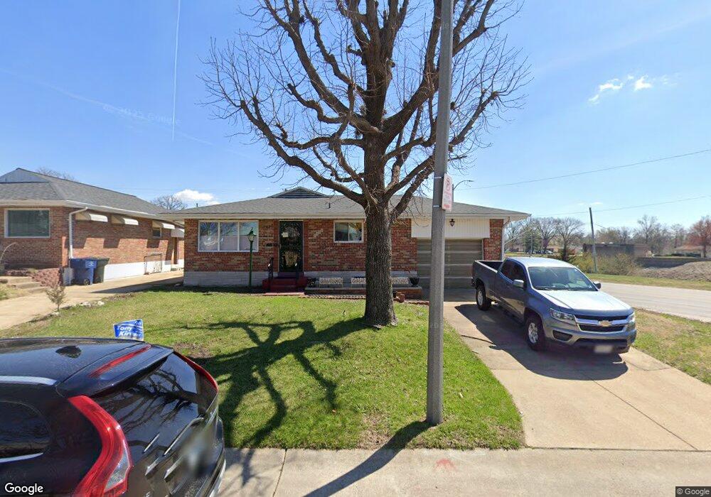
7452 Sharp Ave Saint Louis, MO 63116
Boulevard Heights NeighborhoodEstimated Value: $208,000 - $230,000
3
Beds
2
Baths
1,120
Sq Ft
$199/Sq Ft
Est. Value
About This Home
This home is located at 7452 Sharp Ave, Saint Louis, MO 63116 and is currently estimated at $222,640, approximately $198 per square foot. 7452 Sharp Ave is a home located in St. Louis City with nearby schools including Woerner Elementary School, Long International Middle School, and Roosevelt High School.
Ownership History
Date
Name
Owned For
Owner Type
Purchase Details
Closed on
Apr 30, 2008
Sold by
Elchinger Ruth and Elchinger Ada Ruth
Bought by
Nichols Alvin J
Current Estimated Value
Home Financials for this Owner
Home Financials are based on the most recent Mortgage that was taken out on this home.
Original Mortgage
$117,325
Outstanding Balance
$74,224
Interest Rate
5.86%
Mortgage Type
Purchase Money Mortgage
Estimated Equity
$148,416
Create a Home Valuation Report for This Property
The Home Valuation Report is an in-depth analysis detailing your home's value as well as a comparison with similar homes in the area
Home Values in the Area
Average Home Value in this Area
Purchase History
| Date | Buyer | Sale Price | Title Company |
|---|---|---|---|
| Nichols Alvin J | -- | None Available |
Source: Public Records
Mortgage History
| Date | Status | Borrower | Loan Amount |
|---|---|---|---|
| Open | Nichols Alvin J | $117,325 |
Source: Public Records
Tax History
| Year | Tax Paid | Tax Assessment Tax Assessment Total Assessment is a certain percentage of the fair market value that is determined by local assessors to be the total taxable value of land and additions on the property. | Land | Improvement |
|---|---|---|---|---|
| 2025 | $2,796 | $37,060 | $2,380 | $34,680 |
| 2024 | $2,660 | $33,070 | $2,380 | $30,690 |
| 2023 | $2,660 | $33,070 | $2,380 | $30,690 |
| 2022 | $2,490 | $29,780 | $2,380 | $27,400 |
| 2021 | $2,486 | $29,780 | $2,380 | $27,400 |
| 2020 | $2,192 | $26,420 | $2,380 | $24,040 |
| 2019 | $2,184 | $26,420 | $2,380 | $24,040 |
| 2018 | $2,031 | $23,790 | $1,980 | $21,810 |
| 2017 | $1,997 | $23,790 | $1,980 | $21,810 |
| 2016 | $1,916 | $22,520 | $1,980 | $20,540 |
| 2015 | $1,737 | $22,520 | $1,980 | $20,540 |
| 2014 | $1,708 | $22,520 | $1,980 | $20,540 |
| 2013 | -- | $22,160 | $1,980 | $20,180 |
Source: Public Records
Map
Nearby Homes
- 5321 Tesson Ct
- 3917 Crosby Dr
- 7824 Decatur Dr
- 7337 Sharp Ave
- 7856 Leona St
- 7316 Sharp Ave
- 4140 Tesson St
- 7123 Trainor Place
- 7119 Trainor Place
- 4028 Blow St
- 3720 Comstock Dr
- 4120 Kettler Rd
- 4050 Quincy St
- 4056 Quincy St
- 227 Hernan Dr
- 3619 Steins St
- 7320 Eugene Ave
- 3761 Blow St
- 8277 Morganford Rd
- 4639 Primm St
- 7448 Sharp Ave
- 7444 Sharp Ave
- 7440 Sharp Ave
- 3973 Germania St
- 7436 Sharp Ave
- 3969 Germania St
- 7447 Sharp Ave
- 7439 Sharp Ave
- 3965 Germania St
- 7430 Sharp Ave
- 3940 Louis St
- 7435 Sharp Ave
- 3961 Germania St
- 4029 Germania St
- 3936 Louis St
- 3957 Germania St
- 7431 Sharp Ave
- 4031 Germania St
- 3932 Louis St
- 3953 Germania St
Your Personal Tour Guide
Ask me questions while you tour the home.