7454 E Oasis Cir Mesa, AZ 85207
Las Sendas NeighborhoodEstimated Value: $567,245 - $642,000
3
Beds
3
Baths
2,150
Sq Ft
$282/Sq Ft
Est. Value
About This Home
This home is located at 7454 E Oasis Cir, Mesa, AZ 85207 and is currently estimated at $605,311, approximately $281 per square foot. 7454 E Oasis Cir is a home located in Maricopa County with nearby schools including Franklin at Brimhall Elementary School, Las Sendas Elementary School, and Franklin West Elementary School.
Ownership History
Date
Name
Owned For
Owner Type
Purchase Details
Closed on
Jan 23, 2020
Sold by
National Residential Nominee Svcs Inc
Bought by
Hawthorne Lauren
Current Estimated Value
Home Financials for this Owner
Home Financials are based on the most recent Mortgage that was taken out on this home.
Original Mortgage
$337,504
Outstanding Balance
$296,531
Interest Rate
3.75%
Mortgage Type
FHA
Estimated Equity
$308,780
Purchase Details
Closed on
Dec 18, 2019
Sold by
Barbour Curtis Darin
Bought by
National Residential Nominee Svcs Inc
Home Financials for this Owner
Home Financials are based on the most recent Mortgage that was taken out on this home.
Original Mortgage
$337,504
Outstanding Balance
$296,531
Interest Rate
3.75%
Mortgage Type
FHA
Estimated Equity
$308,780
Purchase Details
Closed on
Aug 30, 2010
Sold by
Barbour Jody
Bought by
Barbour Curtis Darin
Home Financials for this Owner
Home Financials are based on the most recent Mortgage that was taken out on this home.
Original Mortgage
$154,320
Interest Rate
4.48%
Mortgage Type
New Conventional
Purchase Details
Closed on
Mar 8, 2010
Sold by
Lintala George H and Lintala Mary K
Bought by
Federal National Mortgage Association
Purchase Details
Closed on
Nov 8, 2004
Sold by
Lintala George H
Bought by
Lintala George H and Lintala Mary K
Home Financials for this Owner
Home Financials are based on the most recent Mortgage that was taken out on this home.
Original Mortgage
$59,180
Interest Rate
5.65%
Mortgage Type
Stand Alone Second
Purchase Details
Closed on
Jun 11, 2003
Sold by
Cruise John J and Cruise Jennifer L
Bought by
Corris Merrisue
Home Financials for this Owner
Home Financials are based on the most recent Mortgage that was taken out on this home.
Original Mortgage
$204,250
Interest Rate
5.13%
Mortgage Type
New Conventional
Purchase Details
Closed on
Aug 25, 1999
Sold by
Blandford Homes Llc
Bought by
Cruise John J and Cruise Jennifer L
Home Financials for this Owner
Home Financials are based on the most recent Mortgage that was taken out on this home.
Original Mortgage
$161,050
Interest Rate
7.47%
Mortgage Type
Seller Take Back
Create a Home Valuation Report for This Property
The Home Valuation Report is an in-depth analysis detailing your home's value as well as a comparison with similar homes in the area
Home Values in the Area
Average Home Value in this Area
Purchase History
| Date | Buyer | Sale Price | Title Company |
|---|---|---|---|
| Hawthorne Lauren | $345,000 | Chicago Title Agency | |
| National Residential Nominee Svcs Inc | -- | Chicago Title Agency | |
| Barbour Curtis Darin | -- | Old Republic Title Agency | |
| Barbour Curtis Darin | $192,900 | Old Republic Title Agency | |
| Federal National Mortgage Association | $347,750 | Accommodation | |
| Lintala George H | -- | Security Title Agency Inc | |
| Lintala George H | -- | Security Title Agency Inc | |
| Lintala George H | $295,900 | Security Title Agency Inc | |
| Corris Merrisue | $215,000 | Transnation Title Ins Co | |
| Cruise John J | $169,550 | Transnation Title Ins Co |
Source: Public Records
Mortgage History
| Date | Status | Borrower | Loan Amount |
|---|---|---|---|
| Open | Hawthorne Lauren | $337,504 | |
| Previous Owner | Barbour Curtis Darin | $154,320 | |
| Previous Owner | Lintala George H | $59,180 | |
| Previous Owner | Lintala George H | $236,720 | |
| Previous Owner | Lintala George H | $59,180 | |
| Previous Owner | Corris Merrisue | $204,250 | |
| Previous Owner | Cruise John J | $161,050 |
Source: Public Records
Tax History
| Year | Tax Paid | Tax Assessment Tax Assessment Total Assessment is a certain percentage of the fair market value that is determined by local assessors to be the total taxable value of land and additions on the property. | Land | Improvement |
|---|---|---|---|---|
| 2025 | $2,642 | $31,812 | -- | -- |
| 2024 | $2,671 | $30,297 | -- | -- |
| 2023 | $2,671 | $43,530 | $8,700 | $34,830 |
| 2022 | $2,612 | $30,420 | $6,080 | $24,340 |
| 2021 | $2,684 | $29,560 | $5,910 | $23,650 |
| 2020 | $2,648 | $27,680 | $5,530 | $22,150 |
| 2019 | $2,453 | $24,550 | $4,910 | $19,640 |
| 2018 | $2,342 | $24,180 | $4,830 | $19,350 |
| 2017 | $2,268 | $25,670 | $5,130 | $20,540 |
| 2016 | $2,227 | $24,270 | $4,850 | $19,420 |
| 2015 | $2,103 | $24,210 | $4,840 | $19,370 |
Source: Public Records
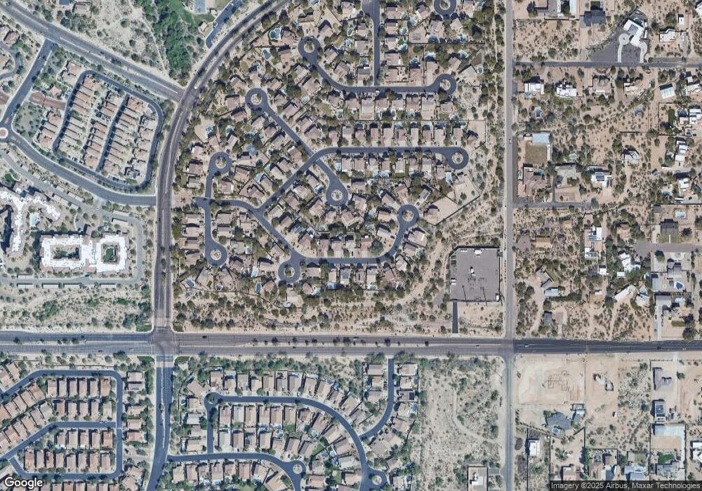
Map
Nearby Homes
- 2941 N Avoca Cir
- 3017 N Sawyer
- 3033 N Sawyer
- 8042 E Palm Ln
- 7253 E Nathan St
- 7245 E Norland St
- 7316 E Northridge Cir
- 7304 E Northridge Cir
- 3060 N Ridgecrest Unit 109
- 3060 N Ridgecrest Unit 115
- 3055 N Red Mountain Unit 209
- 3055 N Red Mountain Unit 74
- 3055 N Red Mountain Unit 136
- 7214 E Orion St
- 7630 E Culver (Approx) St
- 7618 E Presidio St
- 2754 N Augustine
- 6861 E Pearl St
- 7325 E Minton Cir
- 7841 E Mcdowell Rd
- 7448 E Oasis Cir
- 7455 E Oasis Cir
- 7438 E Oasis Cir
- 7454 E Oasis Cir
- 2908 N Avoca Cir
- 2901 N Avoca Cir
- 7430 E Oasis Cir
- 7462 E Oasis Cir
- 7453 E Oasis Cir
- 7445 E Oasis Cir
- 7422 E Oasis Cir
- 2835 N Avery Cir
- 2916 N Avoca Cir
- 7459 E Oasis Cir
- 7422 E Oasis St Unit 4
- 2909 N Avoca Cir
- 7465 E Oasis Cir
- 2829 N Avery Cir
- 7522 E Oasis Cir
- 7417 E Odessa St
Your Personal Tour Guide
Ask me questions while you tour the home.