7460 W Coal Mine Ave Unit A Littleton, CO 80123
Columbine West NeighborhoodEstimated Value: $420,984 - $437,000
2
Beds
3
Baths
1,298
Sq Ft
$330/Sq Ft
Est. Value
About This Home
This home is located at 7460 W Coal Mine Ave Unit A, Littleton, CO 80123 and is currently estimated at $428,496, approximately $330 per square foot. 7460 W Coal Mine Ave Unit A is a home located in Jefferson County with nearby schools including Dutch Creek Elementary School, Ken Caryl Middle School, and Columbine High School.
Ownership History
Date
Name
Owned For
Owner Type
Purchase Details
Closed on
Jul 23, 2018
Sold by
Sierra Bishop
Bought by
Tuchinski Bernie
Current Estimated Value
Home Financials for this Owner
Home Financials are based on the most recent Mortgage that was taken out on this home.
Original Mortgage
$315,250
Outstanding Balance
$273,333
Interest Rate
4.52%
Estimated Equity
$155,164
Purchase Details
Closed on
Dec 30, 1997
Sold by
Gonzales Teresa J and Gonzales Teresa J
Bought by
Linenberger Renee E and Bollinger Kevin J
Home Financials for this Owner
Home Financials are based on the most recent Mortgage that was taken out on this home.
Original Mortgage
$123,250
Interest Rate
7.15%
Mortgage Type
FHA
Create a Home Valuation Report for This Property
The Home Valuation Report is an in-depth analysis detailing your home's value as well as a comparison with similar homes in the area
Home Values in the Area
Average Home Value in this Area
Purchase History
| Date | Buyer | Sale Price | Title Company |
|---|---|---|---|
| Tuchinski Bernie | $325,000 | -- | |
| Linenberger Renee E | $127,500 | North American Title |
Source: Public Records
Mortgage History
| Date | Status | Borrower | Loan Amount |
|---|---|---|---|
| Open | Tuchinski Bernie | $315,250 | |
| Closed | Tuchinski Bernie | -- | |
| Previous Owner | Linenberger Renee E | $123,250 |
Source: Public Records
Tax History Compared to Growth
Tax History
| Year | Tax Paid | Tax Assessment Tax Assessment Total Assessment is a certain percentage of the fair market value that is determined by local assessors to be the total taxable value of land and additions on the property. | Land | Improvement |
|---|---|---|---|---|
| 2024 | $2,261 | $22,403 | $6,030 | $16,373 |
| 2023 | $2,261 | $22,403 | $6,030 | $16,373 |
| 2022 | $2,310 | $22,470 | $4,170 | $18,300 |
| 2021 | $2,345 | $23,117 | $4,290 | $18,827 |
| 2020 | $2,264 | $22,395 | $4,290 | $18,105 |
| 2019 | $2,236 | $22,395 | $4,290 | $18,105 |
| 2018 | $2,028 | $19,716 | $3,600 | $16,116 |
| 2017 | $1,834 | $19,716 | $3,600 | $16,116 |
| 2016 | $1,646 | $17,114 | $3,184 | $13,930 |
| 2015 | $1,401 | $17,114 | $3,184 | $13,930 |
| 2014 | $1,401 | $13,707 | $2,229 | $11,478 |
Source: Public Records
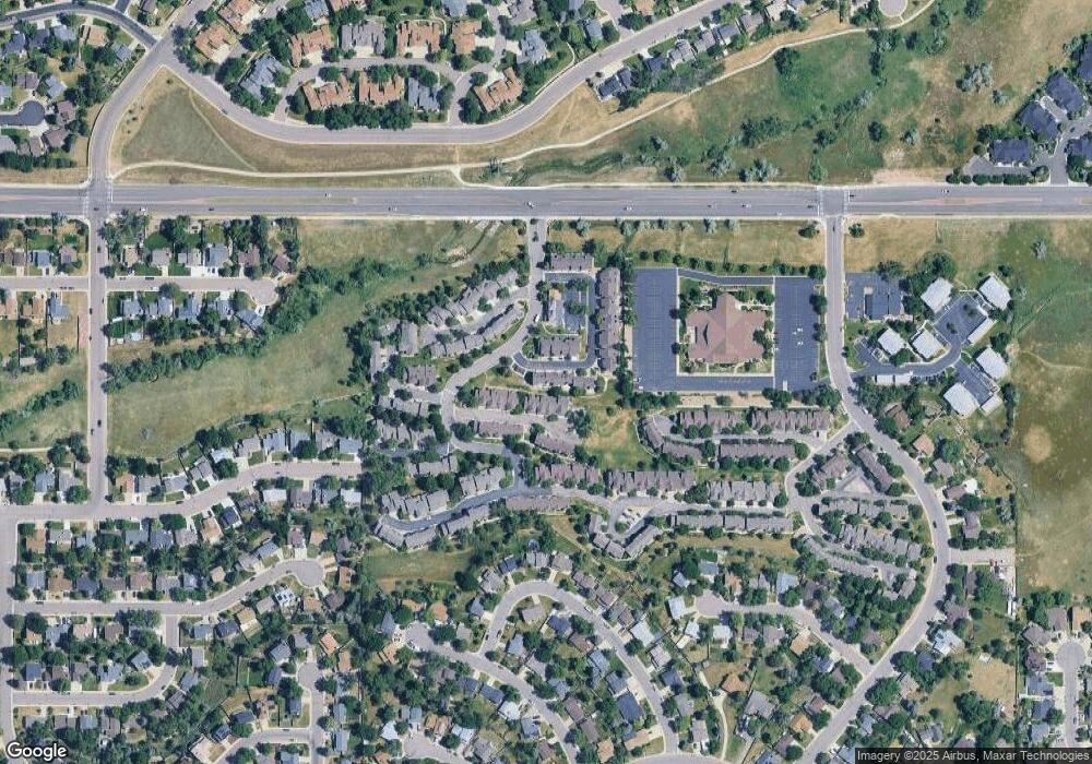
Map
Nearby Homes
- 6809 S Webster St Unit E
- 6815 S Webster St Unit F
- 6837 S Webster St Unit C
- 6664 S Webster St
- 6819 S Webster St Unit B
- 6942 S Webster Way
- 6895 S Webster St
- 6834 S Webster St
- 7633 W Euclid Dr
- 6585 S Webster St
- 7762 W Ottawa Place
- 6566 S Yukon Way
- 7795 W Ottawa Dr
- 7020 W Portland Ave Unit 7020
- 7836 W Walker Dr
- 7158 W Roxbury Ave
- 7231 S Webster St
- 7529 W Frost Dr
- 6953 W Roxbury Place
- 8242 W Portland Ave
- 7460 W Coal Mine Ave Unit F
- 7460 W Coal Mine Ave Unit E
- 7460 W Coal Mine Ave Unit D
- 7460 W Coal Mine Ave Unit C
- 7460 W Coal Mine Ave Unit B
- 7460 W Coal Mine Ave
- 7420 W Coal Mine Ave Unit D
- 7420 W Coal Mine Ave Unit C
- 7420 W Coal Mine Ave Unit B
- 7420 W Coal Mine Ave Unit A
- 7420 W Coal Mine Ave
- 7500 W Coal Mine Ave Unit H
- 7500 W Coal Mine Ave Unit G
- 7500 W Coal Mine Ave Unit F
- 7500 W Coal Mine Ave Unit E
- 7500 W Coal Mine Ave Unit D
- 7500 W Coal Mine Ave Unit C
- 7500 W Coal Mine Ave Unit B
- 7500 W Coal Mine Ave Unit A
- 7430 W Coal Mine Ave Unit C