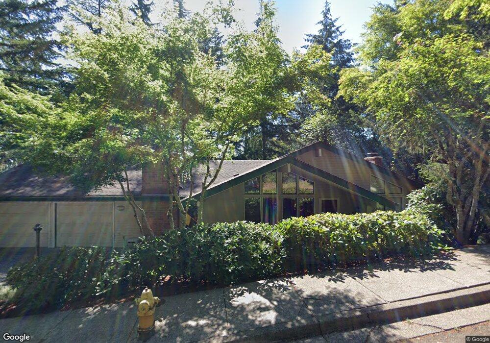
747 Brookside Dr Eugene, OR 97405
Crest Drive NeighborhoodEstimated Value: $572,246 - $629,000
4
Beds
3
Baths
2,304
Sq Ft
$262/Sq Ft
Est. Value
About This Home
This home is located at 747 Brookside Dr, Eugene, OR 97405 and is currently estimated at $602,812, approximately $261 per square foot. 747 Brookside Dr is a home located in Lane County with nearby schools including Edgewood Community Elementary School, Spencer Butte Middle School, and South Eugene High School.
Ownership History
Date
Name
Owned For
Owner Type
Purchase Details
Closed on
Jun 27, 2000
Sold by
Pifer Gerald L and Pifer Constance M
Bought by
Galka Roger M and Simon Ruth A
Current Estimated Value
Home Financials for this Owner
Home Financials are based on the most recent Mortgage that was taken out on this home.
Original Mortgage
$57,000
Interest Rate
8.35%
Create a Home Valuation Report for This Property
The Home Valuation Report is an in-depth analysis detailing your home's value as well as a comparison with similar homes in the area
Home Values in the Area
Average Home Value in this Area
Purchase History
| Date | Buyer | Sale Price | Title Company |
|---|---|---|---|
| Galka Roger M | $195,000 | Western Pioneer Title Co |
Source: Public Records
Mortgage History
| Date | Status | Borrower | Loan Amount |
|---|---|---|---|
| Closed | Galka Roger M | $57,000 |
Source: Public Records
Tax History
| Year | Tax Paid | Tax Assessment Tax Assessment Total Assessment is a certain percentage of the fair market value that is determined by local assessors to be the total taxable value of land and additions on the property. | Land | Improvement |
|---|---|---|---|---|
| 2025 | $6,671 | $342,409 | -- | -- |
| 2024 | $6,588 | $332,436 | -- | -- |
| 2023 | $6,588 | $322,754 | $0 | $0 |
| 2022 | $6,172 | $313,354 | $0 | $0 |
| 2021 | $5,797 | $304,228 | $0 | $0 |
| 2020 | $5,818 | $295,367 | $0 | $0 |
| 2019 | $5,619 | $286,765 | $0 | $0 |
| 2018 | $5,289 | $270,304 | $0 | $0 |
| 2017 | $4,994 | $270,304 | $0 | $0 |
| 2016 | $4,783 | $262,431 | $0 | $0 |
| 2015 | $4,641 | $254,787 | $0 | $0 |
| 2014 | $4,573 | $247,366 | $0 | $0 |
Source: Public Records
Map
Nearby Homes
- 0 Pine View Ct Unit 758820410
- 365 Brae Burn Dr
- 422 Stonewood Dr Unit 422
- 418 Stonewood Dr Unit 418
- 278 Rockridge Ct
- 4040 Southpointe Dr
- 223 Trailside Loop Unit 223
- 151 Treehill Loop Unit 151
- 152 Treehill Loop Unit 152
- 143 Treehill Loop Unit 143
- 4344 Blanton Rd
- 126 Treehill Loop Unit 126
- 806 Sundance St
- 21 Westbrook Way
- 36 Westbrook Way
- 17 Westbrook Way
- 0 W 40th Ave Unit 3 545854116
- 0 W 40th Ave Unit 3 639571582
- 3854 Monroe St
- 453 Dellwood Dr
- 803 Brookside Dr
- 743 Brookside Dr
- 1627 Arendale Ln
- 0 Chambers (Tl #00101) St Unit 774844
- 883 Brookside Dr
- 750 Brookside Dr
- 901 Brookside Dr
- 798 Brookside Dr
- 903 Brookside Dr
- 815 Brookside Dr
- 796 Brookside Dr
- 739 Brookside Dr
- 752 Brookside Dr
- 794 Brookside Dr
- 911 Salista Place
- 951 Be Ell Place
- 710 Pine View Ct
- 754 Brookside Dr
- 986 Brookside Dr
- 890 Brookside Dr
Your Personal Tour Guide
Ask me questions while you tour the home.