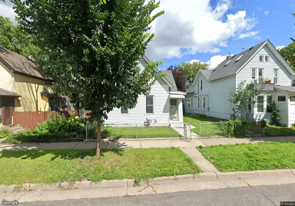
749 Englewood Ave Saint Paul, MN 55104
Frogtown NeighborhoodEstimated Value: $168,000 - $203,000
4
Beds
1
Bath
863
Sq Ft
$212/Sq Ft
Est. Value
About This Home
This home is located at 749 Englewood Ave, Saint Paul, MN 55104 and is currently estimated at $183,074, approximately $212 per square foot. 749 Englewood Ave is a home located in Ramsey County with nearby schools including Maxfield Magnet Elementary School, Hidden River Middle School, and Central Senior High School.
Ownership History
Date
Name
Owned For
Owner Type
Purchase Details
Closed on
Mar 10, 2022
Sold by
Cumpanaro Cheryl Ann
Bought by
Cumpanaro Cheryl Ann and Obryan Pennis John
Current Estimated Value
Purchase Details
Closed on
May 16, 2007
Sold by
Sanchez James E
Bought by
Bradshaw Marta K
Purchase Details
Closed on
Mar 14, 2007
Sold by
Thomas Allen Consulting Inc
Bought by
Sanchez James E
Create a Home Valuation Report for This Property
The Home Valuation Report is an in-depth analysis detailing your home's value as well as a comparison with similar homes in the area
Home Values in the Area
Average Home Value in this Area
Purchase History
| Date | Buyer | Sale Price | Title Company |
|---|---|---|---|
| Cumpanaro Cheryl Ann | -- | None Listed On Document | |
| Bradshaw Marta K | $110,000 | -- | |
| Sanchez James E | $81,600 | -- |
Source: Public Records
Tax History Compared to Growth
Tax History
| Year | Tax Paid | Tax Assessment Tax Assessment Total Assessment is a certain percentage of the fair market value that is determined by local assessors to be the total taxable value of land and additions on the property. | Land | Improvement |
|---|---|---|---|---|
| 2025 | $2,746 | $177,400 | $25,000 | $152,400 |
| 2023 | $2,746 | $163,400 | $20,000 | $143,400 |
| 2022 | $2,580 | $151,100 | $20,000 | $131,100 |
| 2021 | $2,238 | $133,900 | $20,000 | $113,900 |
| 2020 | $2,074 | $132,900 | $11,200 | $121,700 |
| 2019 | $1,872 | $120,000 | $11,200 | $108,800 |
| 2018 | $1,602 | $97,800 | $11,200 | $86,600 |
| 2017 | $1,662 | $85,600 | $11,200 | $74,400 |
| 2016 | $1,596 | $0 | $0 | $0 |
| 2015 | $1,402 | $76,700 | $11,200 | $65,500 |
| 2014 | $1,308 | $0 | $0 | $0 |
Source: Public Records
Map
Nearby Homes
- 751 Van Buren Ave
- 646 Van Buren Ave
- 631 Van Buren Ave
- 710 Lafond Ave
- 653 Thomas Ave
- 679 Edmund Ave
- 730 Edmund Ave
- 784 Edmund Ave
- 816 Edmund Ave
- 818 Edmund Ave
- 723 Charles Ave
- 852 Edmund Ave
- 553 Blair Ave
- 885 Edmund Ave
- 547 Blair Ave
- 679 Charles Ave
- 552 Burgess St
- 352 Como Ave
- 989 Barrett St
- 877 Charles Ave
- 745 Englewood Ave
- 753 Englewood Ave
- 757 Englewood Ave
- 743 Englewood Ave
- 759 Grotto St N
- 761 Englewood Ave
- 765 Englewood Ave
- 748 Englewood Ave
- 752 Englewood Ave
- 746 Englewood Ave
- 769 Englewood Ave
- 758 Englewood Ave
- 742 Englewood Ave
- 762 Englewood Ave
- 775 Englewood Ave
- 766 Englewood Ave
- 770 Englewood Ave
- 781 Englewood Ave
- 747 747 Pierce Butler Route
- 751 Pierce Butler Route