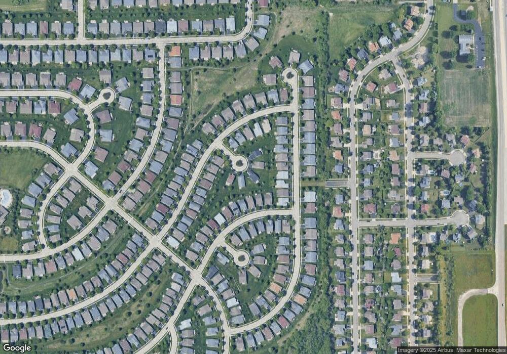
749 Heron Way Ct Elgin, IL 60124
Providence NeighborhoodEstimated Value: $339,000 - $426,000
2
Beds
2
Baths
1,389
Sq Ft
$273/Sq Ft
Est. Value
About This Home
This home is located at 749 Heron Way Ct, Elgin, IL 60124 and is currently estimated at $379,239, approximately $273 per square foot. 749 Heron Way Ct is a home located in Kane County with nearby schools including Otter Creek Elementary School, Abbott Middle School, and South Elgin High School.
Ownership History
Date
Name
Owned For
Owner Type
Purchase Details
Closed on
Mar 28, 2011
Sold by
Seaman Steven P and Seaman Edythe A
Bought by
Kinchus Stephen M and Kinchus Sandra M
Current Estimated Value
Home Financials for this Owner
Home Financials are based on the most recent Mortgage that was taken out on this home.
Original Mortgage
$105,000
Outstanding Balance
$40,529
Interest Rate
5.04%
Mortgage Type
New Conventional
Estimated Equity
$338,710
Purchase Details
Closed on
Jul 14, 2006
Sold by
Pulte Home Corp
Bought by
Seaman Steven P and Seaman Edythe A
Create a Home Valuation Report for This Property
The Home Valuation Report is an in-depth analysis detailing your home's value as well as a comparison with similar homes in the area
Home Values in the Area
Average Home Value in this Area
Purchase History
| Date | Buyer | Sale Price | Title Company |
|---|---|---|---|
| Kinchus Stephen M | $214,500 | Chicago Title Insurance Co | |
| Seaman Steven P | $247,000 | Pulte Midwest Title South |
Source: Public Records
Mortgage History
| Date | Status | Borrower | Loan Amount |
|---|---|---|---|
| Open | Kinchus Stephen M | $105,000 |
Source: Public Records
Tax History Compared to Growth
Tax History
| Year | Tax Paid | Tax Assessment Tax Assessment Total Assessment is a certain percentage of the fair market value that is determined by local assessors to be the total taxable value of land and additions on the property. | Land | Improvement |
|---|---|---|---|---|
| 2024 | $7,025 | $103,782 | $35,167 | $68,615 |
| 2023 | $6,629 | $93,759 | $31,771 | $61,988 |
| 2022 | $6,459 | $85,492 | $28,970 | $56,522 |
| 2021 | $6,150 | $79,929 | $27,085 | $52,844 |
| 2020 | $5,956 | $76,305 | $25,857 | $50,448 |
| 2019 | $5,761 | $72,685 | $24,630 | $48,055 |
| 2018 | $6,235 | $74,069 | $23,203 | $50,866 |
| 2017 | $6,071 | $70,022 | $21,935 | $48,087 |
| 2016 | $6,288 | $64,962 | $20,350 | $44,612 |
| 2015 | -- | $59,544 | $18,653 | $40,891 |
| 2014 | -- | $58,809 | $18,423 | $40,386 |
| 2013 | -- | $53,015 | $18,909 | $34,106 |
Source: Public Records
Map
Nearby Homes
- 2525 Rolling Ridge
- 1044 Reserve Dr
- 611 Woodbridge Dr
- 2911 Kelly Dr
- 761 Verde Vista Ct Unit 611F
- 2038 College Green Dr
- 3102 Holden St
- 1141 Delta Ct Unit 255E
- 500 S Randall Rd
- 598 Lismore Cir
- 600 Lismore Cir
- 612 Lismore Cir
- 614 Lismore Cir
- 2464 Emily Ln
- 611 Lismore Cir
- 613 Lismore Cir
- 615 Lismore Cir
- 2898 Killarny Dr
- 2527 Emily Ln
- 3100 Holden St
- 751 Heron Way Ct
- 753 Heron Way Ct
- 752 Heron Way Ct
- 718 Tahoe Trail
- 2460 Harvest Valley
- 2462 Harvest Valley
- 2464 Harvest Valley
- 2458 Harvest Valley
- 716 Tahoe Trail
- 2466 Harvest Valley
- 714 Tahoe Trail
- 720 Tahoe Trail
- 2447 Rolling Ridge
- 712 Tahoe Trail
- 2453 Rolling Ridge
- 2445 Rolling Ridge
- 2455 Rolling Ridge
- 2468 Harvest Valley
- 722 Tahoe Trail
- 710 Tahoe Trail
