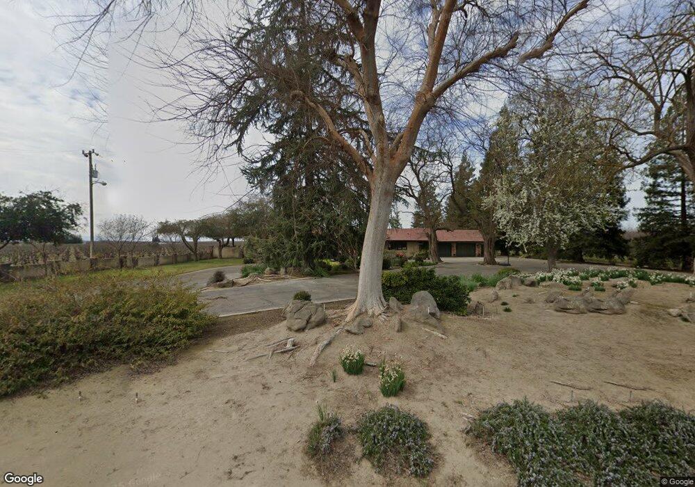
749 N Shasta Ave Kerman, CA 93630
Estimated Value: $632,000 - $752,000
3
Beds
3
Baths
2,799
Sq Ft
$248/Sq Ft
Est. Value
About This Home
This home is located at 749 N Shasta Ave, Kerman, CA 93630 and is currently estimated at $693,917, approximately $247 per square foot. 749 N Shasta Ave is a home with nearby schools including Sun Empire Elementary School.
Ownership History
Date
Name
Owned For
Owner Type
Purchase Details
Closed on
Oct 25, 2021
Sold by
Peterson Carol A and Carol A Peterson Separate Prop
Bought by
Peterson Carol A and Carol A Peterson Separate Prop
Current Estimated Value
Purchase Details
Closed on
Jul 16, 2018
Sold by
County Of Fresno
Bought by
Peterson Carol A
Purchase Details
Closed on
Apr 23, 2015
Sold by
Peterson Carol Angelyn
Bought by
Peterson Carol A
Purchase Details
Closed on
Dec 30, 2002
Sold by
Peterson Robert John
Bought by
Peterson Carol Angelyn
Purchase Details
Closed on
Aug 21, 1996
Sold by
Peterson Carol A and Peterson Angelyn Carol
Bought by
Peterson Robert John and Peterson Carol Angelyn
Create a Home Valuation Report for This Property
The Home Valuation Report is an in-depth analysis detailing your home's value as well as a comparison with similar homes in the area
Purchase History
| Date | Buyer | Sale Price | Title Company |
|---|---|---|---|
| Peterson Carol A | -- | Old Republic Title Company | |
| Peterson Carol A | -- | None Available | |
| Peterson Carol A | -- | None Available | |
| Peterson Carol Angelyn | -- | -- | |
| Peterson Robert John | -- | Stewart Title |
Source: Public Records
Tax History
| Year | Tax Paid | Tax Assessment Tax Assessment Total Assessment is a certain percentage of the fair market value that is determined by local assessors to be the total taxable value of land and additions on the property. | Land | Improvement |
|---|---|---|---|---|
| 2025 | $2,585 | $213,690 | $8,568 | $205,122 |
| 2023 | $2,451 | $205,393 | $8,236 | $197,157 |
| 2022 | $2,383 | $201,367 | $8,075 | $193,292 |
| 2021 | $6,370 | $464,784 | $120,086 | $344,698 |
| 2020 | $4,902 | $340,061 | $99,851 | $240,210 |
| 2019 | $4,864 | $334,838 | $99,338 | $235,500 |
| 2018 | $4,583 | $321,116 | $90,233 | $230,883 |
| 2017 | $4,500 | $312,972 | $86,616 | $226,356 |
| 2016 | $4,172 | $318,319 | $91,878 | $226,441 |
| 2015 | $3,985 | $299,067 | $78,860 | $220,207 |
| 2014 | -- | $293,205 | $74,240 | $218,965 |
Source: Public Records
Map
Nearby Homes
- 17617 W Belmont Ave
- 17496 W Whitesbridge Ave Unit 8
- 16052 W Middleton Ave
- 402 S Michelle Ave
- 16477 W Kearney Blvd
- 15783 Crimson Ave
- 16190 W Monterey Ave
- 16172 W Monterey Ave
- 16208 W Monterey Ave
- 16180 W Monterey Ave
- 458 S Susan Ave
- 450 S Susan Ave
- 16171 W Monterey Ave
- 16161 W Monterey Ave
- 16151 W Monterey Ave
- 775 S Michelle Ave
- 798 S Michelle Ave
- 443 S Park Ave
- 16220 W David Ave
- 16210 W David Ave
- 622 N Shasta Ave
- 17667 W Belmont Ave
- 17303 W Belmont Ave
- 17343 W Nielsen Ave
- 17179 W Nielsen Ave
- 730 N Trinity Ave
- 17930 W Nielsen Ave
- 735 N Lassen Ave
- 17073 W Nielsen Ave
- 534 N Lassen Ave
- 367 N Lassen Ave
- 16945 W Nielsen Ave
- 17192 W Whitesbridge Ave
- 16859 W Nielsen Ave
- 275 N Trinity Ave
- 348 N Lassen Ave
- 336 N Lassen Ave
- 251 N Trinity Ave
- 310 N Lassen Ave
- 18189 W Nielsen Ave
Your Personal Tour Guide
Ask me questions while you tour the home.