Estimated Value: $148,567 - $424,000
1
Bed
1
Bath
480
Sq Ft
$508/Sq Ft
Est. Value
About This Home
This home is located at 7490 S Point Ln, Britt, MN 55710 and is currently estimated at $243,892, approximately $508 per square foot. 7490 S Point Ln is a home located in St. Louis County with nearby schools including Parkview Elementary School, North Star Elementary School, and Rock Ridge High School.
Create a Home Valuation Report for This Property
The Home Valuation Report is an in-depth analysis detailing your home's value as well as a comparison with similar homes in the area
Tax History Compared to Growth
Tax History
| Year | Tax Paid | Tax Assessment Tax Assessment Total Assessment is a certain percentage of the fair market value that is determined by local assessors to be the total taxable value of land and additions on the property. | Land | Improvement |
|---|---|---|---|---|
| 2024 | $408 | $102,900 | $51,100 | $51,800 |
| 2023 | $408 | $102,900 | $51,100 | $51,800 |
| 2022 | $582 | $102,900 | $51,100 | $51,800 |
| 2021 | $572 | $88,500 | $44,400 | $44,100 |
| 2020 | $794 | $88,700 | $44,400 | $44,300 |
| 2019 | $670 | $100,000 | $48,100 | $51,900 |
| 2018 | $688 | $100,000 | $48,100 | $51,900 |
| 2017 | $696 | $100,000 | $48,100 | $51,900 |
| 2016 | $644 | $100,000 | $48,100 | $51,900 |
| 2015 | $537 | $65,000 | $32,300 | $32,700 |
| 2014 | $537 | $62,400 | $26,900 | $35,500 |
Source: Public Records
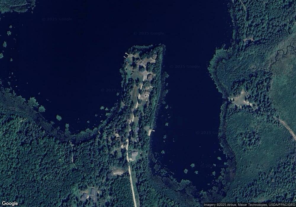
Map
Nearby Homes
- 8909 Palm Rd
- 8621 W Donnywood Cir
- TBD Sherwood Anderson Rd
- TBD Samuelson Road-Sec22
- 9141 Burghardt Rd
- Us-53
- Us-53
- Sec: 2 TWP: 61.0 RG:
- 809 16th St N
- 1007 13th St N
- 729 15th St N
- 1408 N 7th Ave
- 829 13th St N
- 818 13th St N
- 5451 Garden Dr N
- 723 12th St N
- 303 Fairview Cir N
- 87XX Arbor Ln
- 805 8th St N
- 5474 Jade Ln