Estimated Value: $562,000 - $717,000
4
Beds
3
Baths
3,135
Sq Ft
$209/Sq Ft
Est. Value
About This Home
This home is located at 7499 S Point Ln, Britt, MN 55710 and is currently estimated at $655,690, approximately $209 per square foot. 7499 S Point Ln is a home located in St. Louis County with nearby schools including Parkview Elementary School and Rock Ridge High School.
Ownership History
Date
Name
Owned For
Owner Type
Purchase Details
Closed on
Aug 31, 2001
Sold by
Flannigan Rodney L and Flannigan Donna K
Bought by
Bialke Christopher and Bialke Alyson
Current Estimated Value
Home Financials for this Owner
Home Financials are based on the most recent Mortgage that was taken out on this home.
Original Mortgage
$200,000
Outstanding Balance
$77,001
Interest Rate
6.97%
Estimated Equity
$578,689
Create a Home Valuation Report for This Property
The Home Valuation Report is an in-depth analysis detailing your home's value as well as a comparison with similar homes in the area
Purchase History
| Date | Buyer | Sale Price | Title Company |
|---|---|---|---|
| Bialke Christopher | $250,000 | -- |
Source: Public Records
Mortgage History
| Date | Status | Borrower | Loan Amount |
|---|---|---|---|
| Open | Bialke Christopher | $200,000 |
Source: Public Records
Tax History
| Year | Tax Paid | Tax Assessment Tax Assessment Total Assessment is a certain percentage of the fair market value that is determined by local assessors to be the total taxable value of land and additions on the property. | Land | Improvement |
|---|---|---|---|---|
| 2024 | $6,268 | $603,500 | $156,700 | $446,800 |
| 2023 | $6,268 | $604,600 | $156,700 | $447,900 |
| 2022 | $6,652 | $604,600 | $156,700 | $447,900 |
| 2021 | $6,206 | $514,900 | $133,500 | $381,400 |
| 2020 | $6,222 | $514,900 | $133,500 | $381,400 |
| 2019 | $5,460 | $485,300 | $137,400 | $347,900 |
| 2018 | $5,606 | $485,300 | $137,400 | $347,900 |
| 2017 | $5,644 | $485,300 | $137,400 | $347,900 |
| 2016 | $5,338 | $485,300 | $137,400 | $347,900 |
| 2015 | $3,547 | $440,300 | $131,700 | $308,600 |
| 2014 | $3,547 | $327,700 | $108,200 | $219,500 |
Source: Public Records
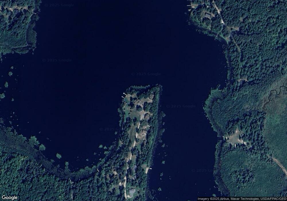
Map
Nearby Homes
- 8909 Palm Rd
- 8621 W Donnywood Cir
- TBD Sherwood Anderson Rd
- 6545 Holly Dr
- TBD Samuelson Road-Sec22
- TBD Heino Rd
- 6457 Colombe Rd
- Sec: 2 TWP: 61.0 RG:
- 809 16th St N
- 729 15th St N
- 1504 N 8th Ave
- 1408 N 7th Ave
- 5451 Garden Dr N
- 824 12th St N
- 723 12th St N
- 303 Fairview Cir N
- 701 10th St N
- 87XX Arbor Ln
- 5495 Daffodil Ave
- 5483 Carnation Ave
- 7490 S Point Ln
- 7478 S Point Ln
- 7477 S Point Ln
- 7470 S Point Ln
- 7470 S Point Ln
- 7527 Matson Rd
- 7521 Matson Rd
- 7531 Matson Rd
- 7516 Matson Rd
- 7533 Matson Rd
- 9229 Biss Rd
- 7541 Matson Rd
- 9196 Ketola Rd
- 9298 Ketola Rd
- 9292 Ketola Rd
- 9232 Ketola Rd
- 9204 Ketola Rd
- 9162 Ketola Rd
- 9250 Ketola Rd
- 9220 Ketola Rd
Your Personal Tour Guide
Ask me questions while you tour the home.