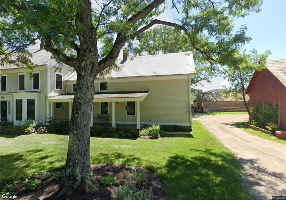
75 Bascom Rd Gill, MA 01354
Gill NeighborhoodEstimated Value: $440,291 - $606,000
7
Beds
2
Baths
3,220
Sq Ft
$163/Sq Ft
Est. Value
About This Home
This home is located at 75 Bascom Rd, Gill, MA 01354 and is currently estimated at $524,097, approximately $162 per square foot. 75 Bascom Rd is a home located in Franklin County with nearby schools including Turners Fall High School, Greenfield Center School, and Full Circle School.
Ownership History
Date
Name
Owned For
Owner Type
Purchase Details
Closed on
Jul 10, 2007
Sold by
Bascom Hollow Farm Llc
Bought by
Donahue Brian and Rand Faith B
Current Estimated Value
Purchase Details
Closed on
Jun 11, 2003
Sold by
Worthington Paul J
Bought by
Worthington Anne Marie and Worthington Paul J
Home Financials for this Owner
Home Financials are based on the most recent Mortgage that was taken out on this home.
Original Mortgage
$195,000
Interest Rate
5.77%
Mortgage Type
Purchase Money Mortgage
Create a Home Valuation Report for This Property
The Home Valuation Report is an in-depth analysis detailing your home's value as well as a comparison with similar homes in the area
Home Values in the Area
Average Home Value in this Area
Purchase History
| Date | Buyer | Sale Price | Title Company |
|---|---|---|---|
| Donahue Brian | -- | -- | |
| Meyer Joan | -- | -- | |
| Bascom Hollow Farm Llc | $840,000 | -- | |
| Worthington Anne Marie | $350,000 | -- |
Source: Public Records
Mortgage History
| Date | Status | Borrower | Loan Amount |
|---|---|---|---|
| Previous Owner | Worthington Anne Marie | $195,000 |
Source: Public Records
Tax History
| Year | Tax Paid | Tax Assessment Tax Assessment Total Assessment is a certain percentage of the fair market value that is determined by local assessors to be the total taxable value of land and additions on the property. | Land | Improvement |
|---|---|---|---|---|
| 2025 | $5,634 | $384,300 | $94,000 | $290,300 |
| 2024 | $5,404 | $349,100 | $89,100 | $260,000 |
| 2023 | $37 | $318,500 | $81,000 | $237,500 |
| 2022 | $5,041 | $302,600 | $77,200 | $225,400 |
| 2021 | $5,064 | $292,900 | $77,200 | $215,700 |
| 2020 | $34 | $285,200 | $73,500 | $211,700 |
| 2019 | $34 | $261,800 | $70,000 | $191,800 |
| 2018 | $35 | $241,900 | $70,000 | $171,900 |
| 2017 | $38 | $241,900 | $70,000 | $171,900 |
| 2016 | $3,882 | $230,400 | $75,000 | $155,400 |
| 2015 | $3,613 | $214,400 | $75,000 | $139,400 |
Source: Public Records
Map
Nearby Homes
- 47 Cross St
- 001 Adams Rd
- 182 Main Rd
- 23 Industrial Dr
- 75 South St Unit 3
- 1 Northfield Rd
- 0 Fox Hill Rd Unit 73477185
- 90 Bald Mountain Rd
- 52 Canada Hill Rd
- 696 Bernardston Rd
- 72 Meadowood Dr
- 34 Brookside Ave
- 539 Fox Hill Rd
- 0 Millers Falls Rd Unit 73034825
- 40 Shedd Rd
- 45 Millers Falls Rd
- Lot 9 Fox Hill Rd (Off)
- 8 Country Club Ln
- 2 Alice St
- 372 Federal St
- 71 Bascom Rd
- 1 Bascom Rd
- 40 Atherton Rd
- 33 Atherton Rd
- 675 Lampblack Rd
- 671 Lampblack Rd
- 4 Lampblack Rd
- 12E Lampblack Rd
- 2 Lamp Black Rd
- 599 Lampblack Rd
- 672 Lampblack Rd
- 695 Lampblack Rd
- 650 Lampblack Rd
- 40 Bascom Rd
- 692 Lampblack Rd
- 705 Lampblack Rd
- 711 Lampblack Rd
- 588 Lampblack Rd
- 725 Lampblack Rd
- 29 Atherton Rd
Your Personal Tour Guide
Ask me questions while you tour the home.