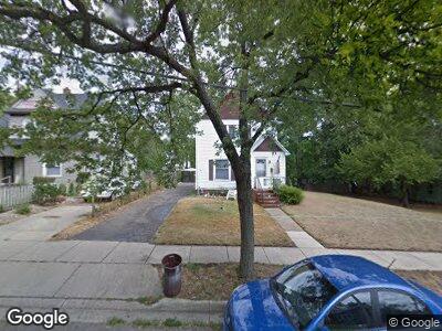
75 Byron St Battle Creek, MI 49017
Estimated Value: $88,542 - $120,000
3
Beds
2
Baths
1,298
Sq Ft
$81/Sq Ft
Est. Value
About This Home
This home is located at 75 Byron St, Battle Creek, MI 49017 and is currently estimated at $104,886, approximately $80 per square foot. 75 Byron St is a home located in Calhoun County with nearby schools including Verona Elementary School, Northwestern Middle School, and Battle Creek Central High School.
Ownership History
Date
Name
Owned For
Owner Type
Purchase Details
Closed on
Jul 28, 2009
Sold by
Red Door Real Estate Llc
Bought by
Stemaly Maryetta L
Current Estimated Value
Purchase Details
Closed on
Nov 21, 2005
Sold by
Mortgage Electronic Registration Systems
Bought by
Bank Of New York and Cwabs Series 2003-Bc3
Purchase Details
Closed on
Nov 18, 2005
Sold by
Hurtado Samuel and Hurtado Raquel
Bought by
Mortgage Electronic Registration Systems
Purchase Details
Closed on
Nov 30, 2000
Sold by
Sperti Helen
Bought by
Hurtado Samuel
Purchase Details
Closed on
Dec 24, 1999
Sold by
Sperti Francis S
Create a Home Valuation Report for This Property
The Home Valuation Report is an in-depth analysis detailing your home's value as well as a comparison with similar homes in the area
Home Values in the Area
Average Home Value in this Area
Purchase History
| Date | Buyer | Sale Price | Title Company |
|---|---|---|---|
| Stemaly Maryetta L | $30,000 | Devon Title Agency | |
| Bank Of New York | -- | None Available | |
| Mortgage Electronic Registration Systems | $66,187 | -- | |
| Hurtado Samuel | $51,000 | -- | |
| -- | -- | -- |
Source: Public Records
Tax History Compared to Growth
Tax History
| Year | Tax Paid | Tax Assessment Tax Assessment Total Assessment is a certain percentage of the fair market value that is determined by local assessors to be the total taxable value of land and additions on the property. | Land | Improvement |
|---|---|---|---|---|
| 2024 | $664 | $27,034 | $0 | $0 |
| 2023 | $759 | $24,513 | $0 | $0 |
| 2022 | $600 | $19,042 | $0 | $0 |
| 2021 | $716 | $17,651 | $0 | $0 |
| 2020 | $674 | $16,596 | $0 | $0 |
| 2019 | $677 | $16,171 | $0 | $0 |
| 2018 | $677 | $14,488 | $838 | $13,650 |
| 2017 | $683 | $16,100 | $0 | $0 |
| 2016 | $682 | $18,380 | $0 | $0 |
| 2015 | $668 | $19,274 | $2,293 | $16,981 |
| 2014 | $668 | $14,502 | $2,293 | $12,209 |
Source: Public Records
Map
Nearby Homes
- 15 Broad St S
- 85 Mckinley Ave S
- 81 & 79 S Mckinley
- 25 East Ave S
- 45 Merritt St
- 48 Union St N
- 84 Magnolia Ave
- 38 East Ave N
- 28 Orchard Place
- 24 Poplar St
- 40 Poplar St
- 25 Orchard Place
- 31 Orchard Place
- 120 Radley St
- 298 Capital Ave NE
- 29 Wren St
- 286 Capital Ave NE
- 132 Union St N
- 131 Mckinley Ave N
- 174 Cherry St