Estimated Value: $319,000 - $345,940
2
Beds
1
Bath
1,204
Sq Ft
$278/Sq Ft
Est. Value
About This Home
This home is located at 75 Dugan Rd, Ware, MA 01082 and is currently estimated at $334,735, approximately $278 per square foot. 75 Dugan Rd is a home located in Hampshire County with nearby schools including Stanley M. Koziol Elementary School, Ware Middle School, and Ware Junior/Senior High School.
Ownership History
Date
Name
Owned For
Owner Type
Purchase Details
Closed on
Jan 24, 2007
Sold by
Administrator-Letendre J
Bought by
Madigan David P
Current Estimated Value
Home Financials for this Owner
Home Financials are based on the most recent Mortgage that was taken out on this home.
Original Mortgage
$100,000
Outstanding Balance
$59,560
Interest Rate
6.15%
Mortgage Type
Purchase Money Mortgage
Estimated Equity
$275,175
Create a Home Valuation Report for This Property
The Home Valuation Report is an in-depth analysis detailing your home's value as well as a comparison with similar homes in the area
Home Values in the Area
Average Home Value in this Area
Purchase History
| Date | Buyer | Sale Price | Title Company |
|---|---|---|---|
| Madigan David P | $169,925 | -- |
Source: Public Records
Mortgage History
| Date | Status | Borrower | Loan Amount |
|---|---|---|---|
| Open | Madigan David P | $100,000 |
Source: Public Records
Tax History Compared to Growth
Tax History
| Year | Tax Paid | Tax Assessment Tax Assessment Total Assessment is a certain percentage of the fair market value that is determined by local assessors to be the total taxable value of land and additions on the property. | Land | Improvement |
|---|---|---|---|---|
| 2025 | $3,773 | $250,500 | $53,300 | $197,200 |
| 2024 | $3,646 | $223,300 | $50,300 | $173,000 |
| 2023 | $3,649 | $211,400 | $48,500 | $162,900 |
| 2022 | $3,574 | $184,800 | $44,900 | $139,900 |
| 2021 | $3,612 | $173,400 | $44,900 | $128,500 |
| 2020 | $3,410 | $165,300 | $44,900 | $120,400 |
| 2019 | $3,404 | $165,300 | $44,900 | $120,400 |
| 2018 | $3,241 | $156,500 | $43,700 | $112,800 |
| 2017 | $3,167 | $147,000 | $43,700 | $103,300 |
| 2016 | $2,971 | $147,000 | $43,700 | $103,300 |
| 2015 | $2,889 | $147,000 | $43,700 | $103,300 |
| 2014 | $2,851 | $155,700 | $44,600 | $111,100 |
Source: Public Records
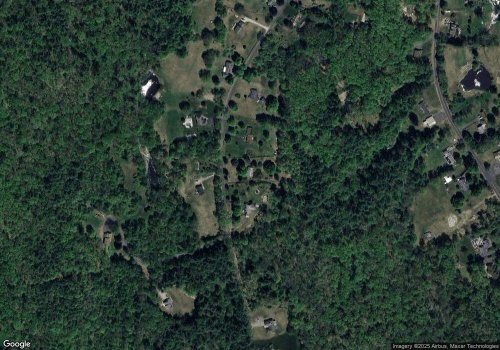
Map
Nearby Homes
- 375 Belchertown Rd
- 67 Babcock Tavern Rd
- Lot 16 Coldbrook Dr
- Lot 20 Coldbrook Dr
- Lot 22 Coldbrook Dr
- Lot 13 Coldbrook Dr
- Lot 25 Coldbrook Dr
- 201 West St
- 201 Belchertown Rd
- 28 Gould St
- LOT 3 Monson Turnpike Rd
- 87 W Main St
- 20 Indian Hill Rd
- 14 Laurel Dr
- 248 Monson Turnpike Rd
- 0 Beach Rd
- 57 Babcock Tavern Rd
- 49 Babcock Tavern Rd
- 23 West St Unit 25
- 7 Webb Ct