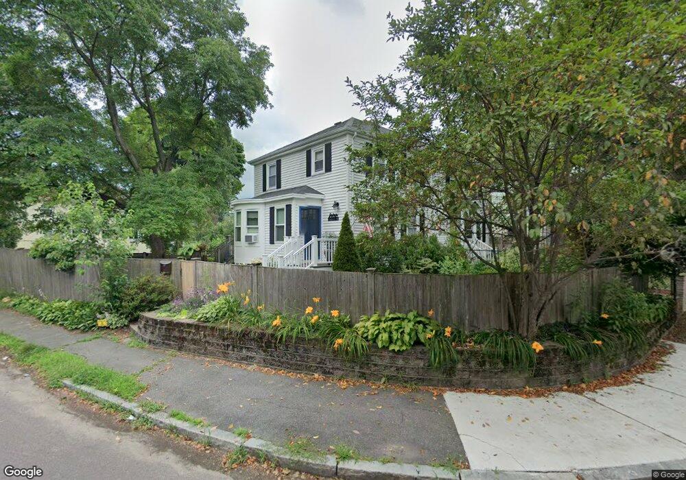
75 Fremont St Arlington, MA 02474
East Arlington NeighborhoodEstimated Value: $630,000 - $734,000
2
Beds
2
Baths
802
Sq Ft
$840/Sq Ft
Est. Value
About This Home
This home is located at 75 Fremont St, Arlington, MA 02474 and is currently estimated at $673,831, approximately $840 per square foot. 75 Fremont St is a home located in Middlesex County with nearby schools including Thompson School, Ottoson Middle School, and Arlington High School.
Ownership History
Date
Name
Owned For
Owner Type
Purchase Details
Closed on
Nov 5, 2021
Sold by
Lane Jessica W
Bought by
Jessica Weaver Lane T and Jessica Weaver-Lane
Current Estimated Value
Purchase Details
Closed on
Jan 6, 2006
Sold by
Miner Lisa B and Figueroa Sandra
Bought by
Lane Jessica Weaver
Home Financials for this Owner
Home Financials are based on the most recent Mortgage that was taken out on this home.
Original Mortgage
$215,000
Interest Rate
6.28%
Mortgage Type
Purchase Money Mortgage
Purchase Details
Closed on
May 30, 1997
Sold by
Kathryn A Barry T A and Kathryn Barry
Bought by
Miner Lisa B and Figueroa Sandra
Home Financials for this Owner
Home Financials are based on the most recent Mortgage that was taken out on this home.
Original Mortgage
$122,550
Interest Rate
8.09%
Mortgage Type
Purchase Money Mortgage
Create a Home Valuation Report for This Property
The Home Valuation Report is an in-depth analysis detailing your home's value as well as a comparison with similar homes in the area
Home Values in the Area
Average Home Value in this Area
Purchase History
| Date | Buyer | Sale Price | Title Company |
|---|---|---|---|
| Jessica Weaver Lane T | -- | None Available | |
| Lane Jessica Weaver | $295,000 | -- | |
| Miner Lisa B | $129,000 | -- |
Source: Public Records
Mortgage History
| Date | Status | Borrower | Loan Amount |
|---|---|---|---|
| Previous Owner | Miner Lisa B | $211,400 | |
| Previous Owner | Lane Jessica Weaver | $215,000 | |
| Previous Owner | Miner Lisa B | $33,000 | |
| Previous Owner | Miner Lisa B | $121,600 | |
| Previous Owner | Miner Lisa B | $122,550 |
Source: Public Records
Tax History Compared to Growth
Tax History
| Year | Tax Paid | Tax Assessment Tax Assessment Total Assessment is a certain percentage of the fair market value that is determined by local assessors to be the total taxable value of land and additions on the property. | Land | Improvement |
|---|---|---|---|---|
| 2025 | $6,648 | $617,300 | $437,700 | $179,600 |
| 2024 | $6,048 | $571,100 | $415,800 | $155,300 |
| 2023 | $5,875 | $524,100 | $372,100 | $152,000 |
| 2022 | $5,652 | $494,900 | $350,200 | $144,700 |
| 2021 | $5,612 | $494,900 | $350,200 | $144,700 |
| 2020 | $5,476 | $495,100 | $350,200 | $144,900 |
| 2019 | $8,866 | $431,900 | $317,400 | $114,500 |
| 2018 | $7,647 | $415,400 | $300,900 | $114,500 |
| 2017 | $4,587 | $365,200 | $262,600 | $102,600 |
| 2016 | $4,184 | $326,900 | $224,300 | $102,600 |
| 2015 | $3,944 | $291,100 | $207,900 | $83,200 |
Source: Public Records
Map
Nearby Homes
- 327 Alewife Brook Pkwy Unit A
- 69 Sterling St
- 16 High St Unit 2
- 21 High St
- 2 Norcross Cir Unit 4
- 79 Fairfax St Unit 79
- 31 Fairfax St
- 233 Powder House Blvd
- 6 Gordon Rd
- 80 Broadway Unit 4C
- 80 Broadway Unit PH
- 65 Marathon St Unit L
- 9 Woods Ave
- 63 Marathon St Unit R
- 54 Marathon St Unit 1
- 395 Alewife Brook Pkwy Unit PH E
- 62-64 Waldo Rd
- 16 Hamilton Rd
- 33 Hamilton St
- 33 Hamilton St Unit 2
- 73 Fremont St
- 73 Fremont St Unit 73
- 71 Fremont St
- 16 Marrigan St
- 16 Marrigan St Unit 1
- 14 Marrigan St
- 18 Marrigan St
- 65 Sunnyside Ave
- 63 Sunnyside Ave
- 61 Sunnyside Ave
- 69 Fremont St
- 12 Marrigan St
- 67 Sunnyside Ave
- 69 Sunnyside Ave
- 10 Marrigan St
- 67 Fremont St
- 71 Sunnyside Ave
- 73 Sunnyside Ave
- 75 Sunnyside Ave
- 59 Sunnyside Ave