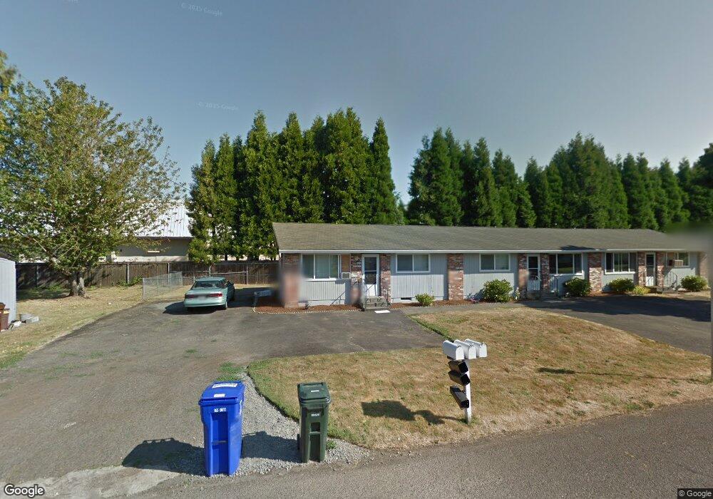
75 NW 15th St Unit 95 Gresham, OR 97030
Downtown Gresham NeighborhoodEstimated Value: $534,000 - $737,000
6
Beds
3
Baths
2,340
Sq Ft
$256/Sq Ft
Est. Value
About This Home
This home is located at 75 NW 15th St Unit 95, Gresham, OR 97030 and is currently estimated at $598,566, approximately $255 per square foot. 75 NW 15th St Unit 95 is a home located in Multnomah County with nearby schools including Highland Elementary School, Clear Creek Middle School, and Gresham High School.
Ownership History
Date
Name
Owned For
Owner Type
Purchase Details
Closed on
Jul 28, 2017
Sold by
Muro Ron and Muro Olivia
Bought by
Ronald W Muro Trust
Current Estimated Value
Purchase Details
Closed on
May 4, 2005
Sold by
Mccloyn Rudy E
Bought by
Muro Ron and Muro Olivia
Home Financials for this Owner
Home Financials are based on the most recent Mortgage that was taken out on this home.
Original Mortgage
$147,950
Outstanding Balance
$77,535
Interest Rate
6.02%
Mortgage Type
Fannie Mae Freddie Mac
Estimated Equity
$521,031
Purchase Details
Closed on
Jun 18, 2001
Sold by
Mccloyn Rudy E
Bought by
Mccloyn Rudy E and Mccloyn Helen M
Home Financials for this Owner
Home Financials are based on the most recent Mortgage that was taken out on this home.
Original Mortgage
$133,000
Interest Rate
7.15%
Mortgage Type
Purchase Money Mortgage
Create a Home Valuation Report for This Property
The Home Valuation Report is an in-depth analysis detailing your home's value as well as a comparison with similar homes in the area
Home Values in the Area
Average Home Value in this Area
Purchase History
| Date | Buyer | Sale Price | Title Company |
|---|---|---|---|
| Ronald W Muro Trust | -- | None Available | |
| Muro Ron | $244,900 | Pacific Nw Title | |
| Mccloyn Rudy E | -- | -- |
Source: Public Records
Mortgage History
| Date | Status | Borrower | Loan Amount |
|---|---|---|---|
| Open | Muro Ron | $147,950 | |
| Previous Owner | Mccloyn Rudy E | $133,000 |
Source: Public Records
Tax History
| Year | Tax Paid | Tax Assessment Tax Assessment Total Assessment is a certain percentage of the fair market value that is determined by local assessors to be the total taxable value of land and additions on the property. | Land | Improvement |
|---|---|---|---|---|
| 2025 | $5,839 | $286,950 | -- | -- |
| 2024 | $5,590 | $278,600 | -- | -- |
| 2023 | $5,093 | $270,490 | $0 | $0 |
| 2022 | $4,950 | $262,620 | $0 | $0 |
| 2021 | $4,826 | $254,980 | $0 | $0 |
| 2020 | $4,541 | $247,560 | $0 | $0 |
| 2019 | $4,422 | $240,350 | $0 | $0 |
| 2018 | $4,216 | $233,350 | $0 | $0 |
| 2017 | $4,045 | $226,560 | $0 | $0 |
| 2016 | $3,567 | $219,970 | $0 | $0 |
Source: Public Records
Map
Nearby Homes
- 54 NW 13th St
- 1783 1791 NE Beech Place
- 824 NW Mignonette Ave
- 450 NE 22nd St
- 0 NE 5th St
- 660 NE 9th St
- 210 NE 5th St
- 894 NE Linden Ave
- 1035 SE 225th Ave
- 318 NE Roberts Ave Unit 308
- 318 NE Roberts Ave Unit 203
- 535 NE 24th St
- 491 NE Elliott Ave
- 2021 NE Liberty Ave
- 1325 NW 9th St
- 21033 SE Clay Ct
- 2775 NE Linden Ave
- 234 NE Cleveland Ave
- 0 NE 6th St
- 21532 SE Alder St
- 45 NW 15th St
- 100 NW 15th St
- 96 NW 15th St
- 46 NW 15th St
- 23 NW 15th St
- 65 NW 14th Place Unit 67
- 85 NW 14th Place Unit 87
- 1463 N Main Ave
- 1453 N Main Ave
- 125 NW 14th Place
- 115 NW 15th St
- 84 NW 14th Place Unit 86
- 64 NW 14th Place Unit 66
- 141 NW 14th Place Unit 143
- 120 NW 14th Place
- 1431 N Main Ave
- 1331 N Main Ave
- 112 NW 15th St
- 161 NW 14th Place Unit 171
- 105 NW 13th St
Your Personal Tour Guide
Ask me questions while you tour the home.