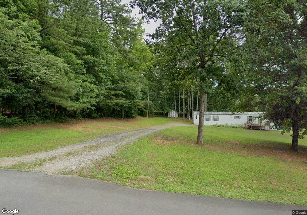
75 W Gordon Rd Jasper, GA 30143
Estimated Value: $289,000 - $392,888
Studio
2
Baths
1,360
Sq Ft
$245/Sq Ft
Est. Value
About This Home
This home is located at 75 W Gordon Rd, Jasper, GA 30143 and is currently estimated at $333,222, approximately $245 per square foot. 75 W Gordon Rd is a home located in Pickens County with nearby schools including Harmony Elementary School, Pickens County Middle School, and Pickens County High School.
Ownership History
Date
Name
Owned For
Owner Type
Purchase Details
Closed on
Nov 14, 2003
Sold by
Vonwindeguth Angelina B
Bought by
Mcdaniel Frank and Abbott James M
Current Estimated Value
Purchase Details
Closed on
Jul 24, 2003
Bought by
Vonwindeguth Angelina B
Purchase Details
Closed on
Mar 7, 1989
Bought by
Weeks Steve and Weeks Jane
Purchase Details
Closed on
May 8, 1987
Bought by
Coulter Delbert E and Coulter Sarah F
Create a Home Valuation Report for This Property
The Home Valuation Report is an in-depth analysis detailing your home's value as well as a comparison with similar homes in the area
Home Values in the Area
Average Home Value in this Area
Purchase History
| Date | Buyer | Sale Price | Title Company |
|---|---|---|---|
| Mcdaniel Frank | $77,700 | -- | |
| Vonwindeguth Angelina B | -- | -- | |
| Weeks Steve | $17,500 | -- | |
| Coulter Delbert E | $9,000 | -- |
Source: Public Records
Tax History
| Year | Tax Paid | Tax Assessment Tax Assessment Total Assessment is a certain percentage of the fair market value that is determined by local assessors to be the total taxable value of land and additions on the property. | Land | Improvement |
|---|---|---|---|---|
| 2025 | $2,476 | $136,699 | $41,440 | $95,259 |
| 2024 | $2,705 | $136,699 | $41,440 | $95,259 |
| 2023 | $2,780 | $136,699 | $41,440 | $95,259 |
| 2022 | $2,238 | $110,023 | $41,440 | $68,583 |
| 2021 | $2,104 | $96,567 | $41,440 | $55,127 |
| 2020 | $2,167 | $96,567 | $41,440 | $55,127 |
| 2019 | $2,217 | $96,567 | $41,440 | $55,127 |
| 2018 | $2,238 | $96,567 | $41,440 | $55,127 |
| 2017 | $2,274 | $96,567 | $41,440 | $55,127 |
| 2016 | $2,311 | $96,567 | $41,440 | $55,127 |
| 2015 | $2,257 | $96,567 | $41,440 | $55,127 |
| 2014 | $2,262 | $96,567 | $41,440 | $55,127 |
| 2013 | -- | $96,566 | $41,440 | $55,126 |
Source: Public Records
Map
Nearby Homes
- 12 Sammy McGhee Blvd Unit 203
- 9 Summit St Unit 9
- 7 Noah Dr
- 324 Northside Dr
- 190 Northside Dr
- 5566 Red Fox Ln
- 2668 Highland Trail
- 5574 Red Fox Ln
- 321 Owls Brow
- 80 Mountain Mint Dr
- 280 Vistaview Pkwy
- 0 Mulberry Cir Unit 409241
- 0 Wilderness Pkwy Unit 7690731
- 387 Windflower Dr
- 0 Lower Sassafras Pkwy Unit 24570415
- 279 Vistaview Pkwy
- 0 Mulberry Cir Unit 10675471
- 278 Vista View Pkwy
- 4544 Sassafras Ct
- 57 Mountain View Cir
