75 West Point Rd Moultonborough, NH 03254
Estimated Value: $663,000 - $812,000
3
Beds
2
Baths
2,481
Sq Ft
$310/Sq Ft
Est. Value
About This Home
This home is located at 75 West Point Rd, Moultonborough, NH 03254 and is currently estimated at $769,725, approximately $310 per square foot. 75 West Point Rd is a home located in Carroll County with nearby schools including Moultonborough Central School and Moultonborough Academy High School.
Ownership History
Date
Name
Owned For
Owner Type
Purchase Details
Closed on
Dec 18, 2017
Sold by
Macinnis Robert L and Macinnis Martha L
Bought by
Detorie Frank and Detorie Darci M
Current Estimated Value
Home Financials for this Owner
Home Financials are based on the most recent Mortgage that was taken out on this home.
Original Mortgage
$339,800
Interest Rate
3.94%
Mortgage Type
VA
Purchase Details
Closed on
Aug 20, 2015
Sold by
Tyo Ernest A and Tyo Linda S
Bought by
Macinnis Robert L and Giroux Martha
Home Financials for this Owner
Home Financials are based on the most recent Mortgage that was taken out on this home.
Original Mortgage
$199,920
Interest Rate
4.07%
Mortgage Type
New Conventional
Create a Home Valuation Report for This Property
The Home Valuation Report is an in-depth analysis detailing your home's value as well as a comparison with similar homes in the area
Home Values in the Area
Average Home Value in this Area
Purchase History
| Date | Buyer | Sale Price | Title Company |
|---|---|---|---|
| Detorie Frank | $365,000 | -- | |
| Macinnis Robert L | $249,933 | -- |
Source: Public Records
Mortgage History
| Date | Status | Borrower | Loan Amount |
|---|---|---|---|
| Open | Detorie Frank | $321,039 | |
| Closed | Detorie Frank | $339,800 | |
| Previous Owner | Macinnis Robert L | $199,920 |
Source: Public Records
Tax History Compared to Growth
Tax History
| Year | Tax Paid | Tax Assessment Tax Assessment Total Assessment is a certain percentage of the fair market value that is determined by local assessors to be the total taxable value of land and additions on the property. | Land | Improvement |
|---|---|---|---|---|
| 2024 | $2,675 | $473,500 | $183,200 | $290,300 |
| 2023 | $2,407 | $422,300 | $140,200 | $282,100 |
| 2022 | $1,823 | $381,300 | $126,200 | $255,100 |
| 2021 | $2,240 | $320,900 | $103,100 | $217,800 |
| 2020 | $2,100 | $294,600 | $92,800 | $201,800 |
| 2019 | $2,028 | $283,700 | $92,800 | $190,900 |
| 2018 | $2,108 | $273,100 | $85,900 | $187,200 |
| 2017 | $2,170 | $264,000 | $85,900 | $178,100 |
| 2016 | $1,924 | $220,100 | $85,900 | $134,200 |
| 2015 | $1,831 | $203,200 | $81,100 | $122,100 |
| 2014 | $1,747 | $197,200 | $81,100 | $116,100 |
| 2013 | $1,714 | $197,200 | $81,100 | $116,100 |
Source: Public Records
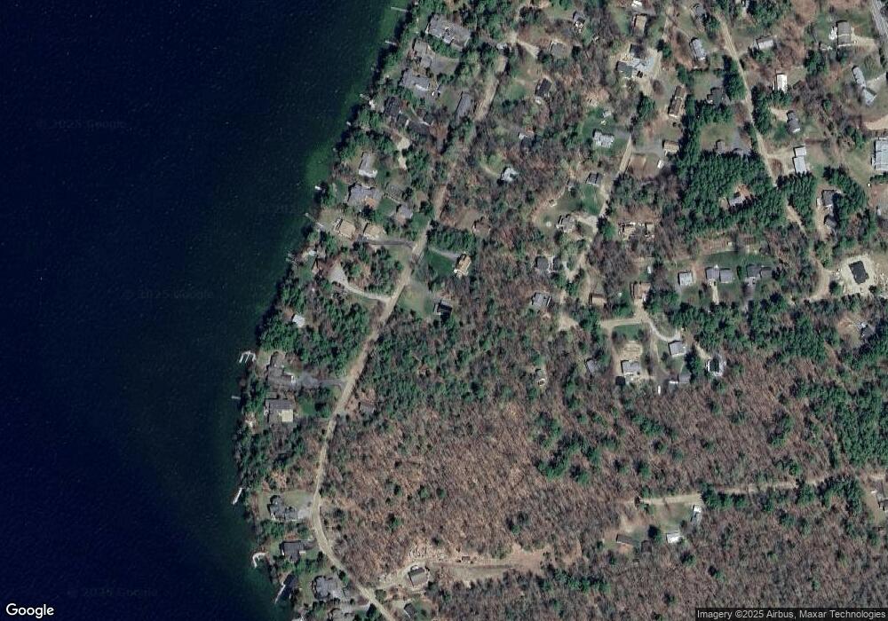
Map
Nearby Homes
- 62 W Point Rd
- 130 W Point Rd
- 19 Alderberry Ln
- 10 Woodridge Rd
- 167 Long Island Rd
- 42 High Ridge Rd
- 109 Leaward Shores Rd
- 00 Moultonboro Neck Rd Unit 2
- 00 Moultonboro Neck Rd
- 16 Long Island Rd
- 00 Rivers Rd
- 00 Beede Rd
- 9 Starboard Ln Unit 1
- 65 Beede Rd
- 11 Portside Dr Unit 4
- 47 Pot O Beans Rd
- 35 Echo Landing Rd
- 484 Long Island Rd
- 23 Harbourside Dr
- 31 Rays Way
- 75 W Point Rd
- 71 West Point Rd
- 69 West Point Rd
- 64 Woodrin Rd
- 76 W Point Rd
- 68 Woodrin Rd
- 70 West Point Rd
- 85 W Point Rd
- 62 Woodrin Rd
- 76 West Point Rd
- 1 Devens Island
- 80 West Point Rd
- 61 West Point Rd
- 61 W Point Rd
- 50 Woodrin Rd
- 71 Woodrin Rd
- 70 Woodrin Rd
- 66 West Point Rd
- 64 W Point Rd
- 88 W Point Rd