750 E Davis Rd Unit Bldg-Unit Howell, MI 48843
Estimated Value: $375,628 - $509,000
Studio
2
Baths
1,500
Sq Ft
$282/Sq Ft
Est. Value
About This Home
This home is located at 750 E Davis Rd Unit Bldg-Unit, Howell, MI 48843 and is currently estimated at $423,657, approximately $282 per square foot. 750 E Davis Rd Unit Bldg-Unit is a home located in Livingston County with nearby schools including Parker Middle School and Howell High School.
Ownership History
Date
Name
Owned For
Owner Type
Purchase Details
Closed on
Jun 3, 2020
Sold by
Applin John Michael and Applin Amy Sitner
Bought by
Pettit Brandon
Current Estimated Value
Purchase Details
Closed on
Apr 18, 2018
Sold by
Mithcell Philip S
Bought by
Applin John M and Sitner-Applin Amy
Purchase Details
Closed on
Mar 13, 2001
Sold by
Dankovic John J and Dankovic Lucille P
Bought by
Wolf Terry and Wolf Judy
Create a Home Valuation Report for This Property
The Home Valuation Report is an in-depth analysis detailing your home's value as well as a comparison with similar homes in the area
Home Values in the Area
Average Home Value in this Area
Purchase History
| Date | Buyer | Sale Price | Title Company |
|---|---|---|---|
| Pettit Brandon | $259,000 | First American Title Ins Co | |
| Applin John M | $235,600 | -- | |
| Wolf Terry | $158,000 | Titleamerica |
Source: Public Records
Tax History
| Year | Tax Paid | Tax Assessment Tax Assessment Total Assessment is a certain percentage of the fair market value that is determined by local assessors to be the total taxable value of land and additions on the property. | Land | Improvement |
|---|---|---|---|---|
| 2025 | $1,975 | $158,800 | $0 | $0 |
| 2024 | $1,919 | $158,700 | $0 | $0 |
| 2023 | $1,833 | $125,600 | $0 | $0 |
| 2022 | $2,493 | $118,700 | $0 | $0 |
| 2021 | $2,614 | $118,700 | $0 | $0 |
| 2020 | $2,651 | $120,600 | $0 | $0 |
| 2019 | $2,374 | $103,900 | $0 | $0 |
| 2018 | $2,085 | $102,400 | $0 | $0 |
| 2017 | $2,058 | $97,000 | $0 | $0 |
| 2016 | $2,047 | $92,400 | $0 | $0 |
| 2014 | $1,826 | $86,700 | $0 | $0 |
| 2012 | $1,826 | $88,400 | $0 | $0 |
Source: Public Records
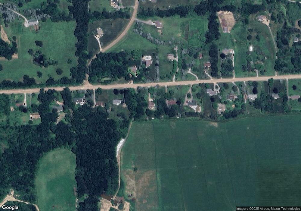
Map
Nearby Homes
- 0000 Crooked Lake Rd
- 3530 Kipling Cir
- 2551 Pardee Rd
- 513 Round Rock Dr
- MOH 78 Round Rock Dr
- LOT 73 Round Rock
- 2315 Gilder Dr
- 2323 Gilder Dr
- 340 Mcdowell Dr
- 2298 Gilder Dr
- 2324 Gilder Dr
- 2288 Gilder Dr
- 331 Mcdowell Dr
- The Dunes Plan at Marion Oaks - The Links
- The Arcadia Plan at Marion Oaks - The Links
- The Bear Plan at Marion Oaks - The Links
- 4315 Gale Dr
- 2105 Webster Park Dr
- 652 Round Rock Dr
- 659 Round Rock Dr
- 750 E Davis Rd
- 800 E Davis Rd
- 684 E Davis Rd
- 820 E Davis Rd
- 638 E Davis Rd
- 699 E Davis Rd
- 723 E Davis Rd
- 827 E Davis Rd
- 840 E Davis Rd
- 590 E Davis Rd
- 825 E Davis Rd
- 843 E Davis Rd
- 950 E Davis Rd
- 542 E Davis Rd
- 2930 Harvest Dr
- 2883 Harvest Dr
- 2871 Harvest Dr
- 500 E Davis Rd
- 990 E Davis Rd
- 865 E Davis Rd
Your Personal Tour Guide
Ask me questions while you tour the home.