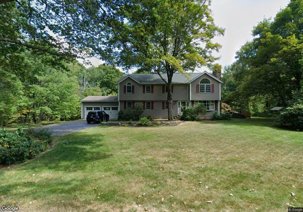
750 South Rd Templeton, MA 01468
Estimated Value: $543,000 - $580,000
2
Beds
1
Bath
2,792
Sq Ft
$201/Sq Ft
Est. Value
About This Home
This home is located at 750 South Rd, Templeton, MA 01468 and is currently estimated at $561,951, approximately $201 per square foot. 750 South Rd is a home located in Worcester County with nearby schools including Narragansett Regional High School.
Ownership History
Date
Name
Owned For
Owner Type
Purchase Details
Closed on
Feb 24, 2014
Sold by
Jasinski John S
Bought by
Jasinski John S and Jasinski Anne
Current Estimated Value
Home Financials for this Owner
Home Financials are based on the most recent Mortgage that was taken out on this home.
Original Mortgage
$40,000
Interest Rate
4.5%
Mortgage Type
New Conventional
Purchase Details
Closed on
Jul 26, 1983
Bought by
Jasinski John S and Jasinski Anne
Create a Home Valuation Report for This Property
The Home Valuation Report is an in-depth analysis detailing your home's value as well as a comparison with similar homes in the area
Home Values in the Area
Average Home Value in this Area
Purchase History
| Date | Buyer | Sale Price | Title Company |
|---|---|---|---|
| Jasinski John S | -- | -- | |
| Jasinski John S | -- | -- |
Source: Public Records
Mortgage History
| Date | Status | Borrower | Loan Amount |
|---|---|---|---|
| Closed | Jasinski John S | $40,000 |
Source: Public Records
Tax History Compared to Growth
Tax History
| Year | Tax Paid | Tax Assessment Tax Assessment Total Assessment is a certain percentage of the fair market value that is determined by local assessors to be the total taxable value of land and additions on the property. | Land | Improvement |
|---|---|---|---|---|
| 2025 | $5,730 | $472,800 | $63,500 | $409,300 |
| 2024 | $5,730 | $454,800 | $56,500 | $398,300 |
| 2023 | $5,296 | $409,900 | $56,500 | $353,400 |
| 2022 | $5,279 | $346,400 | $40,800 | $305,600 |
| 2021 | $6,069 | $321,500 | $40,800 | $280,700 |
| 2020 | $5,200 | $309,000 | $40,800 | $268,200 |
| 2018 | $4,533 | $271,100 | $37,200 | $233,900 |
| 2017 | $4,288 | $266,000 | $37,200 | $228,800 |
| 2016 | $4,042 | $245,400 | $37,200 | $208,200 |
| 2015 | $4,014 | $241,200 | $38,100 | $203,100 |
| 2014 | $3,792 | $233,500 | $38,100 | $195,400 |
Source: Public Records
Map
Nearby Homes
- 0 Williamsville Rd
- 3 Gary Rd
- 65 Victoria Ln
- 40 Burnshirt Rd
- 171 South Rd
- 225 Queen Lake Rd
- 254 Gardner Rd
- 63 Gardner Rd
- 87 Hubbardston Rd
- 7 Williamsville Rd
- 47 Harty Dr
- 0 Hubbardston Rd Unit 73407169
- 240 Barre Rd
- 14 Baldwinville Rd
- 420 Queen Lake Rd
- 1 Barre Road Cut Off
- 99 Turner Ln
- 204 East St
- 275 Petersham Rd
- 105 Hale Rd