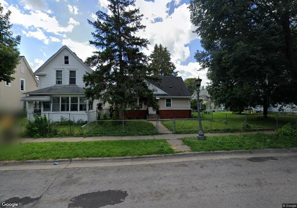
750 Thomas Ave Saint Paul, MN 55104
Frogtown NeighborhoodEstimated Value: $212,000 - $235,000
3
Beds
1
Bath
718
Sq Ft
$315/Sq Ft
Est. Value
About This Home
This home is located at 750 Thomas Ave, Saint Paul, MN 55104 and is currently estimated at $225,931, approximately $314 per square foot. 750 Thomas Ave is a home located in Ramsey County with nearby schools including Maxfield Magnet Elementary School, Hidden River Middle School, and Central Senior High School.
Ownership History
Date
Name
Owned For
Owner Type
Purchase Details
Closed on
Apr 16, 2018
Sold by
Nolden Dianne and Estate Of Andy Block Jr
Bought by
Ooi Thean Su
Current Estimated Value
Purchase Details
Closed on
Aug 25, 2013
Sold by
Block Andy and Block Lillie M
Bought by
Block Andy
Home Financials for this Owner
Home Financials are based on the most recent Mortgage that was taken out on this home.
Original Mortgage
$50,000
Interest Rate
4.38%
Mortgage Type
Credit Line Revolving
Create a Home Valuation Report for This Property
The Home Valuation Report is an in-depth analysis detailing your home's value as well as a comparison with similar homes in the area
Home Values in the Area
Average Home Value in this Area
Purchase History
| Date | Buyer | Sale Price | Title Company |
|---|---|---|---|
| Ooi Thean Su | $112,000 | None Available | |
| Block Andy | -- | Chicago Title Insurance |
Source: Public Records
Mortgage History
| Date | Status | Borrower | Loan Amount |
|---|---|---|---|
| Previous Owner | Block Andy | $50,000 |
Source: Public Records
Tax History Compared to Growth
Tax History
| Year | Tax Paid | Tax Assessment Tax Assessment Total Assessment is a certain percentage of the fair market value that is determined by local assessors to be the total taxable value of land and additions on the property. | Land | Improvement |
|---|---|---|---|---|
| 2025 | $4,828 | $232,000 | $25,000 | $207,000 |
| 2023 | $4,828 | $234,700 | $20,000 | $214,700 |
| 2022 | $3,212 | $243,600 | $20,000 | $223,600 |
| 2021 | $2,976 | $195,500 | $20,000 | $175,500 |
| 2020 | $3,216 | $187,700 | $10,100 | $177,600 |
| 2019 | $2,820 | $178,500 | $10,100 | $168,400 |
| 2018 | $2,198 | $152,800 | $10,100 | $142,700 |
| 2017 | $1,606 | $143,400 | $10,700 | $132,700 |
| 2016 | $1,638 | $0 | $0 | $0 |
| 2015 | $1,218 | $109,100 | $10,700 | $98,400 |
| 2014 | $1,274 | $0 | $0 | $0 |
Source: Public Records
Map
Nearby Homes
- 730 Edmund Ave
- 723 Charles Ave
- 784 Edmund Ave
- 710 Lafond Ave
- 816 Edmund Ave
- 679 Edmund Ave
- 818 Edmund Ave
- 679 Charles Ave
- 653 Thomas Ave
- 852 Edmund Ave
- 818 Sherburne Ave
- 838 Sherburne Ave
- 751 Van Buren Ave
- 846 Sherburne Ave
- 639 Sherburne Ave
- 877 Charles Ave
- 885 Edmund Ave
- 876 Charles Ave
- 873 Sherburne Ave
- 646 Van Buren Ave
- 595 Grotto St N
- 758 Thomas Ave
- 762 Thomas Ave
- 755 Edmund Ave
- 747 Edmund Ave
- 766 Thomas Ave
- 759 Edmund Ave
- 741 Edmund Ave
- 605 Grotto St N
- 761 Edmund Ave
- 751 Thomas Ave
- 755 Thomas Ave
- 588 Grotto St N
- 759 Thomas Ave
- 767 Edmund Ave
- 734 Thomas Ave
- 763 Thomas Ave
- 739 Edmund Ave
- 774 Thomas Ave
- 600 Grotto St N