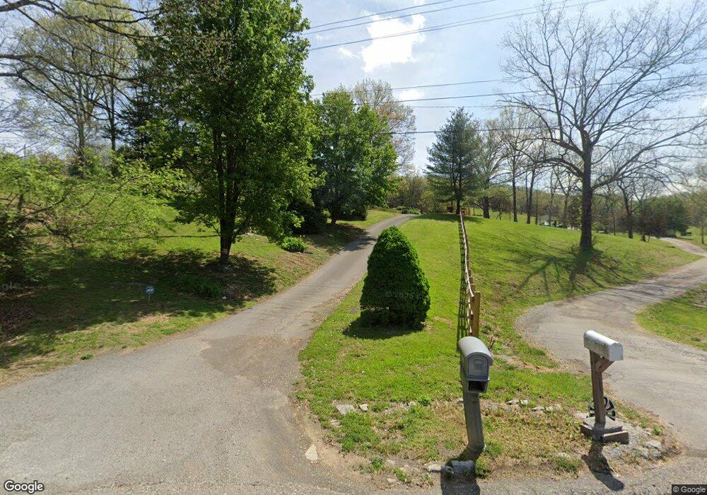
751 Cedar Fork Rd Tazewell, TN 37879
Estimated Value: $175,000 - $228,000
Studio
1
Bath
1,363
Sq Ft
$143/Sq Ft
Est. Value
About This Home
This home is located at 751 Cedar Fork Rd, Tazewell, TN 37879 and is currently estimated at $194,969, approximately $143 per square foot. 751 Cedar Fork Rd is a home located in Claiborne County.
Ownership History
Date
Name
Owned For
Owner Type
Purchase Details
Closed on
Feb 8, 2011
Sold by
Moles Margie F
Bought by
Moles Sandra Lee
Current Estimated Value
Purchase Details
Closed on
Dec 28, 2001
Sold by
Moles Margie
Bought by
Lowe Sandra
Purchase Details
Closed on
Dec 30, 1992
Bought by
Moles Clifford and Margie Faye
Purchase Details
Closed on
Mar 18, 1988
Purchase Details
Closed on
Jan 1, 1974
Bought by
Moles Clifford
Create a Home Valuation Report for This Property
The Home Valuation Report is an in-depth analysis detailing your home's value as well as a comparison with similar homes in the area
Home Values in the Area
Average Home Value in this Area
Purchase History
| Date | Buyer | Sale Price | Title Company |
|---|---|---|---|
| Moles Sandra Lee | $75,000 | -- | |
| Lowe Sandra | $5,850 | -- | |
| Moles Clifford | -- | -- | |
| -- | -- | -- | |
| Moles Clifford | -- | -- |
Source: Public Records
Tax History
| Year | Tax Paid | Tax Assessment Tax Assessment Total Assessment is a certain percentage of the fair market value that is determined by local assessors to be the total taxable value of land and additions on the property. | Land | Improvement |
|---|---|---|---|---|
| 2025 | $693 | $29,625 | $5,050 | $24,575 |
| 2024 | $693 | $29,625 | $5,050 | $24,575 |
| 2023 | $693 | $29,625 | $5,050 | $24,575 |
| 2022 | $593 | $29,625 | $5,050 | $24,575 |
| 2021 | $607 | $23,550 | $5,050 | $18,500 |
| 2020 | $607 | $23,550 | $5,050 | $18,500 |
| 2019 | $607 | $23,550 | $5,050 | $18,500 |
| 2018 | $607 | $23,550 | $5,050 | $18,500 |
| 2017 | $607 | $23,550 | $5,050 | $18,500 |
| 2016 | $622 | $24,125 | $5,050 | $19,075 |
| 2015 | $598 | $24,125 | $5,050 | $19,075 |
| 2014 | $598 | $24,125 | $0 | $0 |
Source: Public Records
Map
Nearby Homes
- 0 Tbd Cedar Fork Rd
- 404 Cedar Fork Rd
- 330 Wilson Hurst St
- 324 Wilson Hurst St
- 430 Mcvey Rd
- 311 Whitaker St
- 0 Bailey Hollow Rd
- 5.74 acres Bailey Cemetery Rd
- 5.74 Ac Bailey Cemetery Rd
- 5.74 Bailey Cemetery Rd
- 0 Bailey Cemetery Rd Unit 1311109
- 0 Hwy 25 E Unit 1319225
- 0 Longshore Dr Unit 1235182
- 0 Old Cave Springs Rd
- 370 Vannoy Rd
- 1751 N Broad St
- 323 Vannoy Rd
- 307 Old Kentucky Rd
- 0 Us-25e Scenic
- 1702 Haynes St
- 156 Carter Ln
- 745 Cedar Fork Rd
- 170 Carter Ln
- 728 Cedar Fork Rd
- 115 Carter Ln
- 824 Cedar Fork Rd
- 853 Cedar Fork Rd
- 320 Carter Ln
- 885 Cedar Fork Rd
- 890 Cedar Fork Rd
- 376 Carter Ln
- L1-2 Cedar Fork Rd
- L-2 Cedar Fork Rd
- L-3 Cedar Fork Rd
- L-4 Cedar Fork Rd
- 329 Carter Ln
- 928 Cedar Fork Rd
- 351 Carter Ln
- 379 Carter Ln
- 420 Carter Ln
Your Personal Tour Guide
Ask me questions while you tour the home.