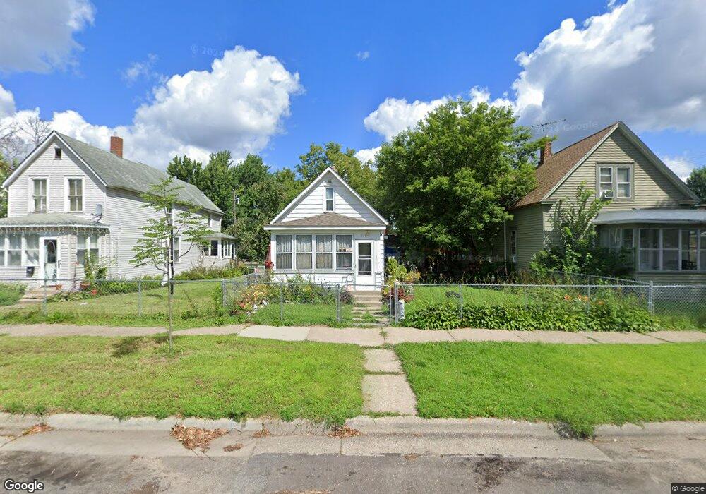
751 Lafond Ave Saint Paul, MN 55104
Frogtown NeighborhoodEstimated Value: $144,000 - $205,000
1
Bed
1
Bath
628
Sq Ft
$273/Sq Ft
Est. Value
About This Home
This home is located at 751 Lafond Ave, Saint Paul, MN 55104 and is currently estimated at $171,571, approximately $273 per square foot. 751 Lafond Ave is a home located in Ramsey County with nearby schools including Maxfield Magnet Elementary School, Hidden River Middle School, and Central Senior High School.
Ownership History
Date
Name
Owned For
Owner Type
Purchase Details
Closed on
May 29, 2014
Current Estimated Value
Purchase Details
Closed on
May 27, 2014
Sold by
Great Southern Bank
Bought by
Kbd Investments Llc
Purchase Details
Closed on
Jul 11, 2013
Sold by
Marste Properties Llc
Bought by
Great Southern Bank
Purchase Details
Closed on
Aug 29, 2001
Sold by
Layman Germaine
Bought by
Liset David
Create a Home Valuation Report for This Property
The Home Valuation Report is an in-depth analysis detailing your home's value as well as a comparison with similar homes in the area
Home Values in the Area
Average Home Value in this Area
Purchase History
| Date | Buyer | Sale Price | Title Company |
|---|---|---|---|
| -- | $30,000 | -- | |
| Kbd Investments Llc | $30,909 | Land Title Inc | |
| Great Southern Bank | $48,450 | None Available | |
| Liset David | $45,800 | -- |
Source: Public Records
Tax History Compared to Growth
Tax History
| Year | Tax Paid | Tax Assessment Tax Assessment Total Assessment is a certain percentage of the fair market value that is determined by local assessors to be the total taxable value of land and additions on the property. | Land | Improvement |
|---|---|---|---|---|
| 2025 | $3,574 | $173,300 | $25,000 | $148,300 |
| 2023 | $3,574 | $160,100 | $20,000 | $140,100 |
| 2022 | $3,210 | $141,900 | $20,000 | $121,900 |
| 2021 | $3,040 | $127,600 | $20,000 | $107,600 |
| 2020 | $3,036 | $119,900 | $11,200 | $108,700 |
| 2019 | $2,954 | $109,500 | $11,200 | $98,300 |
| 2018 | $1,778 | $91,800 | $11,200 | $80,600 |
| 2017 | $1,964 | $81,500 | $11,200 | $70,300 |
| 2016 | $1,630 | $0 | $0 | $0 |
| 2015 | $2,192 | $63,400 | $11,200 | $52,200 |
| 2014 | $1,572 | $0 | $0 | $0 |
Source: Public Records
Map
Nearby Homes
- 710 Lafond Ave
- 751 Van Buren Ave
- 730 Edmund Ave
- 784 Edmund Ave
- 679 Edmund Ave
- 723 Charles Ave
- 653 Thomas Ave
- 816 Edmund Ave
- 818 Edmund Ave
- 646 Van Buren Ave
- 679 Charles Ave
- 852 Edmund Ave
- 631 Van Buren Ave
- 885 Edmund Ave
- 818 Sherburne Ave
- 877 Charles Ave
- 639 Sherburne Ave
- 838 Sherburne Ave
- 876 Charles Ave
- 846 Sherburne Ave
- 745 Lafond Ave
- 753 Lafond Ave
- 743 Lafond Ave
- 759 Lafond Ave
- 761 Lafond Ave
- 750 Blair Ave
- 754 Blair Ave
- 765 Lafond Ave
- 740 Blair Ave
- 748 Lafond Ave
- 762 Blair Ave
- 752 Lafond Ave
- 742 Lafond Ave
- 758 Lafond Ave
- 766 Blair Ave
- 771 Lafond Ave
- 762 Lafond Ave
- 762 Lafond Ave Unit 2
- 770 Blair Ave
- 768 Lafond Ave Unit 1