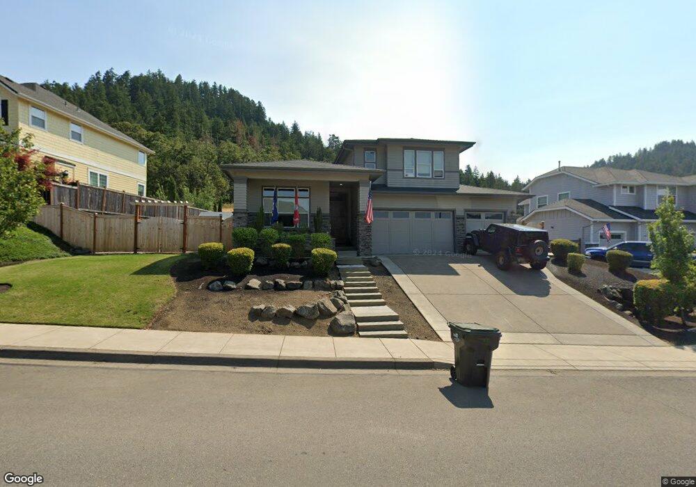
751 Mountaingate Dr Unit 107 Springfield, OR 97478
Thurston NeighborhoodEstimated Value: $820,000 - $858,000
4
Beds
3
Baths
2,699
Sq Ft
$308/Sq Ft
Est. Value
About This Home
This home is located at 751 Mountaingate Dr Unit 107, Springfield, OR 97478 and is currently estimated at $830,909, approximately $307 per square foot. 751 Mountaingate Dr Unit 107 is a home located in Lane County with nearby schools including Ridgeview Elementary School, Agnes Stewart Middle School, and Thurston High School.
Ownership History
Date
Name
Owned For
Owner Type
Purchase Details
Closed on
Aug 16, 2019
Sold by
Pederson Dean L
Bought by
Aldous Ron and Aldous Heidi M
Current Estimated Value
Home Financials for this Owner
Home Financials are based on the most recent Mortgage that was taken out on this home.
Original Mortgage
$460,000
Interest Rate
3.7%
Mortgage Type
New Conventional
Purchase Details
Closed on
Jul 22, 2016
Sold by
Suntrust Land Company Llc
Bought by
Pederson Dean L
Home Financials for this Owner
Home Financials are based on the most recent Mortgage that was taken out on this home.
Original Mortgage
$28,550
Interest Rate
3.48%
Mortgage Type
Credit Line Revolving
Create a Home Valuation Report for This Property
The Home Valuation Report is an in-depth analysis detailing your home's value as well as a comparison with similar homes in the area
Home Values in the Area
Average Home Value in this Area
Purchase History
| Date | Buyer | Sale Price | Title Company |
|---|---|---|---|
| Aldous Ron | $575,000 | First American | |
| Pederson Dean L | $467,397 | Cascade Title Company |
Source: Public Records
Mortgage History
| Date | Status | Borrower | Loan Amount |
|---|---|---|---|
| Open | Aldous Ron | $446,500 | |
| Closed | Aldous Ron | $460,000 | |
| Previous Owner | Pederson Dean L | $28,550 | |
| Previous Owner | Pederson Dean L | $415,470 | |
| Previous Owner | Suntrust Land Company Llc | $323,100 |
Source: Public Records
Tax History
| Year | Tax Paid | Tax Assessment Tax Assessment Total Assessment is a certain percentage of the fair market value that is determined by local assessors to be the total taxable value of land and additions on the property. | Land | Improvement |
|---|---|---|---|---|
| 2025 | $8,449 | $460,742 | -- | -- |
| 2024 | $8,312 | $447,323 | -- | -- |
| 2023 | $8,312 | $434,295 | -- | -- |
| 2022 | $7,698 | $421,646 | $0 | $0 |
| 2021 | $7,560 | $409,366 | $0 | $0 |
| 2020 | $7,339 | $397,443 | $0 | $0 |
| 2019 | $7,119 | $385,867 | $0 | $0 |
| 2018 | $6,710 | $363,717 | $0 | $0 |
| 2017 | $6,453 | $363,717 | $0 | $0 |
| 2016 | $1,409 | $80,482 | $0 | $0 |
| 2015 | $1,302 | $75,716 | $0 | $0 |
| 2014 | $1,307 | $74,911 | $0 | $0 |
Source: Public Records
Map
Nearby Homes
- 5972 Mount Vernon Rd
- 6225 Forest Ridge Dr
- 0 Forest Ridge Dr Unit 637211360
- 0 Forest Ridge Unit 520732026
- 6884 Forest Ridge Dr
- 421 S 58th St
- 6451 Dogwood St
- 5761 Mt Vernon Rd
- 962 S 66th Place
- 967 S 66th Place
- 5995 Main St
- 994 S 67th St
- 982 S 66th Place
- 1981 S 59th St
- 6842 Jessica Dr
- 6050 Pebble Ct
- 5241 Holly St
- 5247 Holly St
- 6445 B St
- 205 S 54th St
- 751 Mountaingate Dr
- 787 Mountaingate Dr Unit 106
- 725 Mountaingate Dr
- 787 Address Unknown Dr
- 815 Mountaingate Dr Unit 105
- 815 Mountaingate Dr
- 746 Mountaingate Dr
- 722 Mountaingate Dr
- 687 Mountaingate Dr
- 780 Mountaingate Dr
- 694 Mountaingate Dr
- 810 Mountaingate Dr Unit 99
- 831 Mountaingate Dr Unit 104
- 831 Mountaingate Dr
- 661 Mountaingate Dr Unit 110
- 678 Mountaingate Dr
- 838 Mountaingate Dr
- 859 Mountaingate Dr
- 630 Mountaingate Dr
- 625 Mountaingate Dr
Your Personal Tour Guide
Ask me questions while you tour the home.