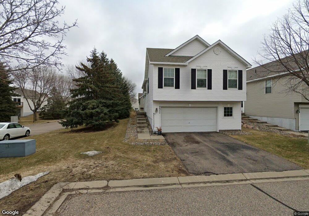
7511 Hampton Ln Shakopee, MN 55379
Estimated Value: $322,804 - $341,000
4
Beds
3
Baths
1,828
Sq Ft
$181/Sq Ft
Est. Value
About This Home
This home is located at 7511 Hampton Ln, Shakopee, MN 55379 and is currently estimated at $330,201, approximately $180 per square foot. 7511 Hampton Ln is a home located in Scott County with nearby schools including Red Oak Elementary School, Shakopee West Middle School, and Shakopee Senior High School.
Ownership History
Date
Name
Owned For
Owner Type
Purchase Details
Closed on
Nov 3, 2020
Sold by
Trindiad Teodora and Trindiad Alfredo
Bought by
Trindiad Alfredo and Trindiad Teodora
Current Estimated Value
Purchase Details
Closed on
Oct 29, 2018
Sold by
Coronel Trinidad Alfredo Corona and Coronel Trinidad Teodora
Bought by
Trinidad Teodora and Trinidad Alfredo
Purchase Details
Closed on
Jul 30, 2001
Sold by
The Ryland Group Inc
Bought by
Trinidad Alfredo
Purchase Details
Closed on
May 10, 1999
Sold by
Shakopee Crossings Ltd Partnership
Bought by
The Ryland Group Inc
Create a Home Valuation Report for This Property
The Home Valuation Report is an in-depth analysis detailing your home's value as well as a comparison with similar homes in the area
Home Values in the Area
Average Home Value in this Area
Purchase History
| Date | Buyer | Sale Price | Title Company |
|---|---|---|---|
| Trindiad Alfredo | -- | None Available | |
| Trinidad Teodora | -- | None Available | |
| Trinidad Alfredo | $205,240 | -- | |
| The Ryland Group Inc | $1,400,000 | -- |
Source: Public Records
Tax History
| Year | Tax Paid | Tax Assessment Tax Assessment Total Assessment is a certain percentage of the fair market value that is determined by local assessors to be the total taxable value of land and additions on the property. | Land | Improvement |
|---|---|---|---|---|
| 2025 | $3,212 | $334,400 | $114,100 | $220,300 |
| 2024 | $2,802 | $319,100 | $108,700 | $210,400 |
| 2023 | $2,878 | $271,700 | $63,900 | $207,800 |
| 2022 | $3,022 | $274,500 | $65,500 | $209,000 |
| 2021 | $2,666 | $249,500 | $51,300 | $198,200 |
| 2020 | $2,952 | $243,000 | $47,300 | $195,700 |
| 2019 | $2,822 | $237,300 | $50,000 | $187,300 |
| 2018 | $2,564 | $0 | $0 | $0 |
| 2016 | $2,440 | $0 | $0 | $0 |
| 2014 | -- | $0 | $0 | $0 |
Source: Public Records
Map
Nearby Homes
- 1339 Yorkshire Ln
- 7506 Hampton Ln
- 7463 Derby Ln Unit 907
- 7343 Derby Ln
- 1693 Windsor Dr S
- 1763 Switchgrass Ct
- 1764 Fescue Ct
- 8506 Grove Cir
- 1782 Switchgrass Cir
- 8530 Grove Cir
- 1820 Foothill Trail
- 1821 Foothill Trail
- 1955 Red Oak
- 1999 Red Oak Path
- 7427 Water St
- 7459 Waters Edge Ave
- 2087 Brookview St
- 8490 Moraine Cir
- 7696 Waverly Ave
- 7660 Waverly Ave
- 7515 Hampton Ln
- 7519 Hampton Ln
- 1460 Yorkshire Ln
- 1464 Yorkshire Ln
- 7537 Devin Ln
- 7523 Hampton Ln
- 7507 Hampton Ln
- 1468 Yorkshire Ln
- 7503 Hampton Ln
- 7499 Hampton Ln
- 1412 Yorkshire Ln
- 1472 Yorkshire Ln
- 7533 Devin Ln
- 7527 Hampton Ln
- 7501 Devin Ln
- 7495 Hampton Ln
- 1408 Yorkshire Ln
- 1476 Yorkshire Ln
- 7529 Devin Ln
- 7505 Devin Ln
Your Personal Tour Guide
Ask me questions while you tour the home.