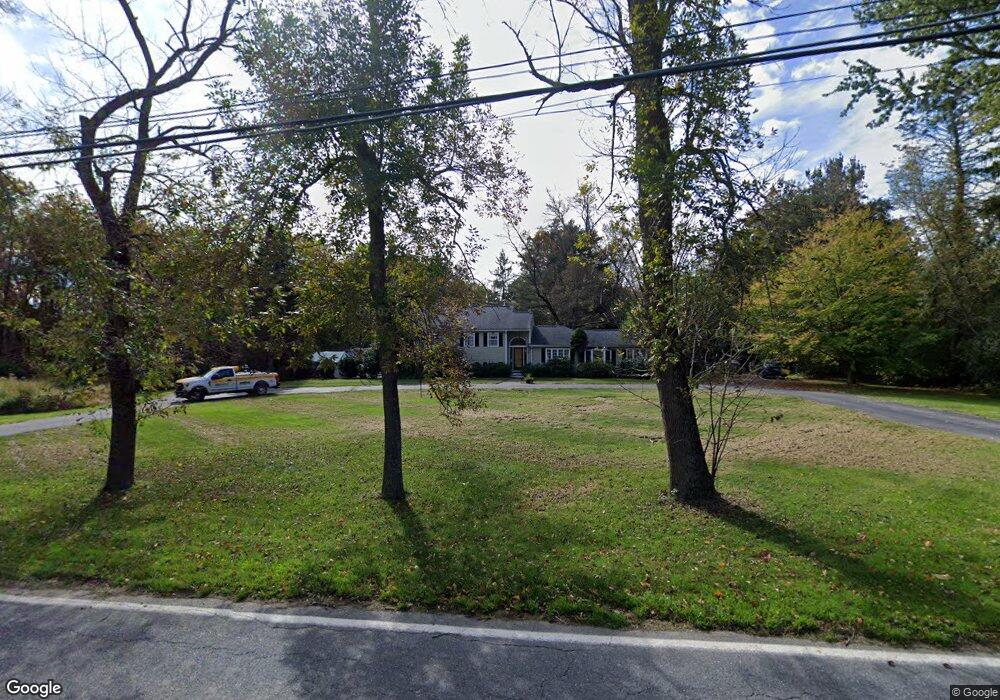
752 Concord Rd Sudbury, MA 01776
Estimated Value: $964,827 - $1,478,000
3
Beds
4
Baths
2,284
Sq Ft
$498/Sq Ft
Est. Value
About This Home
This home is located at 752 Concord Rd, Sudbury, MA 01776 and is currently estimated at $1,138,207, approximately $498 per square foot. 752 Concord Rd is a home located in Middlesex County with nearby schools including Josiah Haynes Elementary School, Ephraim Curtis Middle School, and Lincoln-Sudbury Regional High School.
Ownership History
Date
Name
Owned For
Owner Type
Purchase Details
Closed on
Mar 25, 1999
Sold by
Snay Robert M and Snay Linda A
Bought by
Stgeorge Lawrence J and St George Lucie
Current Estimated Value
Create a Home Valuation Report for This Property
The Home Valuation Report is an in-depth analysis detailing your home's value as well as a comparison with similar homes in the area
Home Values in the Area
Average Home Value in this Area
Purchase History
| Date | Buyer | Sale Price | Title Company |
|---|---|---|---|
| Stgeorge Lawrence J | $405,000 | -- |
Source: Public Records
Mortgage History
| Date | Status | Borrower | Loan Amount |
|---|---|---|---|
| Open | Stgeorge Lawrence J | $193,085 | |
| Closed | Stgeorge Lawrence J | $200,000 |
Source: Public Records
Tax History Compared to Growth
Tax History
| Year | Tax Paid | Tax Assessment Tax Assessment Total Assessment is a certain percentage of the fair market value that is determined by local assessors to be the total taxable value of land and additions on the property. | Land | Improvement |
|---|---|---|---|---|
| 2025 | $11,573 | $790,500 | $373,700 | $416,800 |
| 2024 | $11,182 | $765,400 | $362,800 | $402,600 |
| 2023 | $11,115 | $704,800 | $335,900 | $368,900 |
| 2022 | $10,478 | $580,500 | $308,400 | $272,100 |
| 2021 | $6,624 | $529,100 | $308,400 | $220,700 |
| 2020 | $6,687 | $529,100 | $308,400 | $220,700 |
| 2019 | $9,476 | $529,100 | $308,400 | $220,700 |
| 2018 | $9,196 | $512,900 | $328,800 | $184,100 |
| 2017 | $8,584 | $483,900 | $312,800 | $171,100 |
| 2016 | $8,364 | $469,900 | $300,900 | $169,000 |
| 2015 | $8,191 | $465,400 | $306,300 | $159,100 |
| 2014 | $8,150 | $452,000 | $297,300 | $154,700 |
Source: Public Records
Map
Nearby Homes
- 14 Frost Ln
- 941 Concord Rd
- 63 Canterbury Dr
- Lot 5 Sailaway Ln
- 45 N Crescent Cir
- Lot 4 Sailaway Ln
- 2 Betts Way
- 8 Mina Way
- 0 Elm Unit 73282184
- Lot 9 Sailaway Ln
- 4 Betts Way
- 122 Sand Gully Rd N Unit B
- 42 Dakin Rd
- 401 Emery Ln Unit 104
- 401 Emery Ln Unit 304
- 121 White Pond Way Unit 121
- 24 Rookery Ln Unit 6
- 56 Rookery Ln Unit 4
- 427 Concord Rd
- 16 Blacksmith Dr