7526 Navigator Cir Carlsbad, CA 92011
South Beach NeighborhoodEstimated Value: $2,070,641 - $2,468,000
4
Beds
3
Baths
2,500
Sq Ft
$923/Sq Ft
Est. Value
About This Home
This home is located at 7526 Navigator Cir, Carlsbad, CA 92011 and is currently estimated at $2,308,160, approximately $923 per square foot. 7526 Navigator Cir is a home located in San Diego County with nearby schools including Pacific Rim Elementary, Aviara Oaks Middle, and Carlsbad High School.
Ownership History
Date
Name
Owned For
Owner Type
Purchase Details
Closed on
Nov 11, 2020
Sold by
Keel Family Trust and Keel Douglas Michael
Bought by
Devon Keel Manuel Trust and Manuel
Current Estimated Value
Purchase Details
Closed on
Dec 20, 2017
Sold by
Keel Carolyn J and Keel Douglas Michael
Bought by
Keel Carolyn J and Keel Douglas Michael
Purchase Details
Closed on
Jan 6, 2012
Sold by
Keel Michael C and Keel Carolyn J
Bought by
The Keel Family Trust
Purchase Details
Closed on
Aug 31, 2011
Sold by
Clark Robert M and Mcmahon Julie P
Bought by
Keel Michael C and Keel Carolyn J
Home Financials for this Owner
Home Financials are based on the most recent Mortgage that was taken out on this home.
Original Mortgage
$173,000
Interest Rate
4.15%
Mortgage Type
New Conventional
Purchase Details
Closed on
Aug 24, 2007
Sold by
Smith Roger R and Bishop Jill A
Bought by
Clark Robert M and Mcmahon Julie P
Purchase Details
Closed on
May 10, 2007
Sold by
Smith Roger R and Bishop Jill A
Bought by
Smith Roger R and Bishop Jill A
Home Financials for this Owner
Home Financials are based on the most recent Mortgage that was taken out on this home.
Original Mortgage
$350,000
Interest Rate
6.18%
Mortgage Type
Credit Line Revolving
Purchase Details
Closed on
Jan 16, 2007
Sold by
Smith Roger R
Bought by
Smith Roger R and Bishop Jill A
Home Financials for this Owner
Home Financials are based on the most recent Mortgage that was taken out on this home.
Original Mortgage
$345,000
Interest Rate
6.1%
Mortgage Type
Credit Line Revolving
Purchase Details
Closed on
Jan 12, 2007
Sold by
Bishop Jill A and Bishop Separate Propert Jill A
Bought by
Smith Roger R
Home Financials for this Owner
Home Financials are based on the most recent Mortgage that was taken out on this home.
Original Mortgage
$345,000
Interest Rate
6.1%
Mortgage Type
Credit Line Revolving
Purchase Details
Closed on
Jul 18, 2006
Sold by
Bishop Jill A
Bought by
Bishop Jill A and Bishop Separate Propert Jill A
Purchase Details
Closed on
Oct 28, 2004
Sold by
Kao Robert and Kao Anna W
Bought by
Smith Roger R and Bishop Jill A
Home Financials for this Owner
Home Financials are based on the most recent Mortgage that was taken out on this home.
Original Mortgage
$570,000
Interest Rate
5.72%
Mortgage Type
Purchase Money Mortgage
Purchase Details
Closed on
May 24, 1989
Create a Home Valuation Report for This Property
The Home Valuation Report is an in-depth analysis detailing your home's value as well as a comparison with similar homes in the area
Home Values in the Area
Average Home Value in this Area
Purchase History
| Date | Buyer | Sale Price | Title Company |
|---|---|---|---|
| Devon Keel Manuel Trust | -- | None Listed On Document | |
| Keel Carolyn J | -- | None Available | |
| The Keel Family Trust | -- | None Available | |
| Keel Michael C | $925,000 | Fidelity National Title | |
| Clark Robert M | $1,150,000 | Fidelity National Title Co | |
| Smith Roger R | -- | Multiple | |
| Smith Roger R | -- | Multiple | |
| Smith Roger R | -- | None Available | |
| Smith Roger R | -- | Lawyers Title | |
| Bishop Jill A | -- | None Available | |
| Smith Roger R | $780,000 | Commonwealth Title | |
| -- | $396,900 | -- |
Source: Public Records
Mortgage History
| Date | Status | Borrower | Loan Amount |
|---|---|---|---|
| Previous Owner | Keel Michael C | $173,000 | |
| Previous Owner | Smith Roger R | $350,000 | |
| Previous Owner | Smith Roger R | $345,000 | |
| Previous Owner | Smith Roger R | $570,000 |
Source: Public Records
Tax History
| Year | Tax Paid | Tax Assessment Tax Assessment Total Assessment is a certain percentage of the fair market value that is determined by local assessors to be the total taxable value of land and additions on the property. | Land | Improvement |
|---|---|---|---|---|
| 2025 | $12,249 | $1,176,665 | $750,672 | $425,993 |
| 2024 | $12,249 | $1,153,594 | $735,953 | $417,641 |
| 2023 | $12,186 | $1,130,975 | $721,523 | $409,452 |
| 2022 | $11,997 | $1,108,800 | $707,376 | $401,424 |
| 2021 | $11,755 | $1,073,362 | $673,943 | $399,419 |
| 2020 | $11,752 | $1,062,357 | $667,033 | $395,324 |
| 2019 | $11,540 | $1,041,527 | $653,954 | $387,573 |
| 2018 | $11,051 | $1,021,106 | $641,132 | $379,974 |
| 2017 | $10,868 | $1,001,085 | $628,561 | $372,524 |
| 2016 | $10,431 | $981,457 | $616,237 | $365,220 |
| 2015 | $10,390 | $966,716 | $606,981 | $359,735 |
| 2014 | $10,215 | $947,781 | $595,092 | $352,689 |
Source: Public Records
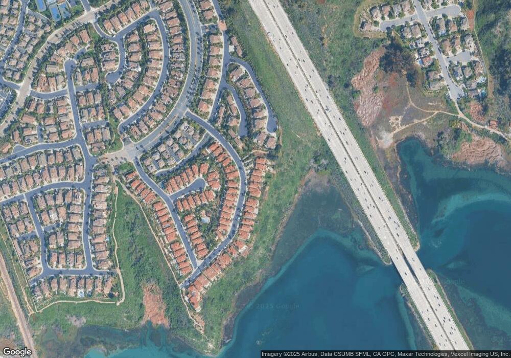
Map
Nearby Homes
- 7521 Navigator Cir
- 7457 Neptune Dr
- 7393 Portage Way
- 7354 Escallonia Ct
- 2071 W Pearl St
- 2067 W Pearl St
- 2079 E Pearl St
- 2067 E Pearl St
- 2004 W Pearl St
- 2031 E Pearl St
- 489 La Costa Ave
- 7102 Linden Terrace
- 1341 Mallard Ct
- 7233 San Bartolo St Unit 376
- 7305 San Bartolo St Unit 374
- 7236 San Benito St Unit 355
- 7320 San Bartolo St Unit 217
- 7241 San Luis St
- 7326 San Bartolo St Unit 220
- 7305 San Luis St Unit 240
- 7524 Navigator Cir
- 7528 Navigator Cir
- 7530 Navigator Cir
- 7522 Navigator Cir
- 7532 Navigator Cir
- 7497 Mermaid Ln Unit 56
- 7534 Navigator Cir
- 7527 Navigator Cir
- 7493 Mermaid Ln Unit 54
- 7529 Navigator Cir
- 7525 Navigator Cir
- 7531 Navigator Cir
- 7495 Mermaid Ln
- 7536 Navigator Cir
- 7491 Mermaid Ln
- 7523 Navigator Cir
- 7499 Seashell Ct
- 7533 Navigator Cir
- 7485 Mermaid Ln
- 7538 Navigator Cir
Your Personal Tour Guide
Ask me questions while you tour the home.