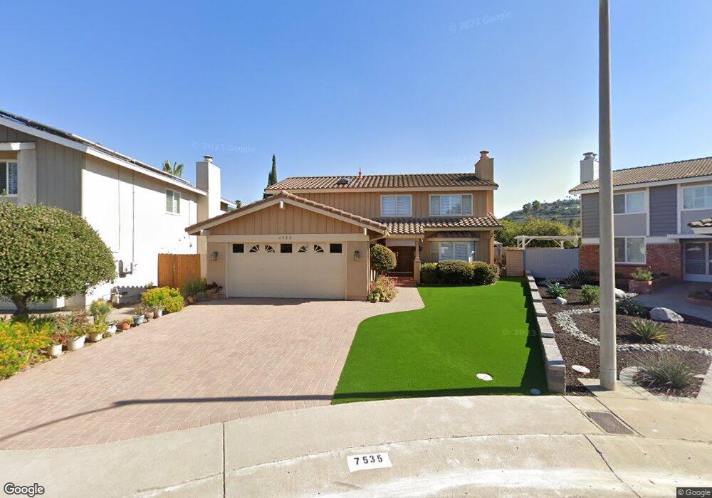
7535 Galaxy Ct San Diego, CA 92120
Allied Gardens NeighborhoodEstimated Value: $841,000 - $1,346,000
5
Beds
3
Baths
1,941
Sq Ft
$591/Sq Ft
Est. Value
About This Home
This home is located at 7535 Galaxy Ct, San Diego, CA 92120 and is currently estimated at $1,146,346, approximately $590 per square foot. 7535 Galaxy Ct is a home located in San Diego County with nearby schools including Marvin Elementary School, Lewis Middle School, and Patrick Henry High School.
Ownership History
Date
Name
Owned For
Owner Type
Purchase Details
Closed on
Jul 21, 2023
Sold by
West Steven and West Lacey
Bought by
Calo Real Estate Group Llc
Current Estimated Value
Purchase Details
Closed on
Apr 11, 2002
Sold by
Bottalico Luigi and Bottalico Raffealla
Bought by
Bottalico Luigi and Bottalico Raffealla
Purchase Details
Closed on
Mar 30, 1989
Purchase Details
Closed on
Oct 9, 1986
Create a Home Valuation Report for This Property
The Home Valuation Report is an in-depth analysis detailing your home's value as well as a comparison with similar homes in the area
Home Values in the Area
Average Home Value in this Area
Purchase History
| Date | Buyer | Sale Price | Title Company |
|---|---|---|---|
| Calo Real Estate Group Llc | $725,000 | Ticor Title - San Diego Branch | |
| Bottalico Luigi | -- | -- | |
| -- | $202,500 | -- | |
| -- | $146,800 | -- |
Source: Public Records
Tax History Compared to Growth
Tax History
| Year | Tax Paid | Tax Assessment Tax Assessment Total Assessment is a certain percentage of the fair market value that is determined by local assessors to be the total taxable value of land and additions on the property. | Land | Improvement |
|---|---|---|---|---|
| 2025 | $4,524 | $379,969 | $113,982 | $265,987 |
| 2024 | $4,524 | $372,520 | $111,748 | $260,772 |
| 2023 | $4,422 | $365,216 | $109,557 | $255,659 |
| 2022 | $4,303 | $358,056 | $107,409 | $250,647 |
| 2021 | $4,272 | $351,036 | $105,303 | $245,733 |
| 2020 | $4,220 | $347,438 | $104,224 | $243,214 |
| 2019 | $4,143 | $340,627 | $102,181 | $238,446 |
| 2018 | $3,873 | $333,949 | $100,178 | $233,771 |
| 2017 | $3,779 | $327,402 | $98,214 | $229,188 |
| 2016 | $3,717 | $320,984 | $96,289 | $224,695 |
| 2015 | $3,661 | $316,163 | $94,843 | $221,320 |
| 2014 | $3,602 | $309,971 | $92,986 | $216,985 |
Source: Public Records
Map
Nearby Homes
- 5908 Highplace Dr
- 7391 Margerum Ave
- 5885 Laramie Way
- 7760 Margerum Ave Unit 124
- 7740 Margerum Ave Unit 204
- 7760 Margerum Ave Unit 126
- 7310 Margerum Ave
- 7737 Margerum Ave Unit 205
- 7653 Mission Gorge Rd Unit 50
- 7173 Eldridge St
- 5564 Fontaine St
- 8318 Ridge Route Rd
- 8306 High Winds Way
- 6832 Lazy Clouds Point
- 5449 Chaparajos Ct
- 7890 Mission Vista Dr
- 5468 Princess View Place
- 6310 Decanture St
- 8041 Laurelridge Rd
- 6221 Brynwood Ct
- 7545 Galaxy Ct
- 7525 Galaxy Ct
- 7528 Margerum Ave
- 7518 Margerum Ave
- 7555 Galaxy Ct
- 7538 Margerum Ave
- 7515 Galaxy Ct
- 7508 Margerum Ave
- 7548 Margerum Ave
- 7514 Galaxy Ct
- 5875 Highplace Dr
- 7565 Galaxy Ct
- 7492 Margerum Ave
- 7534 Galaxy Ct
- 7558 Margerum Ave
- 7524 Galaxy Ct
- 5867 Highplace Dr
- 7488 Margerum Ave
- 7568 Margerum Ave
- 5859 Highplace Dr